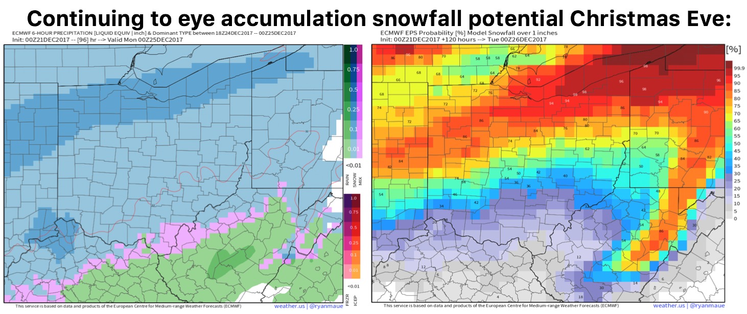
12-18-17 Indiana: Drizzle/fog poss into Tues AM…targeting late week system + Christmas forecast update. K.
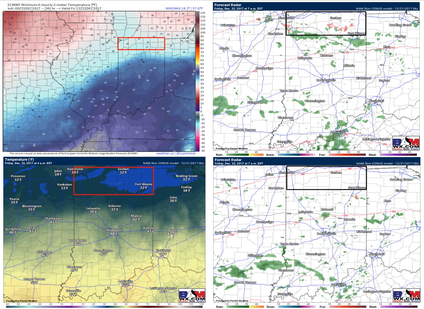
Today's video (6 min): https://www.youtube.com/watch?v=g0yzE8aa7n4 We are eyeing additional patchy mist/fog Tuesday morning...temps will be in the lower 40s so not expecting anything to be frozen: Next real precipitation chance comes Friday into Saturday as a low pressure system swings east into the Ohio Valley. Models are a little uncertain…