12-22-17 Ohio: Wet, heavy snow possible Sat…confidence grows for accumulating snowfall Christmas Eve! K.
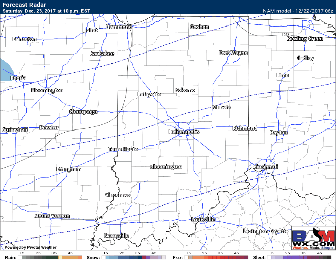
Today's video (7 min): http://youtu.be/e859i0wTUNA?hd=1 Drizzle and mild conditions persist throughout the day, moderate to heavy rainfall works in later this evening especially south of I-70. Expecting things to transition over to frozen precipitation and likely heavy, wet snow by Saturday morning slowly pushing east throughout the day (again, mainly…