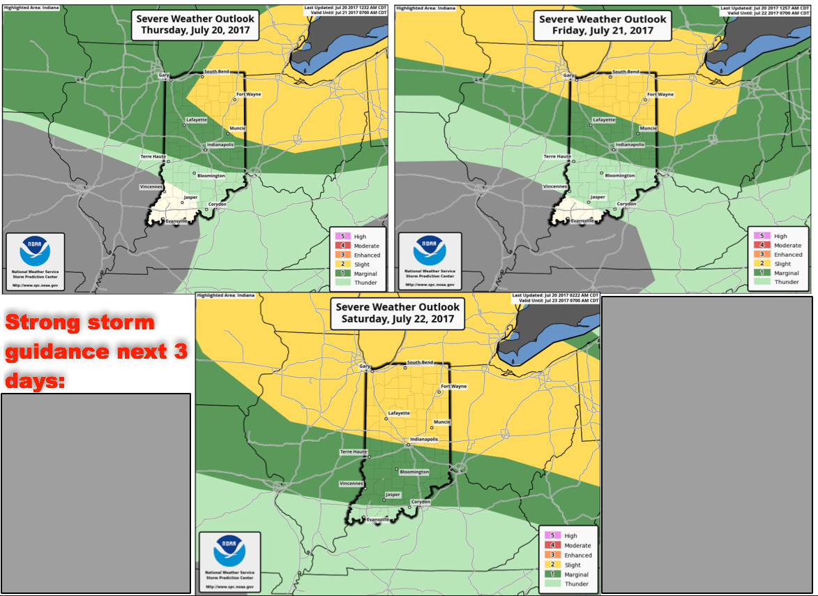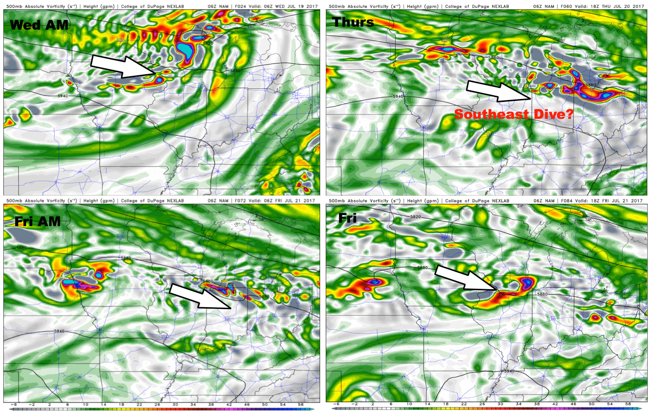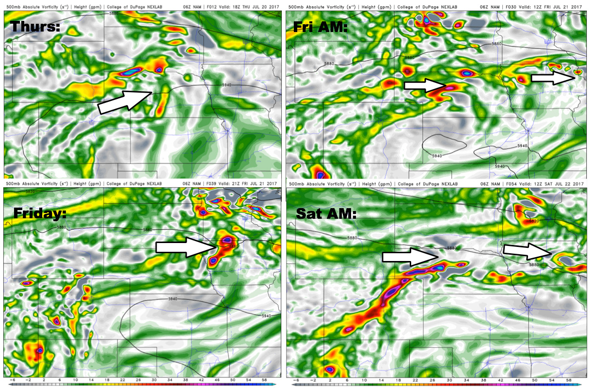
#NEwx #KSwx #MOwx #IAwx Excessive heat continues…sct’d strong storms possible next 3 days. K.
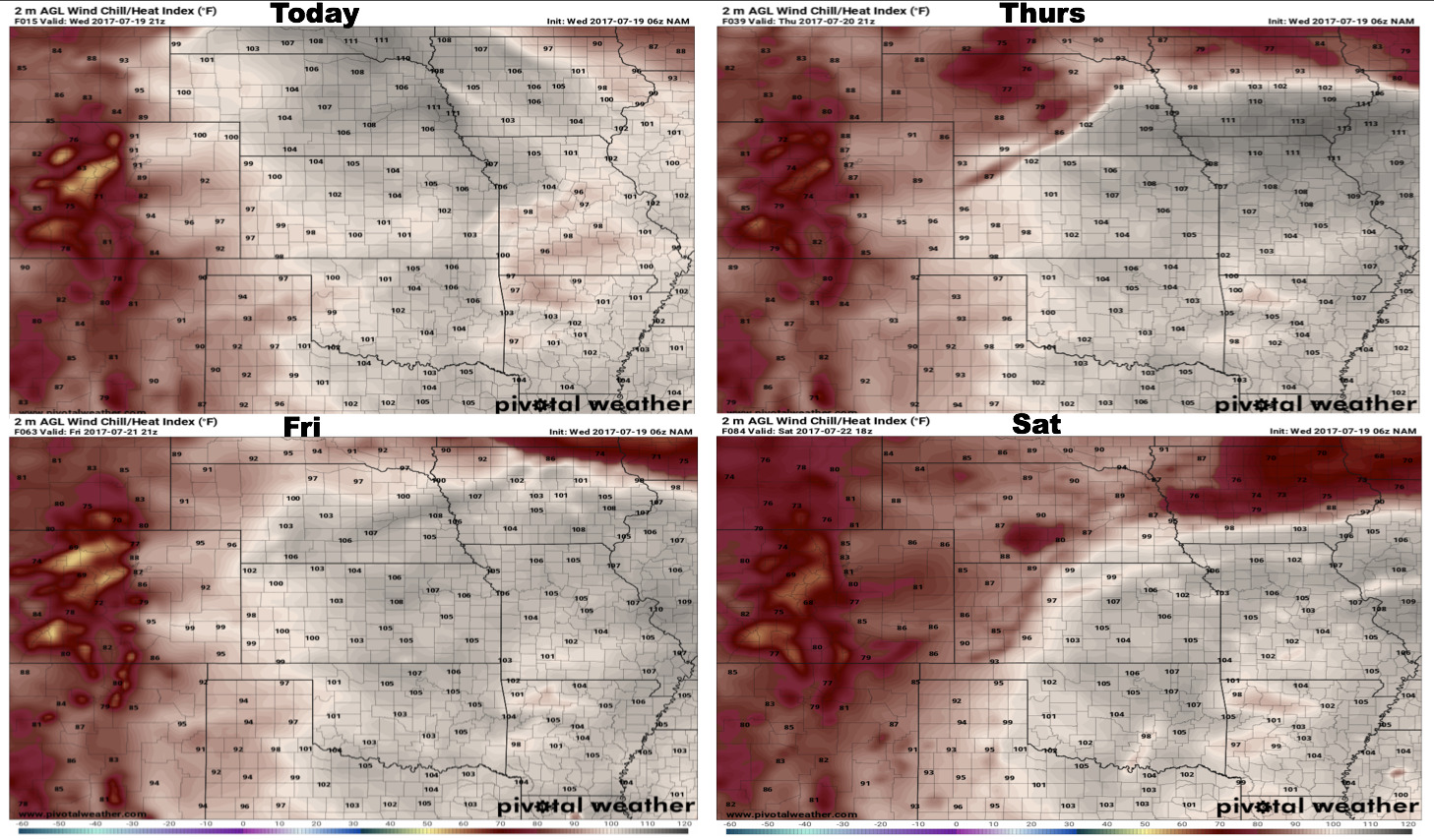
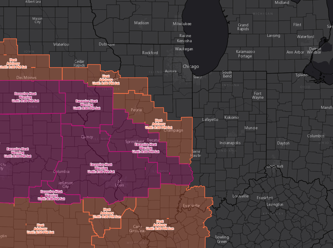
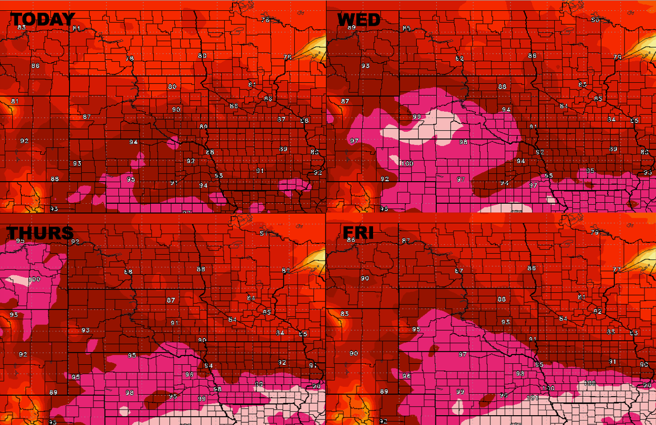
Key Points - Thursday, July 20, 2017: Synopsis: Excessive heat risks continue over the next 4 days...we believe temperature relief is ahead into next week, but we have some serious heat still to work in and elevated overnight lows heading into the weekend. In the video we discuss the continued…