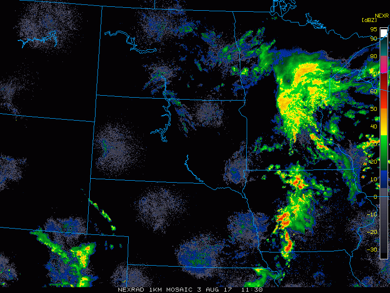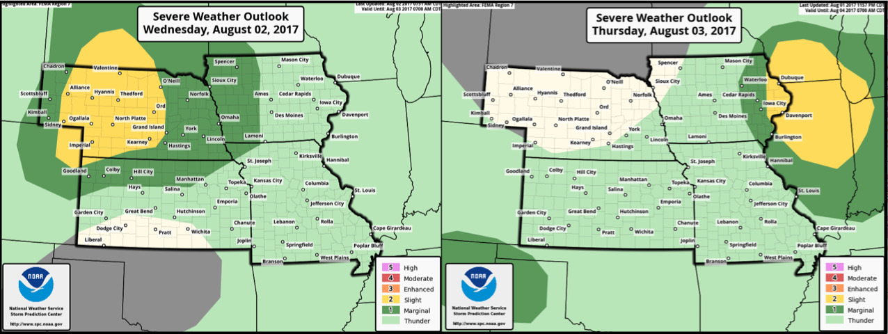
#NEwx #KSwx #MOwx #IAwx Storm risk shifts east today, additional storm chances return this weekend. N.
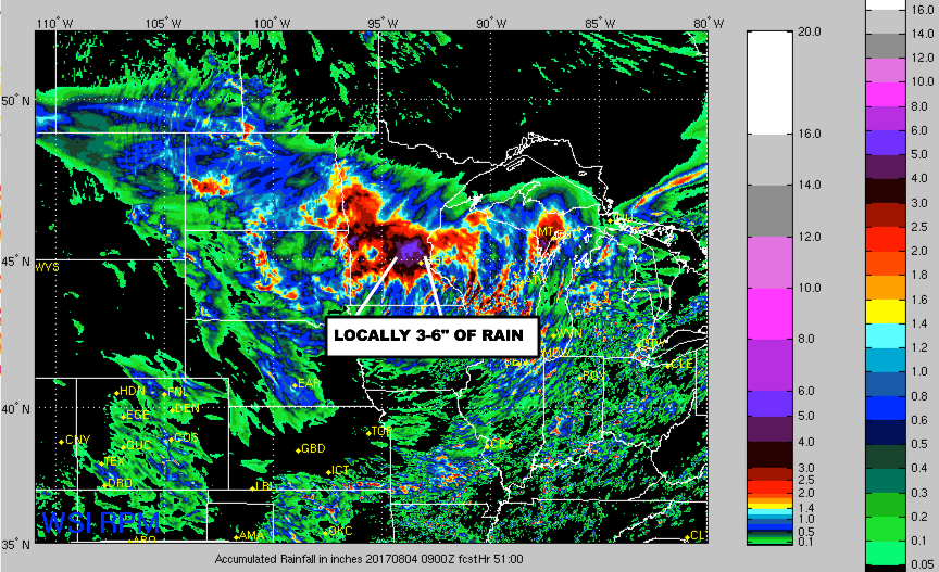
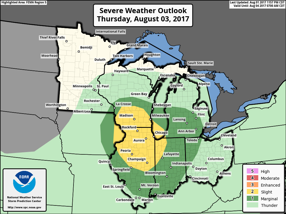
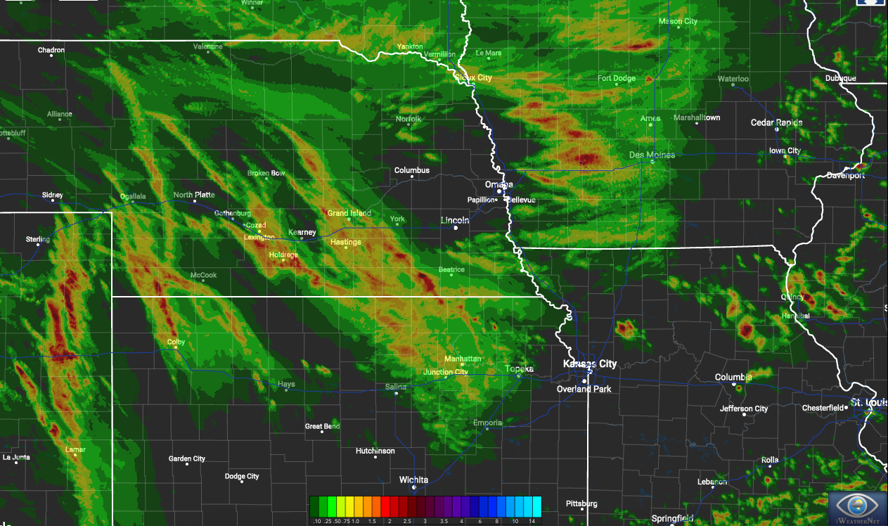
Key Points - Thursday, August 3, 2017: Synopsis: Good Thursday morning! Storm chances will continue to target mainly the eastern portions of the area today. Surface high pressure builds in tonight and Friday with cooler and drier air, then storm chances return to the forecast this weekend. Detailed analysis in…