11-14-17 Nebraska Forecast: Fog and clouds linger east today, sunshine state-wide Wednesday. Another front arrives late Friday. N.
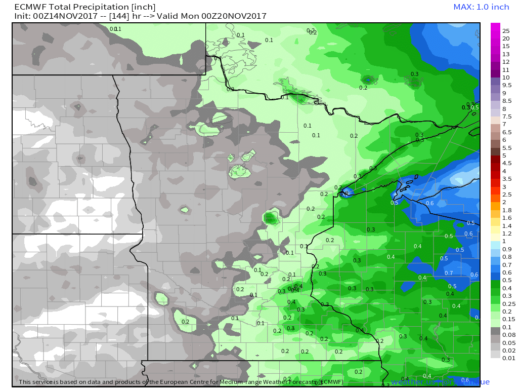
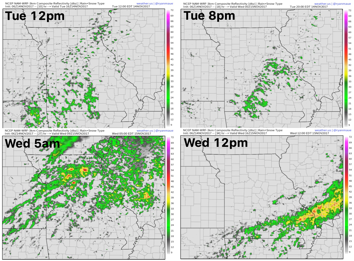
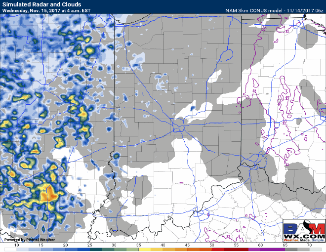
Today's video (5:32): https://www.youtube.com/watch?v=PKsPn8pzwV8&feature=youtu.be&hd=1 Updated dense fog advisories the morning current as of 10amEST: Simulated radar guidance over the next 24 hours using the HRRR model...far southeast locations the only area of focus regarding rainfall into Wednesday: Total rainfall guidance over the next 7 days from the European model shows…