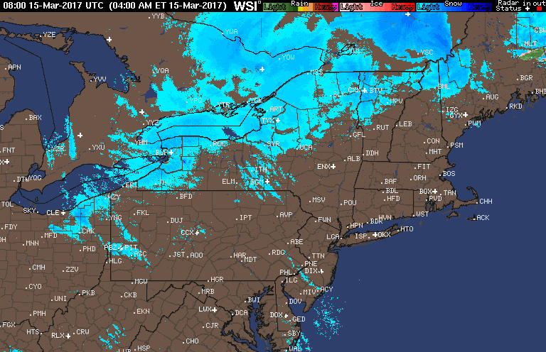
Good morning. The major winter storm that impacted the region yesterday as moved off to the northeast, but some lingering snow showers will stick around through most of today especially across the interior. Here’s the latest radar.
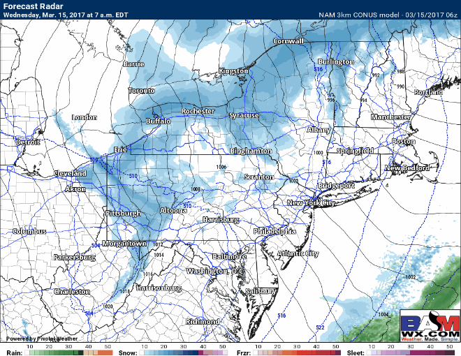
Here’s the radar for today. A chilly day for the region with spotty snow showers through the day. These will mainly not accumulate, but some persistent bands can drop a coating to 2 inches.
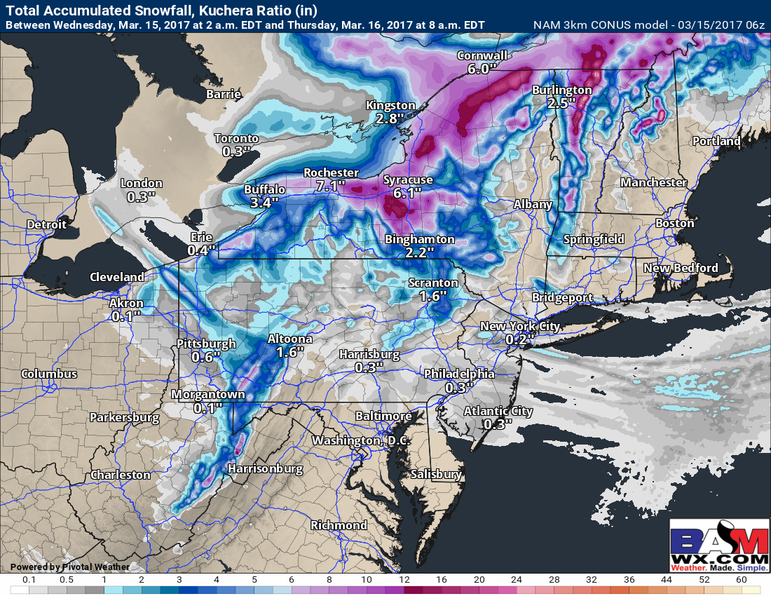
Snowfall from the 3KM NAM model for today shows the isolated bands of accumulation well.
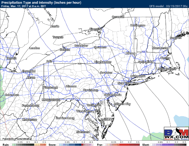
Thursday will be a dry, cold day, but then we turn our attention to Friday and into the weekend. We will be dealing with a complicated set up with a storm bringing mixed precipitation through the weekend. I’ll have more details on this set up in the video below so make sure to watch! Here’s the latest GFS model.
Risks and Confidence:
- High confidence in snow showers today across the region, but only low to moderate confidence on where the snow showers are persistent and actually accumulate.
- High confidence on a drier day Thursday.
- Low to moderate confidence on the details of the storminess this weekend. Stay tuned!