Good afternoon! I wanted shed a little light on the possible storm threat next weekend, the drivers behind the pattern, and what it can mean for the Northeast. We start with what is going on now in the northern hemisphere. Notice through mid week a large cyclone will develop north of the Great Lakes. Once modeling gets a handle on this system, things should become MUCH clearer.
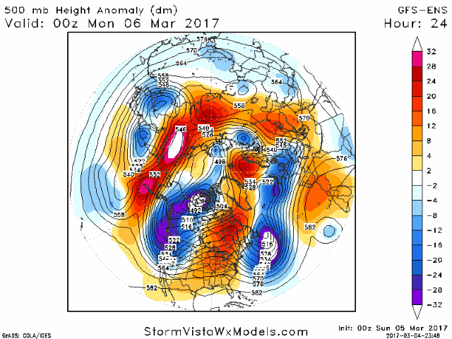
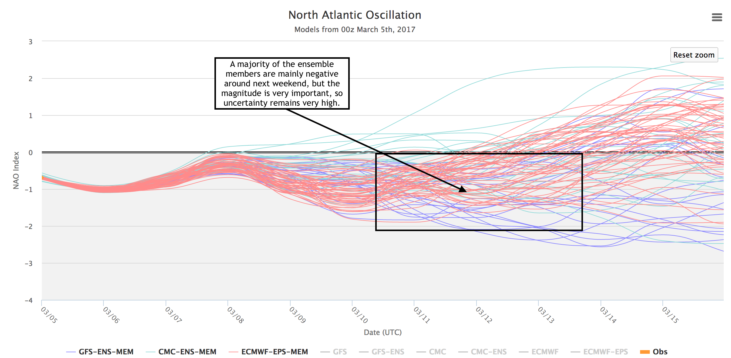
This will help clarify the atmospheric pattern in the Atlantic and this is a major driver behind whether we see a wintry event or not. For example, take a look at the latest North Atlantic Oscillation (NAO forecasts). Negative values mean there’s plentiful blocking high pressure near Greenland, more favorable for storm formation. Positive values mean there is lower pressure in the North Atlantic, less favorable for impactful Northeast winter storms. Look at the volatility in this data – there is still a lot to figure out going forward here.
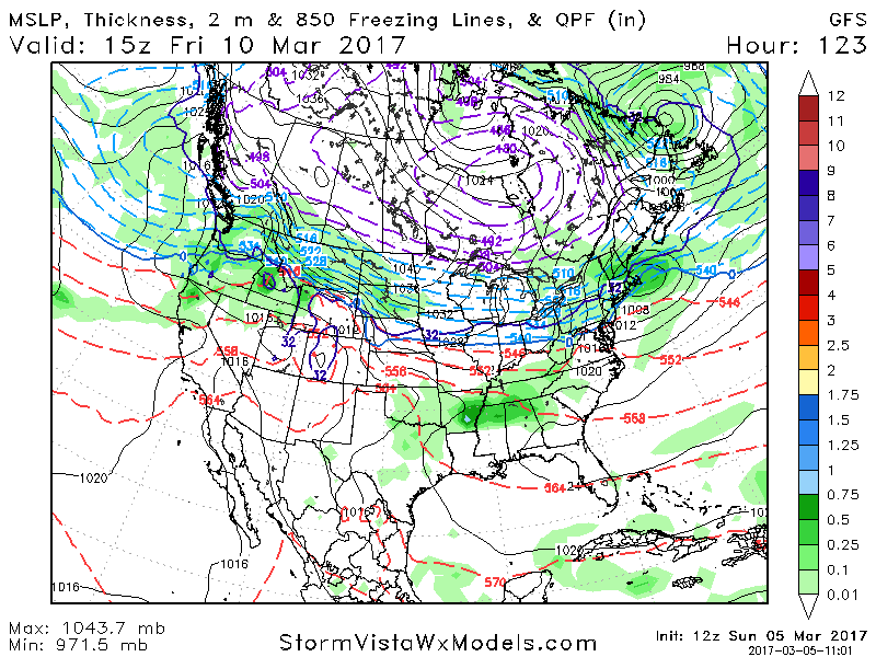
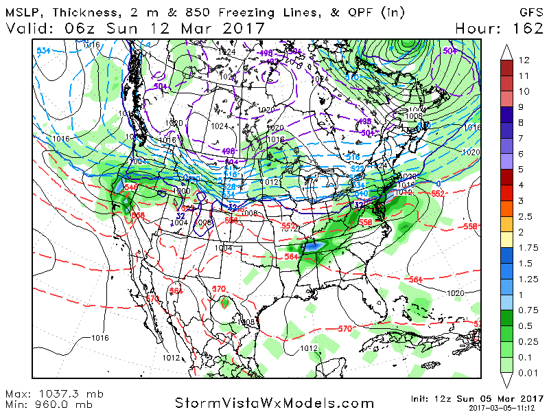
Right now, there are two storm threats. One of Friday and then another on Sunday. Right now, both threats are VERY low confidence. Here’s the latest GFS for both days – note the GFS ensemble supports these two threats as well. Both will likely have a rain/snow line associated with them so we need to keep a close eye on both of these events through this week!
I’ll have a full blog and video update out early tomorrow morning. Have a wonderful afternoon! ~Ed