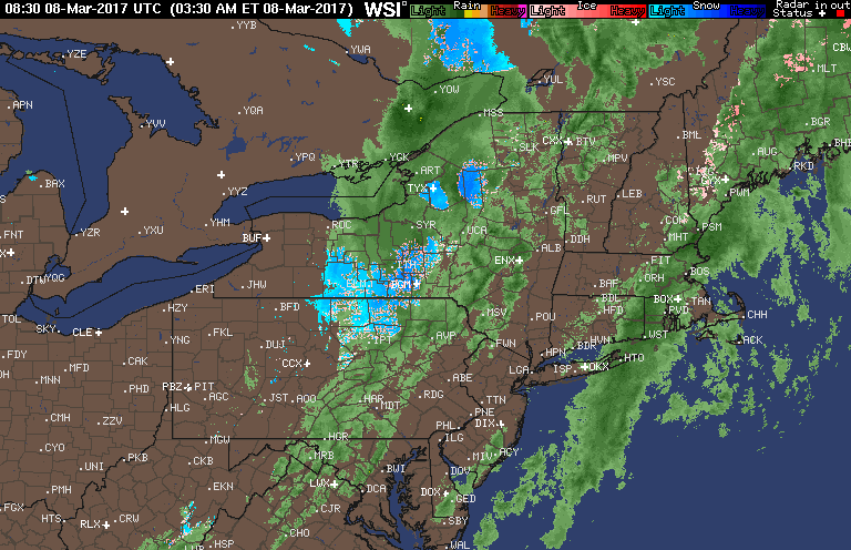
Good morning! We are watching warmer air moving into the region along with a cold front pushing through PA with some showers and even a few snowflakes mixed in across the southern tier of New York. Here’s the radar as of 5:50 AM.
This front will move through the day today with clearing expected this morning west and by this afternoon east. Here’s the projected radar.
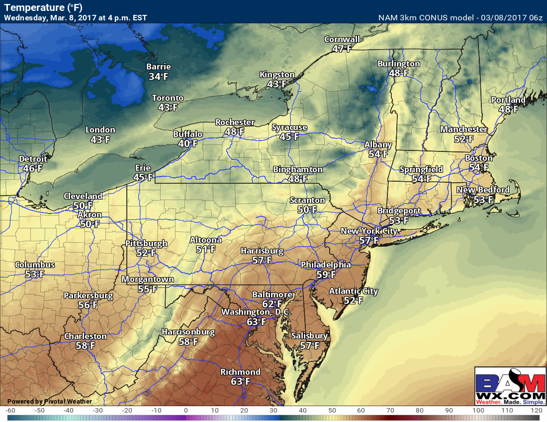
Temperatures will certainly be spring like today getting into the 50s to near 60!
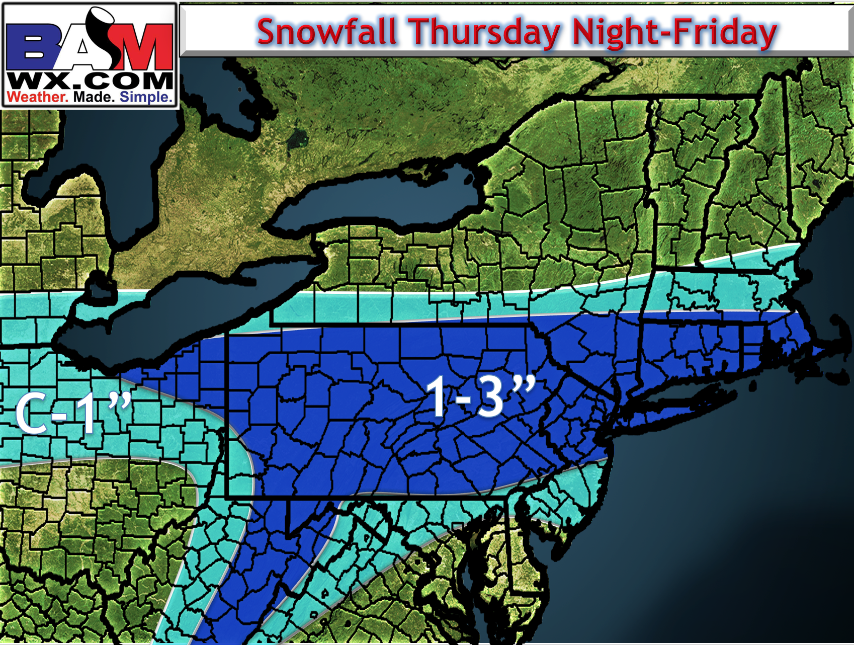
Our focus then turns to a disturbance moving into the region from the northwest Friday. Latest guidance continues to track a wave of energy across the region as a cold front moves south. This continues to look favorable for some snowfall late Thursday into Friday along I-70, I-80, and into southern New England.
The biggest challenge with this forecast will be how much snow sticks to pavement. Notice temperatures Thursday night start in the upper 30s, then drop into the lower 30s as snow picks up around sunrise. Snow will have a hard time sticking at first given these temperatures.
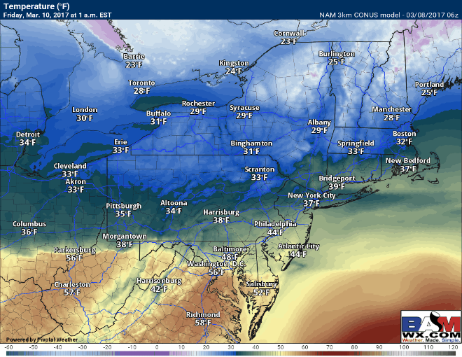
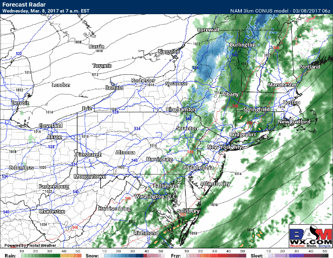
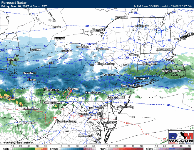
However, as snowfall picks up in intensity Friday morning, it likely will stick to pavement. Still, *uncertainty exists in how heavy the snow will be* so exact accumulations on pavement remain tough to pinpoint. Here’s the projected radar through 1pm Friday.
First idea of snowfall for the event. This will be wet snow region wide and risks are there for more/less depending on intensity, temperatures and exact track. I will update this this afternoon!
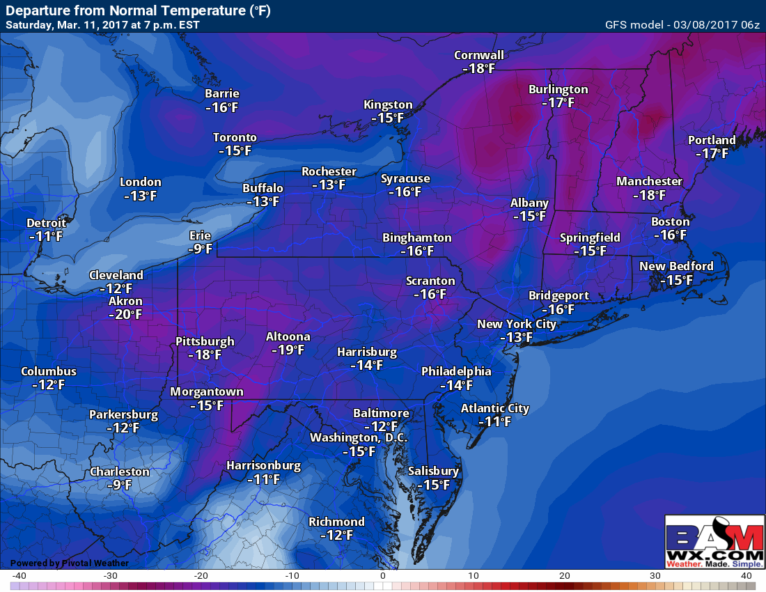
The Sunday storm has shifted well south on guidance once again and is no longer a threat to the region. However, it will be brutally cold similar to last weekend. Here’s a look at temperatures for Saturday compared to normal…10-20°F below!
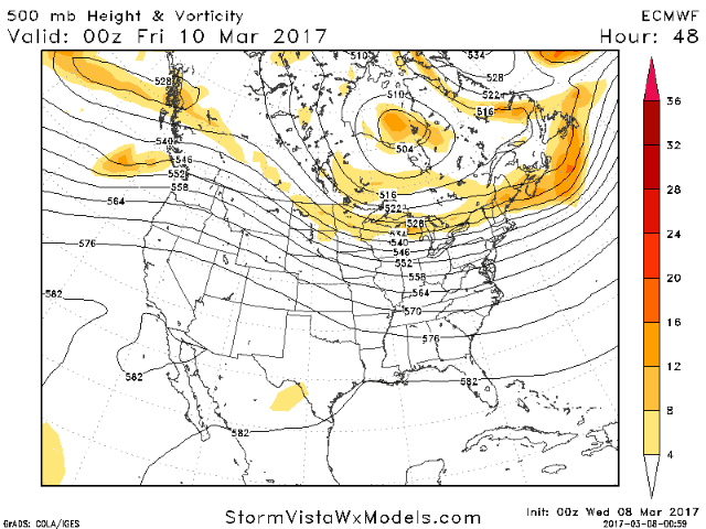
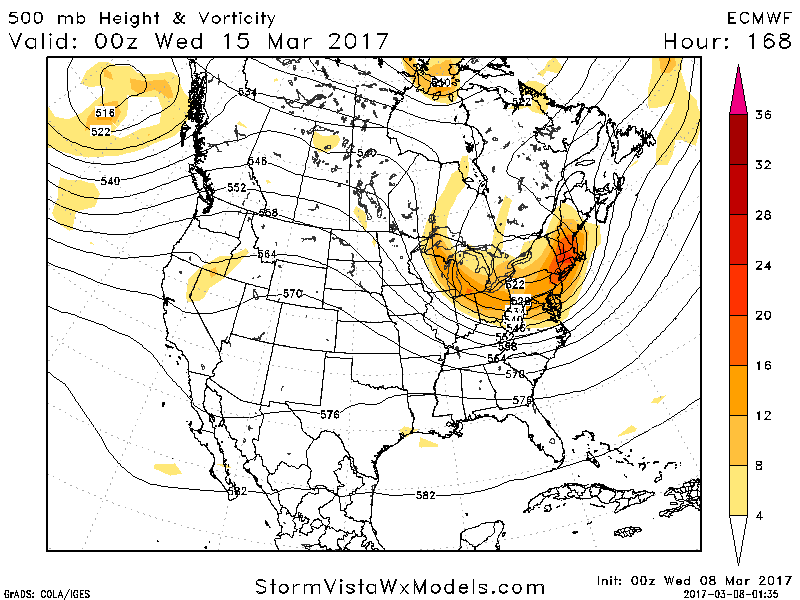
The next system comes into focus for early next week. Here’s the latest forecast upper pattern- something definitely looks to be brewing, but details are quite uncertain since the pattern will adjust based on where the Friday and Sunday storms track. I’ll have more in the video below!
Confidence and Risks:
- High confidence on colder, dry weather this afternoon and Thursday.
- Moderate to high confidence on storm track Friday and Sunday.
- Low to moderate confidence on intensity of snow Friday which will be important for pavement accumulations.
- Low confidence on the track of the storm for early next week as it depends on how the weekend pattern shapes up.
The video analysis below covers it all. Have a great day. ~Ed