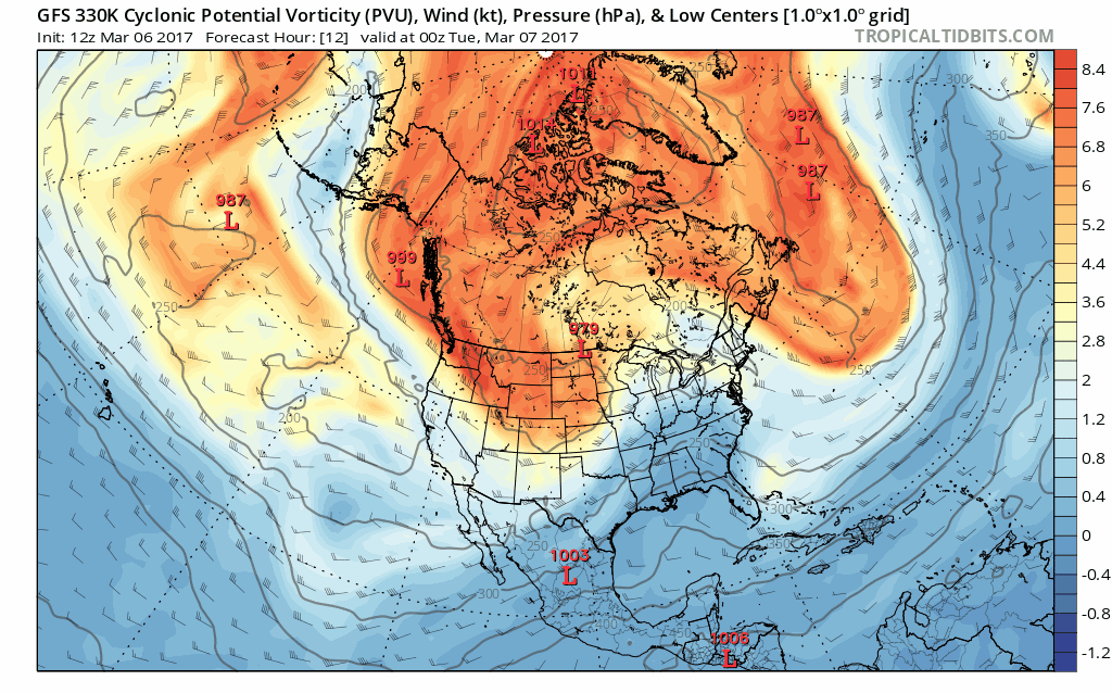
Good afternoon! We continue to monitor the end of week threats across the region as a strong storm system carves out the pattern going forward. This “wave break” was missed by all guidance at extended lead time, but now that it is in the short term, guidance is honed in on colder, wintry pattern from this week through next week. Watch this strong system carve out a colder pattern below.
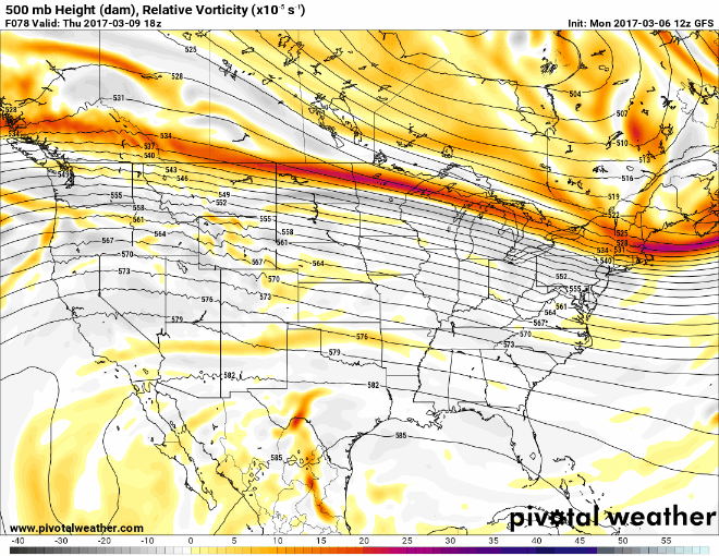
Beyond this, we watch the track of energy Thursday into Friday which will determine who sees any snowfall Friday. Here’s the latest GFS 500mb vorticity (energy) track for Friday, which would deliver a bit of snowfall along I-70 and I-80 Friday.
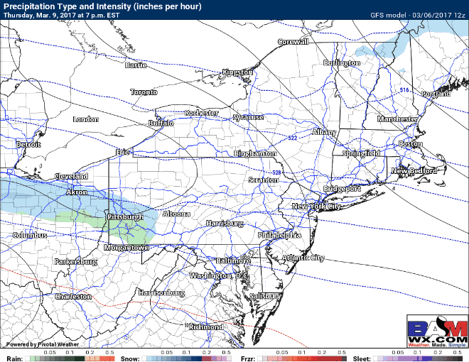
Surface reflection from this type of solution would yield a few inches of snow. The latest GFS surface reflection.
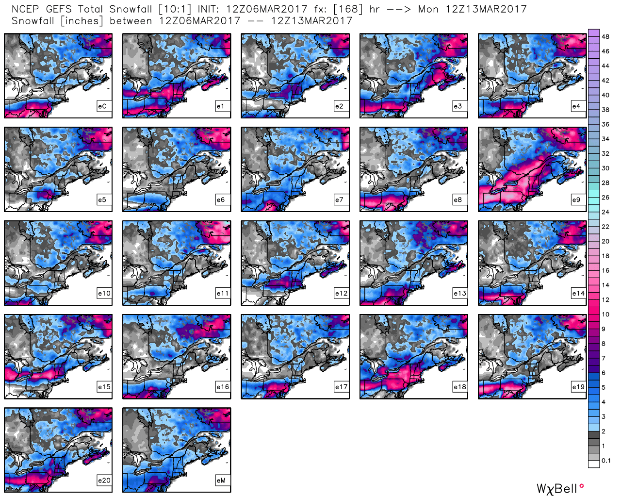
The problem beyond Friday is this: wherever the energy from Friday tracks will determine where the Sunday storm tracks. The best we can do at this point is to use ensemble guidance, which has the highest skill scores in these types of situations. Notice there are a variety of possible outcomes here and confidence remains low.
Regardless, two threats for snow remain on the table Friday and Sunday. The video sheds some additional light here. ~Ed