Good morning! Quick update based on latest observations across the region. Here’s the latest satellite as of 11 AM. Notice the clearing across south central PA. This will continue into NJ this afternoon. Further north, limited clearing between the first batch of storms in southern New England and the main line across PA may limit severe weather across NYC into New England.
Here’s my latest thinking for where the highest threat of severe weather will be along with the expected hazards.
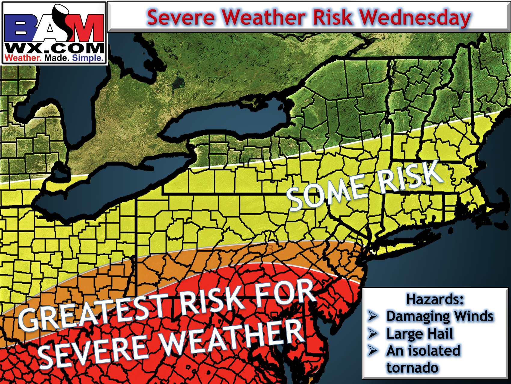
Here’s the latest HRRR model, illustrating this as a Mid-Atlantic threat. Southern New England can still see gusty, locally severe storms, but the best chance looks to be further south.
I’ll have more updates this afternoon. ~Ed