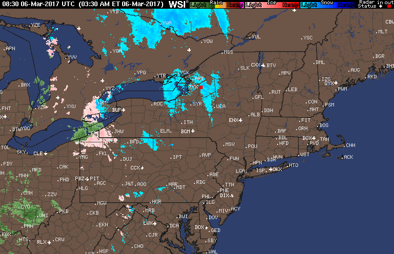
Good morning! We are watching a warm front move through the Ohio Valley this morning will some sprinkle and flurry activity and an increase in cloud cover. Here’s the radar as of 5:50 AM.
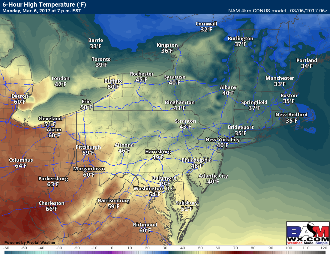
This front will progress northeastward through the day today with some showers and increasing clouds across PA into the Hudson Valley and even New England late this afternoon. High temperatures today will get into the 40s and 50s west and only the 30s east.
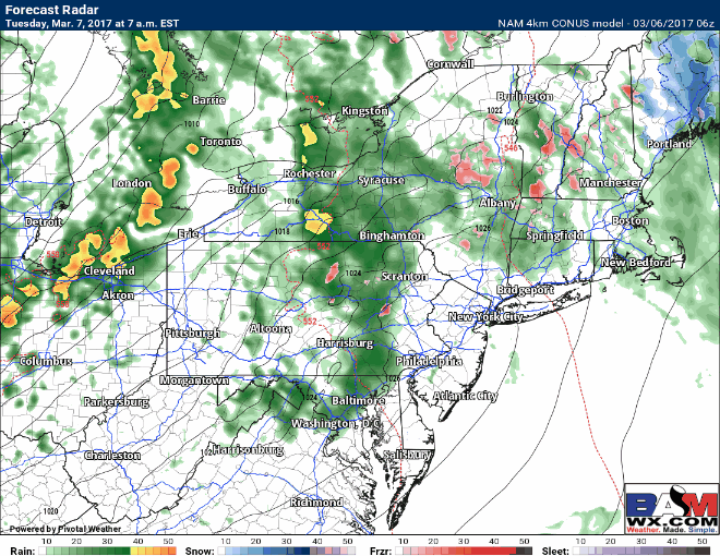
Warmer conditions and showers will prevail tonight into Tuesday ahead of a cold front. This front will move through Ohio and PA during the day with rain and even a rumble of thunder. This will move into New England Tuesday night. Here’s the projected radar Tuesday into Tuesday night timing the front.
Wednesday and Thursday will be quiet, seasonable days ahead of the next weak disturbance for Friday. Guidance remains quite uncertain with the track and strength of this system. I talk about the details in the video below!
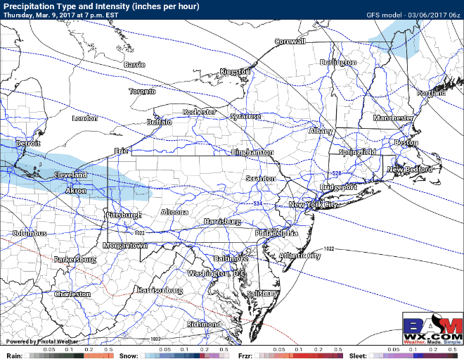
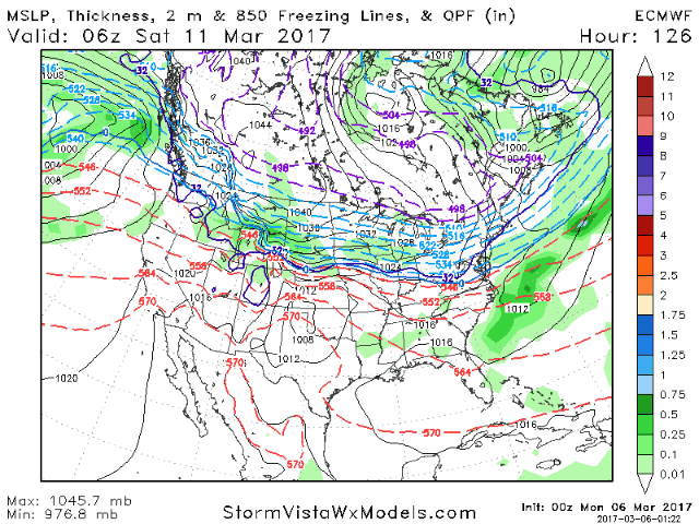
A second disturbance may make a run at the area for Sunday with additional threats for snowfall. Typically when two system this close together come toward the region, one piece of energy is much stronger. Right now, guidance is keying in on the Sunday storm being stronger. Confidence is growing in some precipitation this weekend, but the type and amount remains quite uncertain. The latest European is below and I will discuss in the video below!
Confidence and Risks:
- High confidence in warmer times today and tomorrow with rainfall expected with a cold front through Tuesday night.
- High confidence on colder, dry weather Wednesday and Thursday.
- Low confidence on storm track and intensity Friday and Sunday…stay tuned!
The video analysis below covers it all. Have a great day. ~Ed