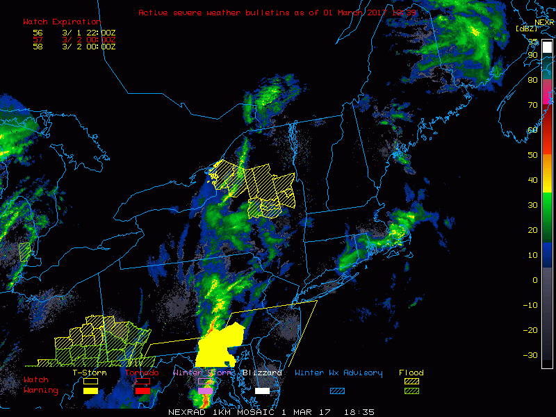
Good afternoon. As discussed in previous updates, clouds and drizzle have limited the severe threat across much of southern New England and NYC. This even extends into NE PA as well. The latest radar overlaid with watches and warnings shows this well. Yellow shaded boxes are the warnings…note there really aren’t any across the viewing area.
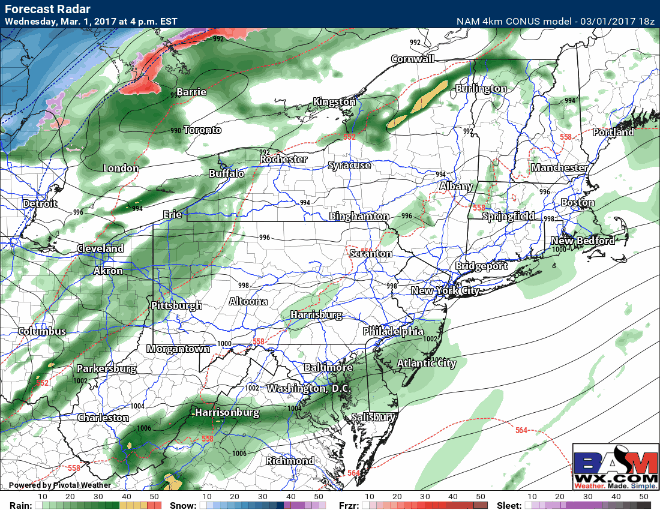
Additional showers and thunderstorms are possible (below severe limits) through the evening as a cold front pushes through. Some may even see some snow showers by tomorrow morning across PA.
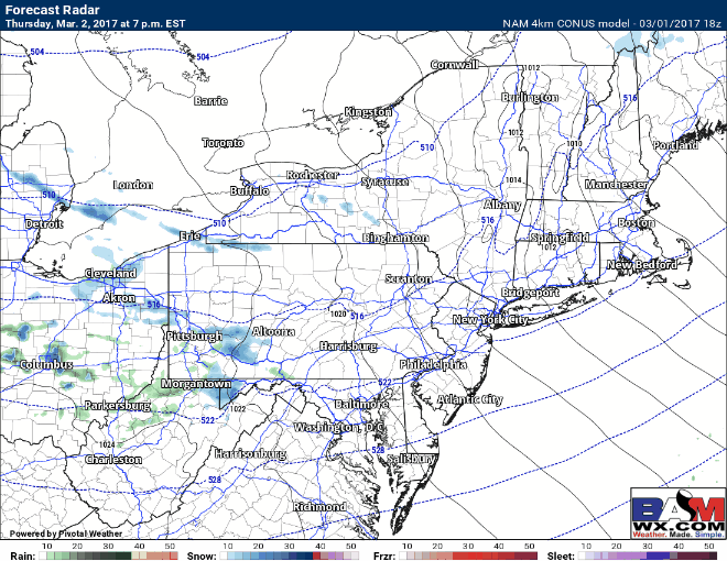
The next weather maker come Thursday night into Friday from west to east with some light snow showers, mainly across Ohio and PA. This will be a weak disturbance with little accumulation expected outside higher elevations. Here is the 4 KM NAM’s interpretation of the radar Thursday night into Friday. Even with temps above freezing, some bursts of mainly non accumulating snow are possible across the region Friday as cold air bleeds in.
I’ll have another update out in the morning. Have a wonderful evening! ~Ed