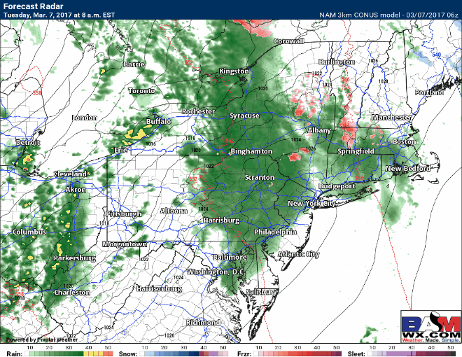
Good morning! We are tracking clouds and showers this morning as an area of low pressure and a cold front moves toward the region. A few places in western MA and northwestern CT are close to 32 so some localized icy spots are possible. Here’s the radar as of 5:50 AM.

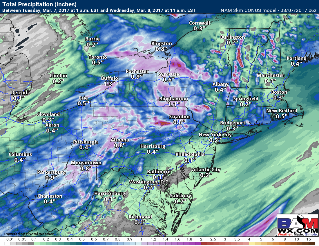
This front will move through the day today with some showers and even a rumble of thunder. Here’s the projected radar through day into this evening.
Rainfall will be most significant across Ohio and PA, tapering the farther east you travel.
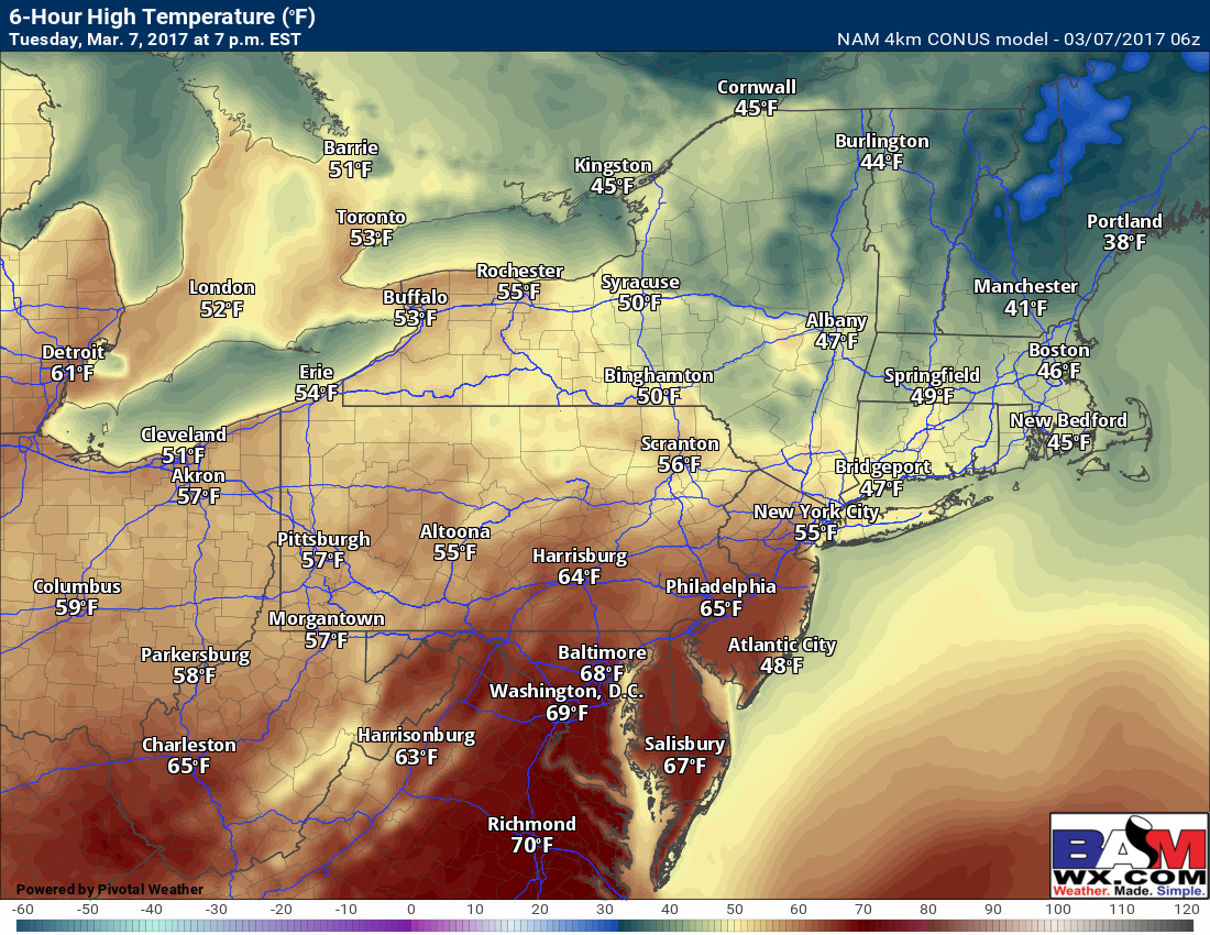
Colder temperatures will follow for Wednesday, but they will still be 5-10°F above normal.
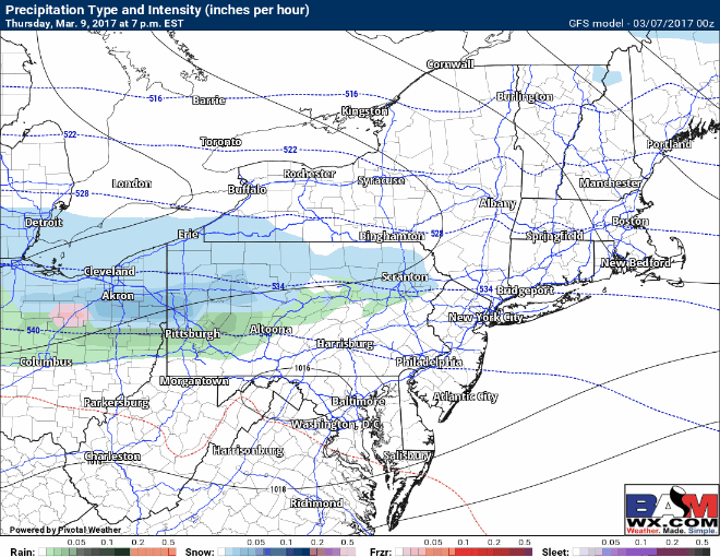
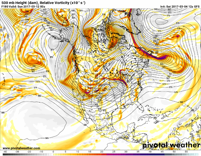
The next feature will move into the region Thursday night into Friday in the form of a fast moving cold front. This has the potential to bring a band of snow through much of the region, but will be dependent on the track of the upper level energy. Here’s the latest GFS ensemble energy track.
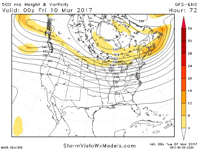
This looks to be fast moving and the track the energy takes remains uncertain. As of now, I think this system is low impact based on the data I have, but will continue to monitor and update with latest data this afternoon. For now, here is the latest GFS surface map for Friday.
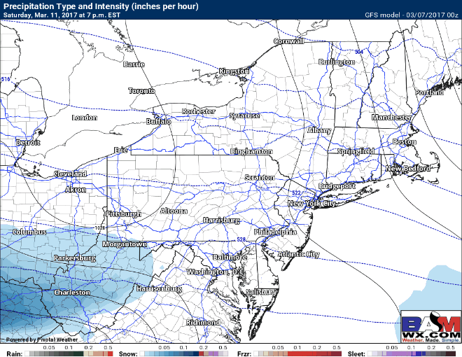
The next forecast comes Sunday as another piece of energy dives in behind the front. What will be important is where the Friday storm goes to set up the pattern for Sunday. The last few days have trended much further south with the upper low in Southeastern Canada trending the entire system south!
Latest guidance keeps the system south of the region now Sunday, but given the complex pattern above, this system is not done moving around so stay tuned! Latest GFS forecast shows the southern track nicely.
Confidence and Risks:
- High confidence in warmer times today with rainfall expected with a cold front through Tuesday night.
- High confidence on colder, dry weather Wednesday and Thursday.
- Moderate confidence on the Friday event. This looks like a low impact event overall.
- Low confidence on storm track and intensity Sunday. While things are south now, they could still trend in either direction…stay tuned!
The video analysis below covers it all. Have a great day. ~Ed