Key Points: September 13, 2017
Synopsis: Good Wednesday morning! We are watching for a much more active period developing across the region this week into the weekend. This will start this afternoon across the western Dakotas, spreading eastward tonight into tomorrow. A stronger wave will push through tomorrow night into Friday with widespread heavy rains across the Dakotas and Minnesota. Some folks will likely end up with 1-3″ of rainfall from this system. Behind it, cooler conditions return into early next week before rebounding ahead of yet another cold front toward the middle of next week. Have a wonderful day!
Today’s Video (5 min):
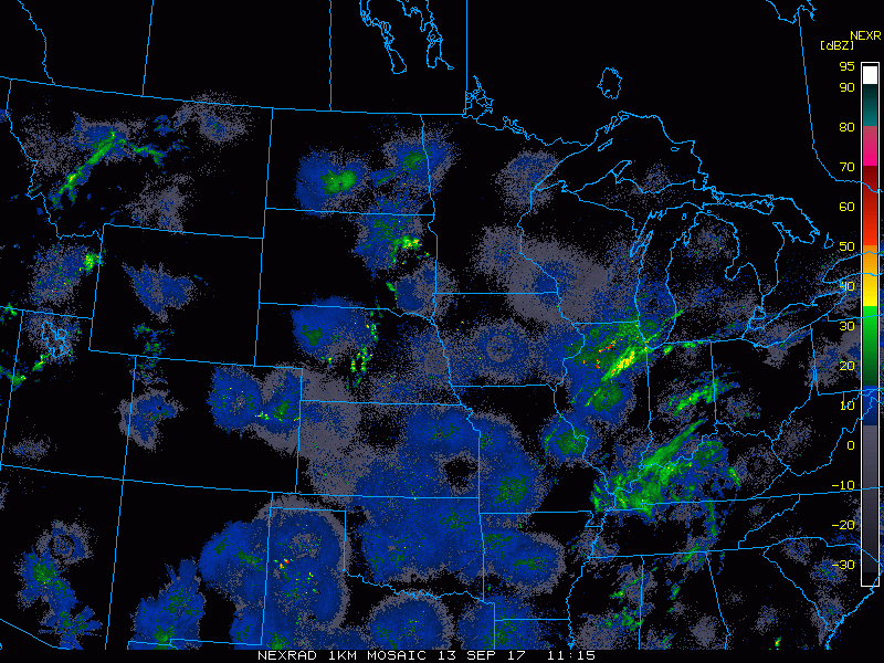
Radar shows a few showers in SD, otherwise another clear morning across the region.
A disturbance will bring some showers and storms in the Dakotas this afternoon and tonight.
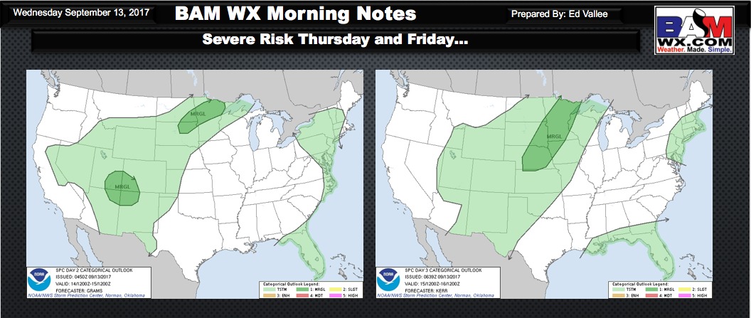
A severe threat will arise tomorrow and Friday ahead of a cold front. More details on this in the video!
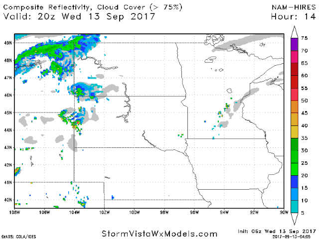
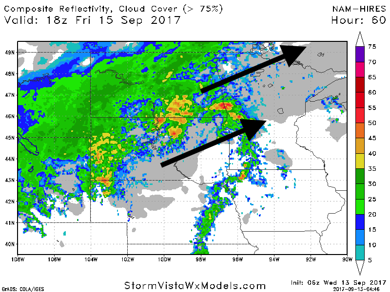
Heavier rains move in by Friday. Here’s the projected radar Friday around noon.
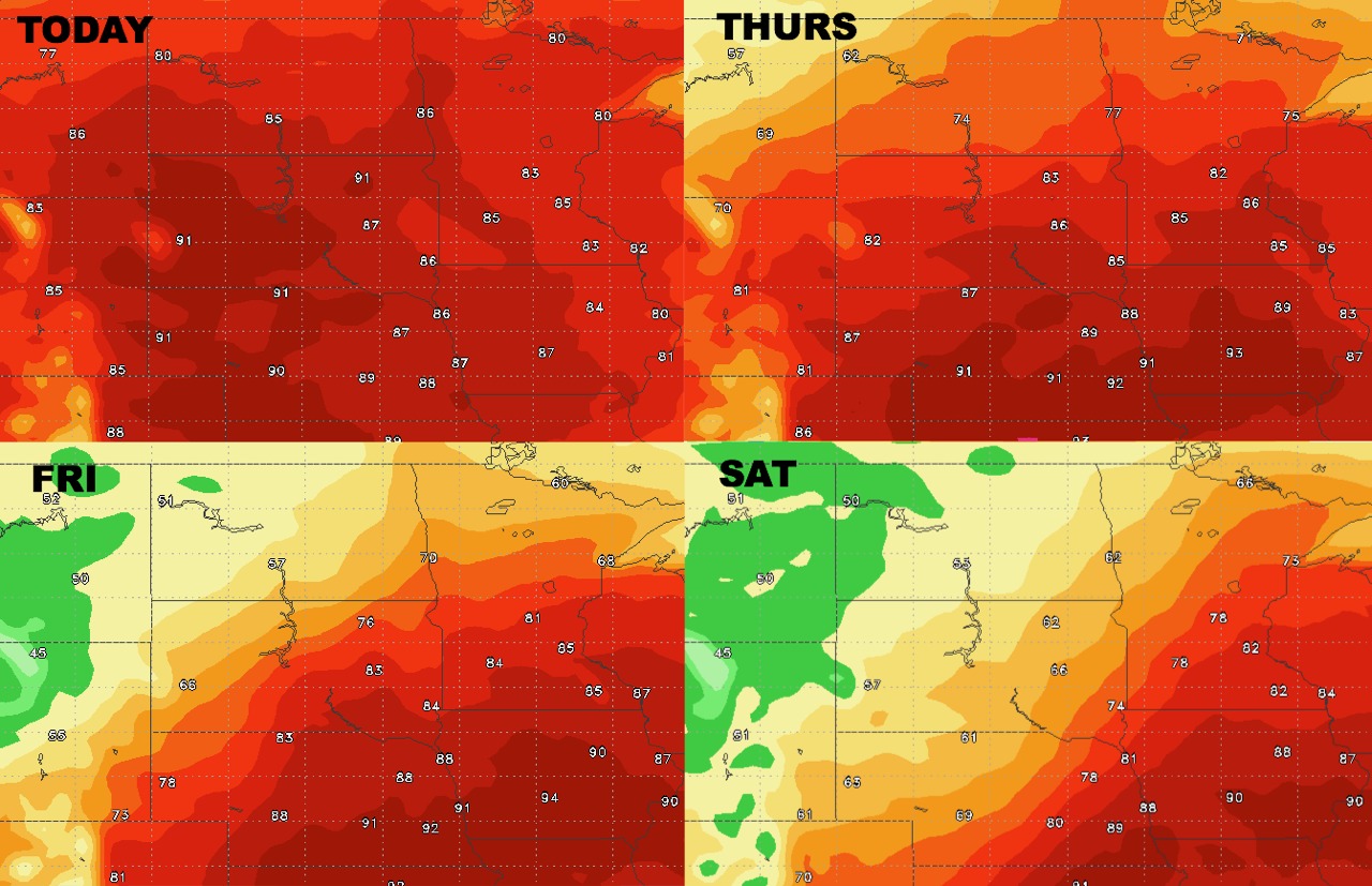
High temperatures over the next 4 days show the front moving through.
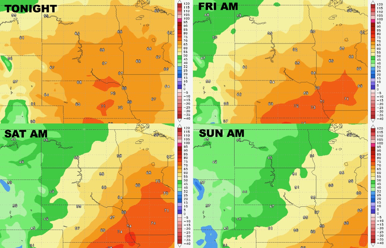
Low temperatures react similarly.
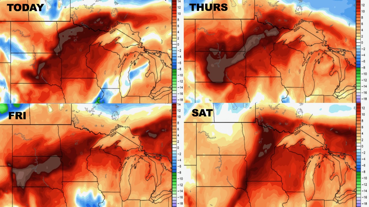
Humidity will remain high into the weekend thanks to the rain nearby.
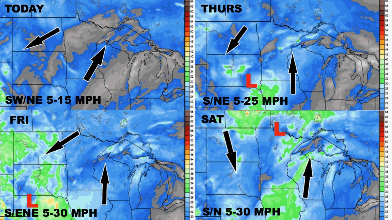
Wind forecast over the next 4 days.
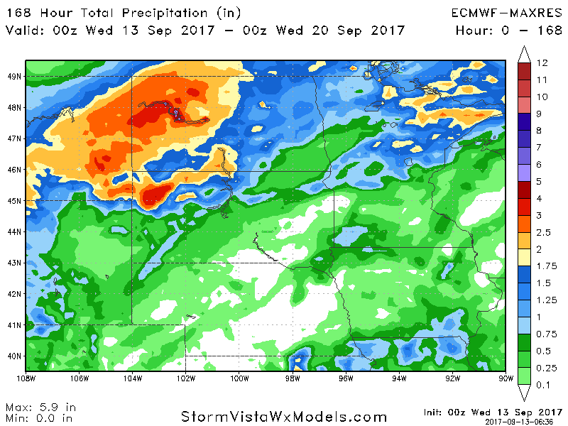
Rainfall over the next 7 days looks heavy, especially north and west.