Northern Plains Update: Unsettled to End The Week, Chilly Regime Continues. E.
Key Points: August 23, 2017
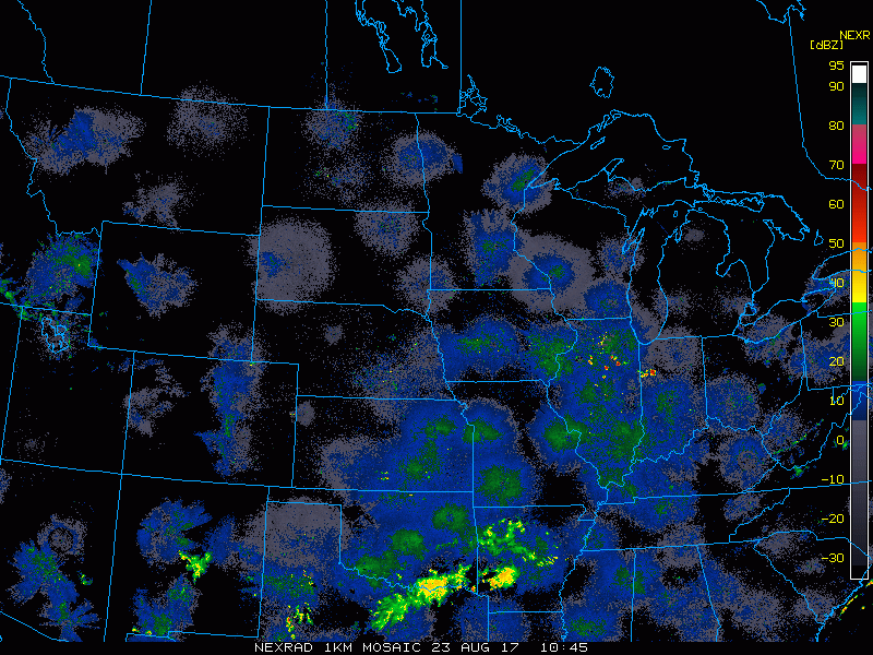
Synopsis: Good Wednesday morning! Radar is scanning clear this morning as high pressure continues to control our weather pattern. High pressure will slowly move east into the Great Lakes by tomorrow, introducing more opportunities for rain and thunderstorms as early as this evening in Minnesota, then during the afternoon and evening tomorrow across the Dakotas. A more widespread shower and storm event is expected Friday afternoon west into Saturday east. Also of note, cooler than normal conditions are expected across the region into much of next week. Have a blessed day.
Today’s Video (5 min):
Radar scanning clear this morning:
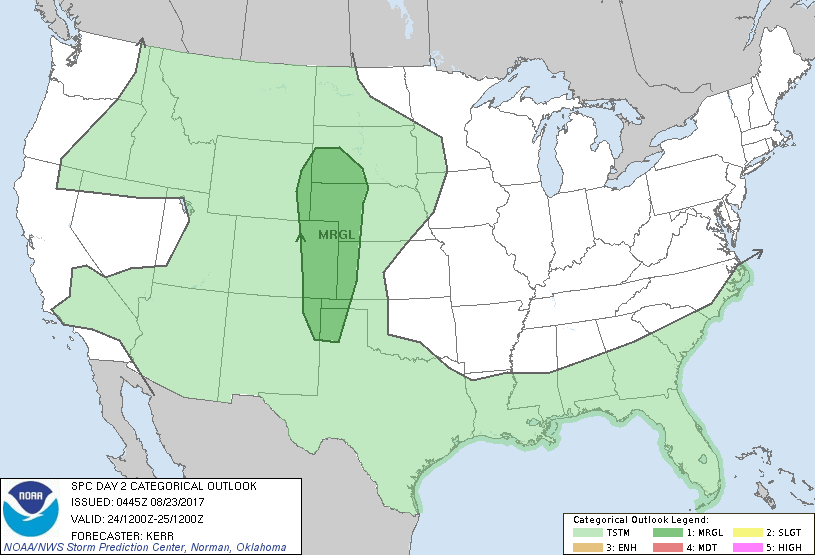
The next chance for any severe weather comes tomorrow across the western Dakotas.
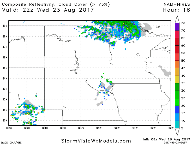
Projected radar shows rain chances east this evening, then across the Dakotas tomorrow and Friday.
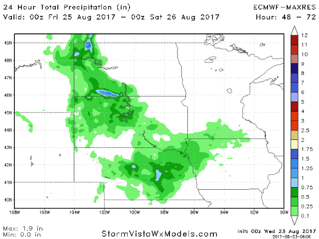
A more widespread rainfall threat comes Friday into Saturday.
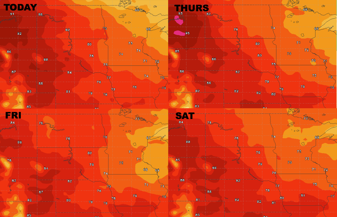
High temperatures next 4 days.
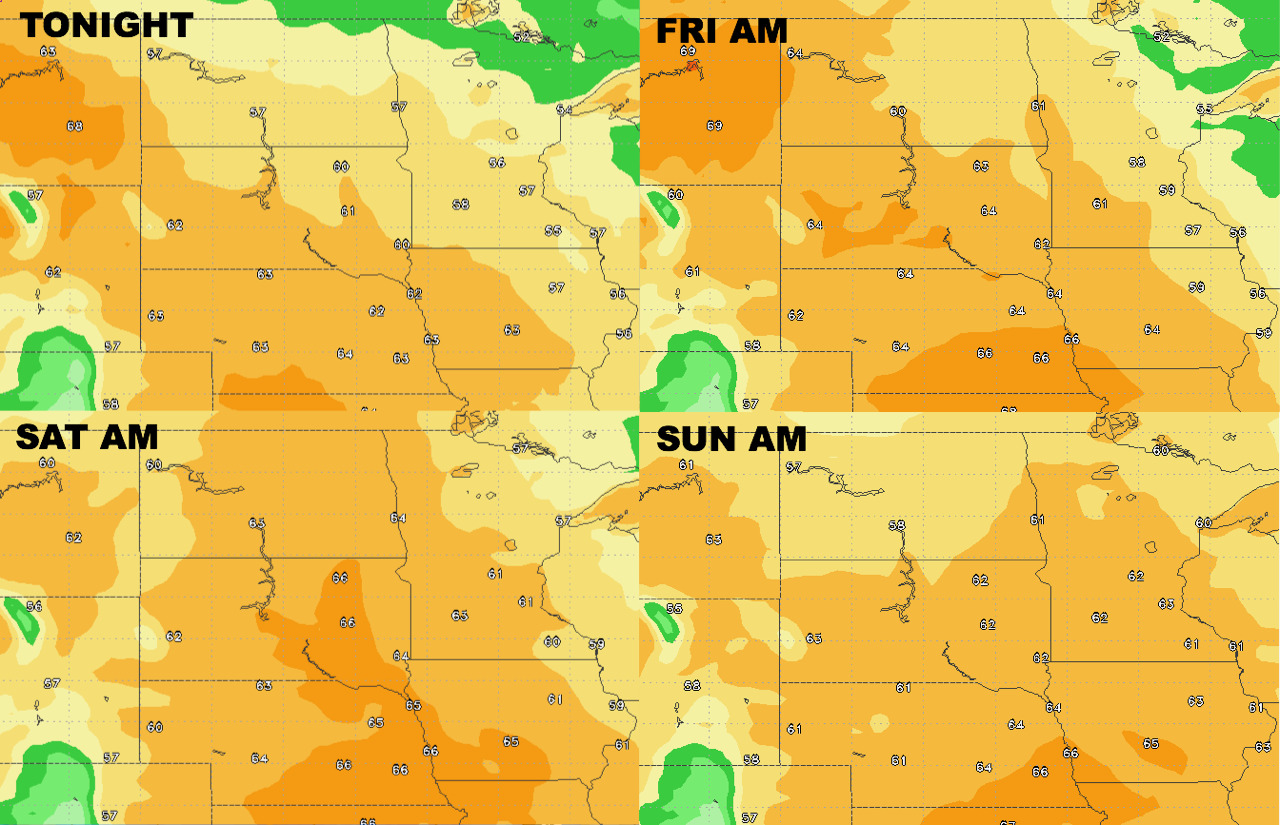
Low temperatures next 4 days.
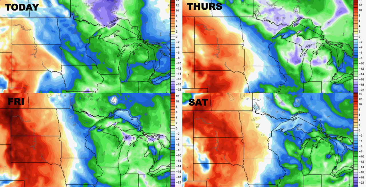
Humidity stays higher west over the next 4 days – dew point anomalies are shown below.
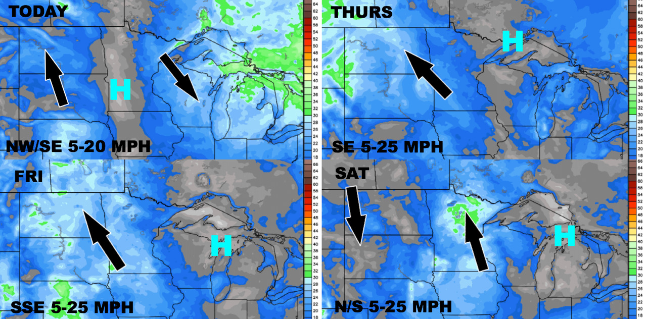
Wind forecast over the next 4 days.
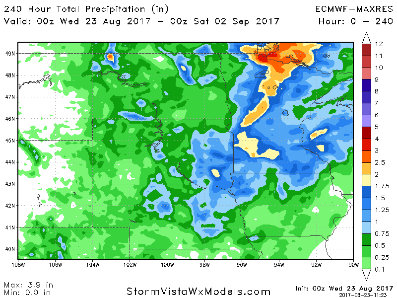
Total rainfall next 10 days.