Northern Plains Update: Turning Much Wetter This Week! E.
Key Points: September 11, 2017
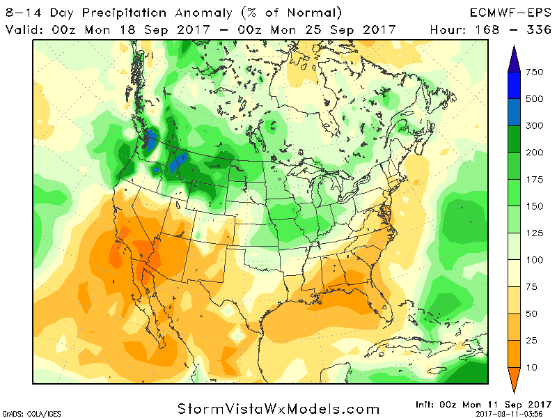
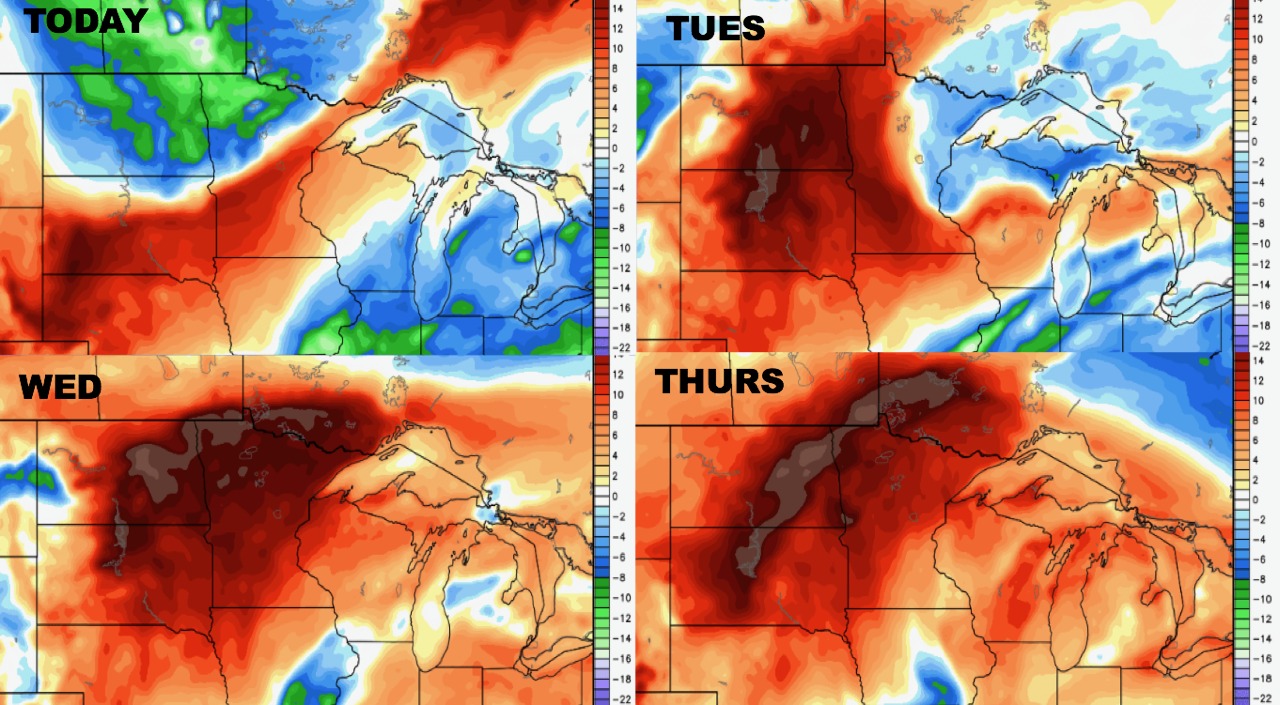
Synopsis: Good Monday morning! High pressure will control our weather through the beginning of this week as temperatures continue to warm well above normal across the zone. A strong cold front will introduce rainfall chances late Wednesday through the weekend along with much cooler conditions for mid-September. This regime will persist into week 2 with near normal temperatures and above normal rainfall. Have a blessed day!
Today’s Video (5 min):
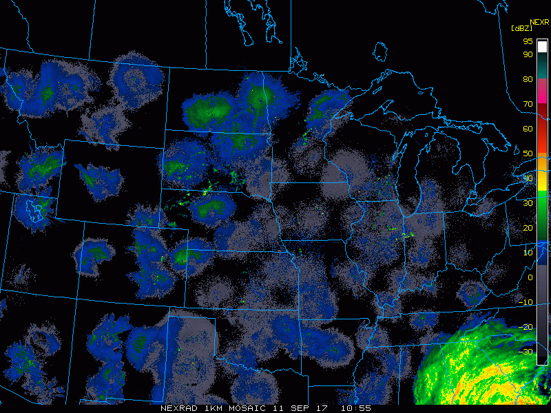
Current radar is scanning clear this morning. Also note Irma moving into the Southeast!
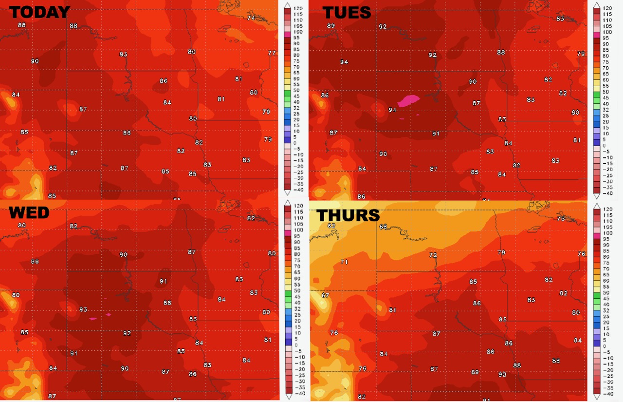
High temperatures over the next 4 days shows the increase in heat ahead of the cold front.
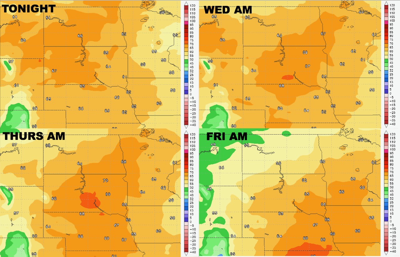
Low temperatures follow a similar pattern through the week.
Humidity will be above normal ahead of the front as well.
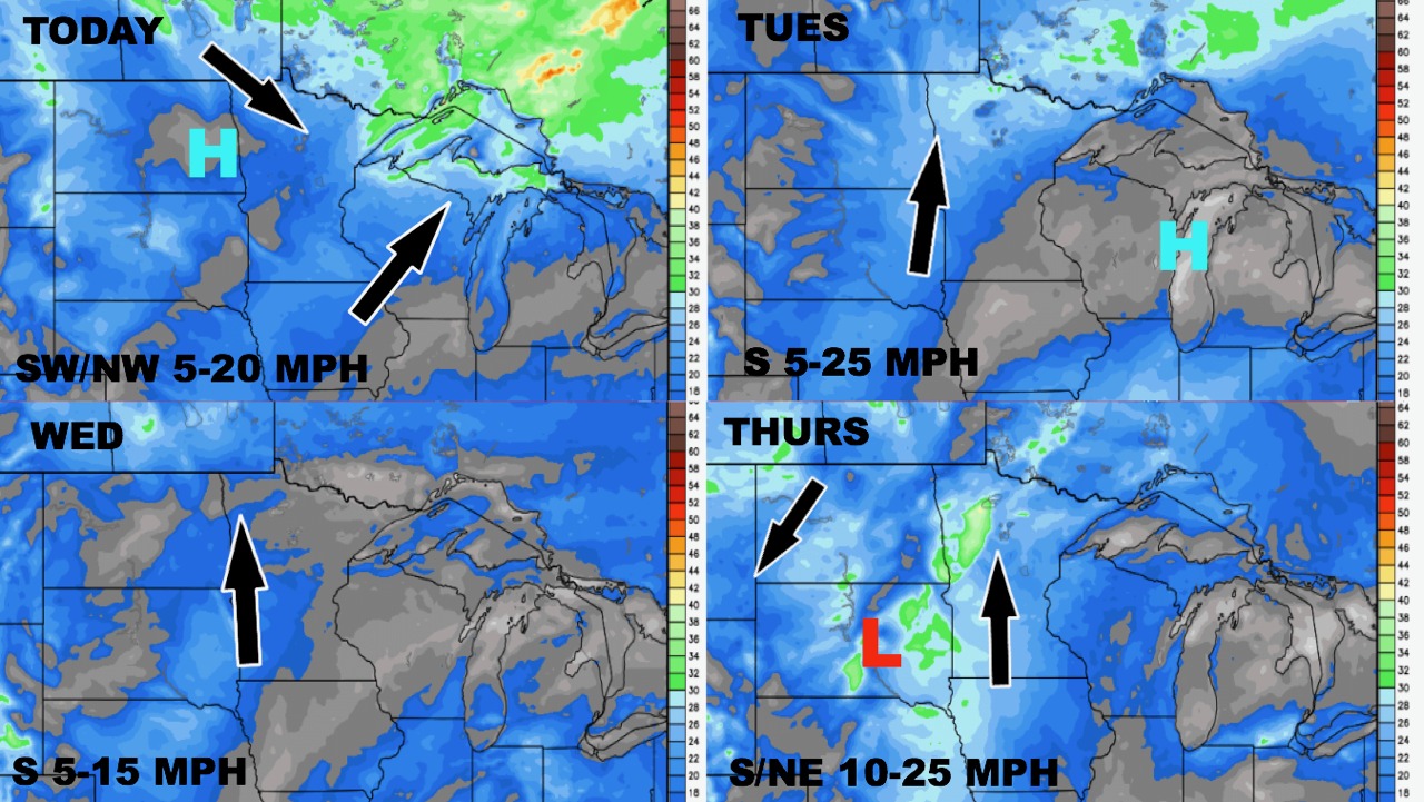
The wind forecast early this week looks light, but as the front approaches later in the week, winds will become more breezy.
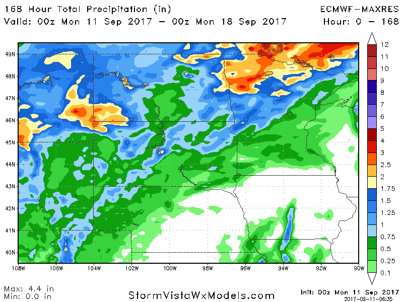
Total rainfall over the next 7 days looks heaviest west.
Week 2 continues to look wet across the region with above normal rainfall expected for most.