Northern Plains Update: Next Rainfall Threat Late Week, Cool Conditions Expected. E.
Key Points: August 22, 2017
Synopsis: Good Tuesday morning! Cooler and drier conditions have settled in across the region behind a cold front. This regime will be short lived as we re-introduce showers and thunderstorms tomorrow across Minnesota and then across the Dakotas Thursday and especially Friday. This threat moves eastward into this weekend with showers and thunderstorms. Cooler than normal conditions look to continue into next week especially across Minnesota and Wisconsin with variable temperatures across the Dakotas. Precipitation in week 2 looks variable with northwest flow. Have a blessed day!
Today’s Video (5 min):
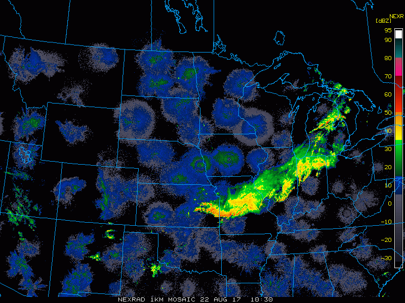
Current radar is scanning clear this morning.
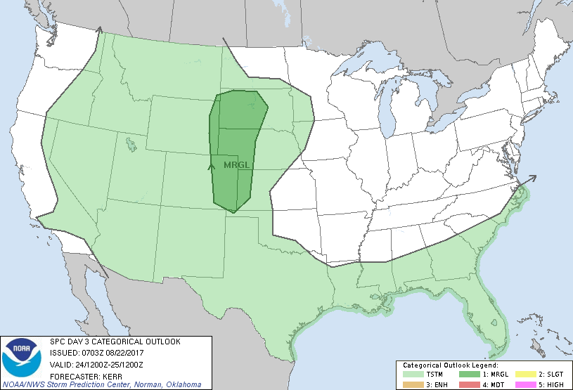
The next threat for any severe weather comes Thursday.
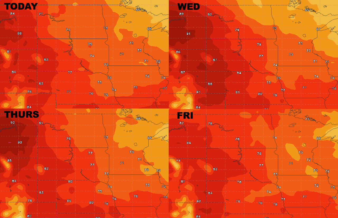
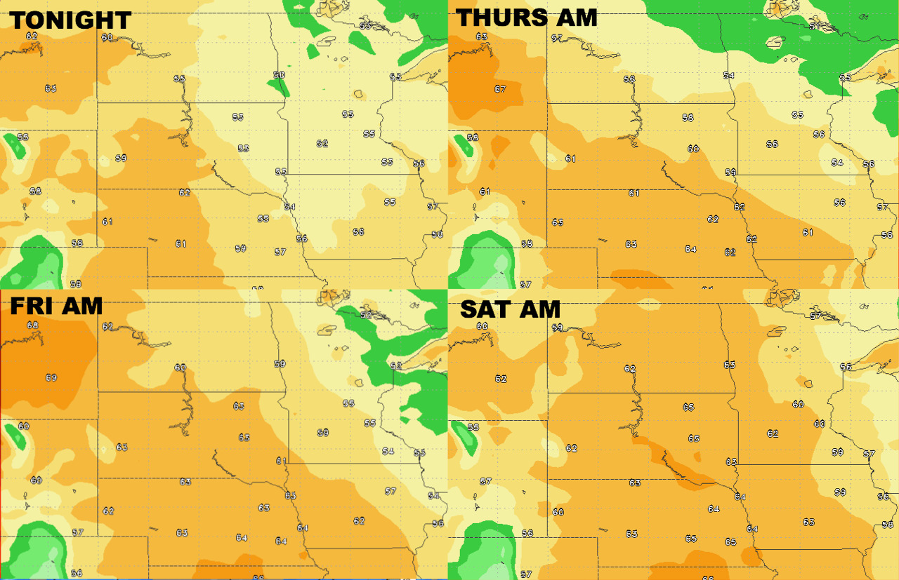
High temperatures next 4 days.
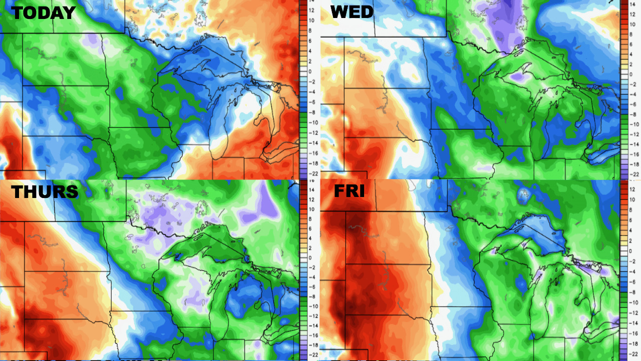
Low temperatures next 4 days.
Humidity remains above normal west, below normal east next 4 days.
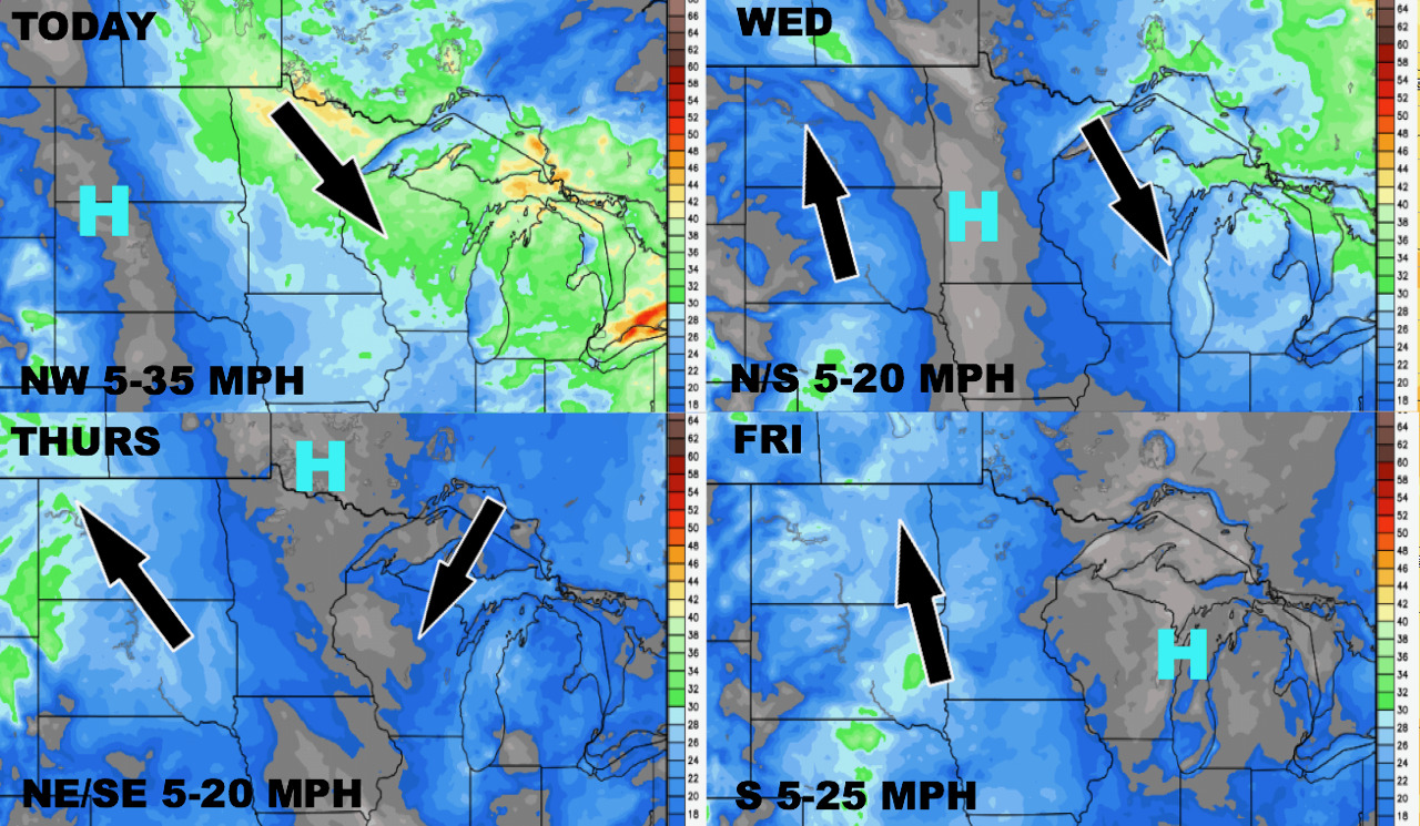
Winds over the next 4 days.
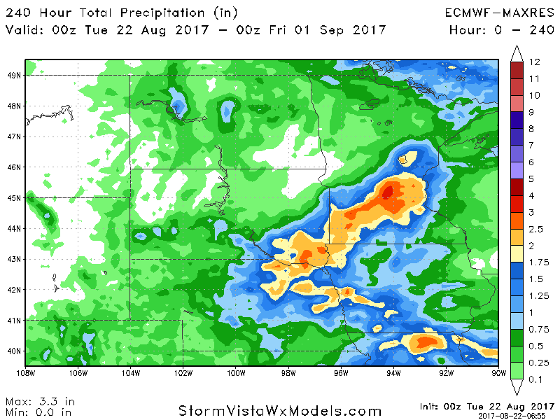
Total precipitation over the next 10 days looks heaviest across Minnesota and Wisconsin.