Northern Plains Update: Discussing the Pattern to End August…Cooler Times Coming? E.
Key Points: August 17, 2017
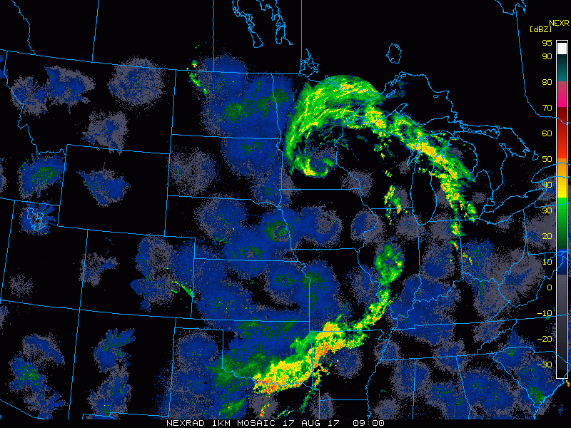
Synopsis: Good Thursday morning! We continue to track a large storm system across Minnesota and Wisconsin while the Dakotas are drying out. As we move through the day, this system pushes east with showers winding down across eastern zone 9, and the Dakotas remaining dry. A disturbance will bring showers and storms to the Dakotas tonight, then will bring a severe risk to far southern Minnesota Friday. Another threat for a cluster of storms is expected Sunday night into Monday along with some cooler risks later next week. Have a blessed day!
Today’s Video (6 min):
Current radar:
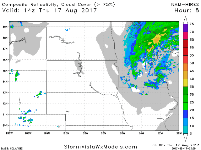
Expected radar through the day on Friday shows rain/storm risks.
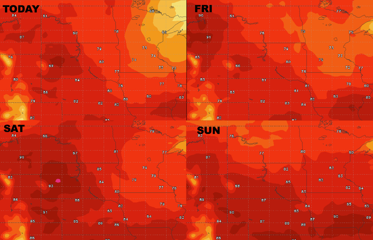
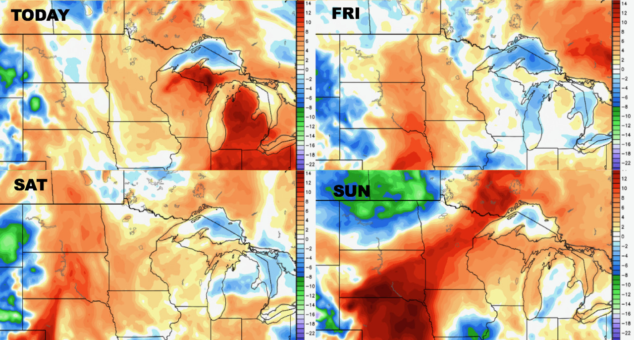
High temperatures next 4 days.
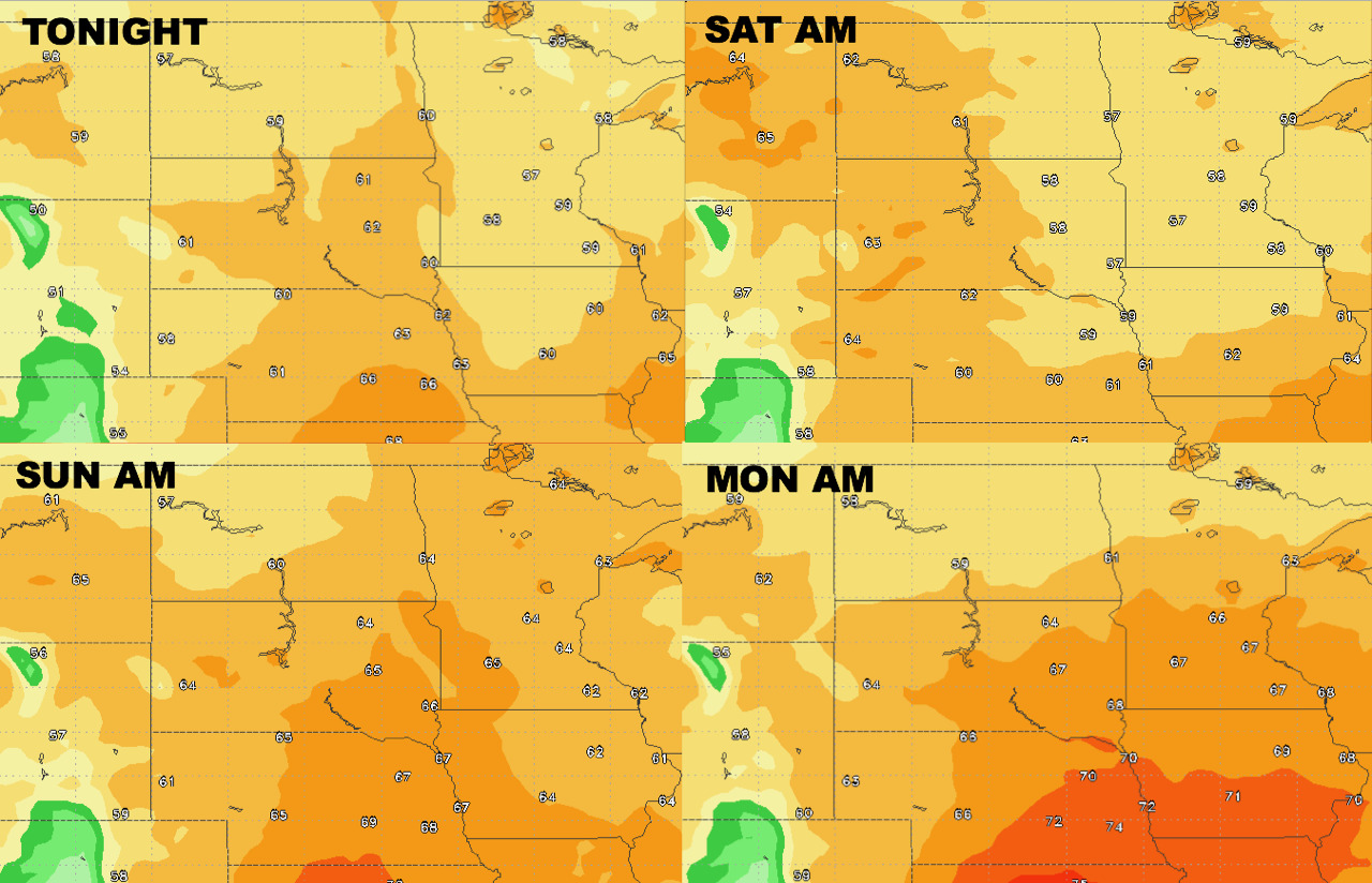
Low temperatures next 4 days.
Humidity looks to stay above normal through the weekend. Dew point anomalies are shown below.
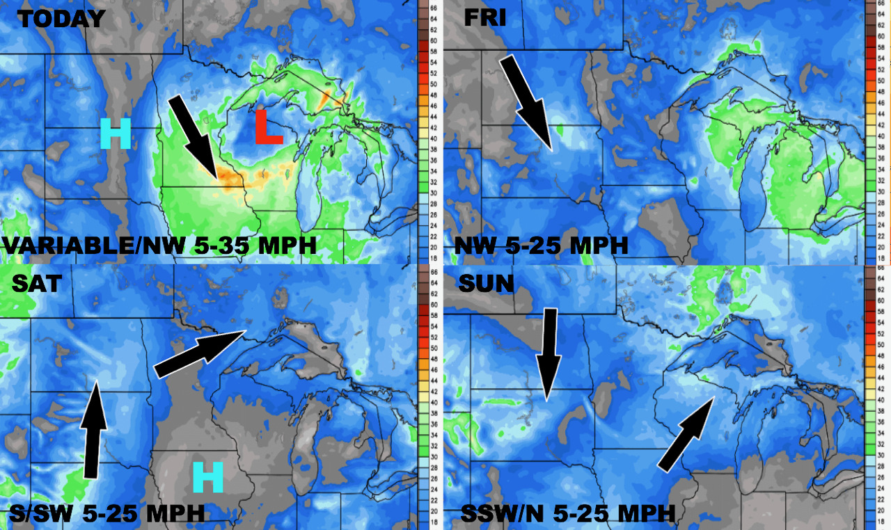
Wind forecast over the next 4 days.
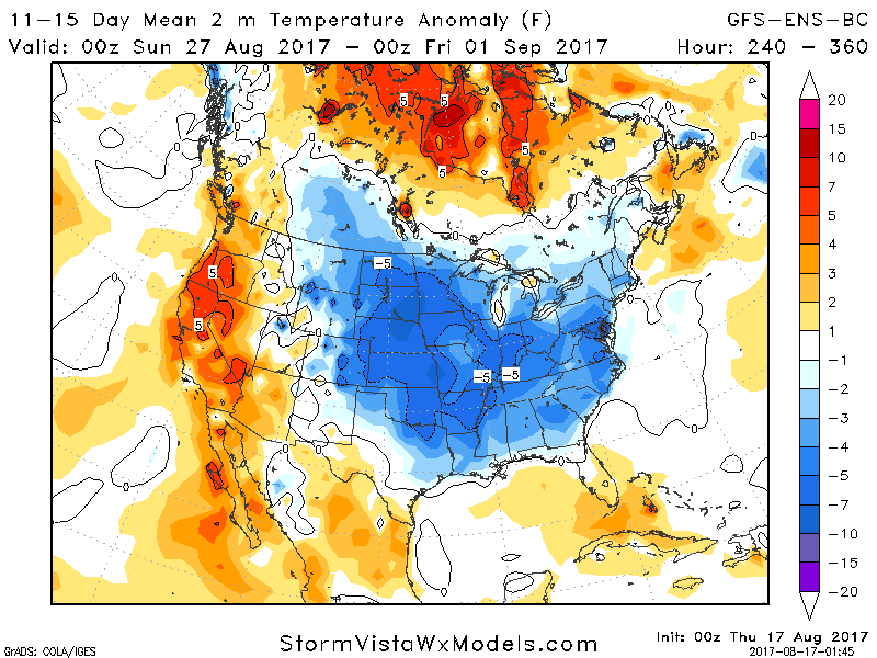
Cool risks return in full force in week 2. The 11-15 day forecast idea is below.
Total 10 day rainfall from the GFS model.
