Key Points – Wednesday, August 16, 2017:
Synopsis: Good Wednesday morning! Main focus will be on the widespread heavy rain potential over the next 24 hours focusing from southeast South Dakota into much of Minnesota. The storm system will slow down with northeast progression, leading to the increased heavy rain and flooding risks. Detailed analysis, including a look at the longer range forecast can be found in the video below. Have a great day, and let us know if you have any questions!
Today’s video (5:34):
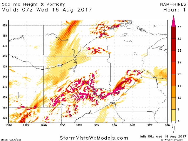
Still some variability in exact placement of heaviest rains, but overall it appears areas across eastern South Dakota up into central Minnesota will be in the swath of heaviest rains. Note both models indicating heaviest totals across central Minnesota as the storm system sits on top of that area later tonight.

Here is an animation of the upper level energy forecast from today through Friday. This storm system will slowly move east of Minnesota into Wisconsin going through the day Thursday, with additional energy moving in late Thursday across the western Dakotas, moving eastward through the day on Friday. This will lead to additional rain/storm chances on a scattered basis.
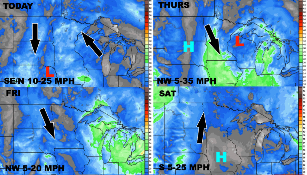
Wind forecast over the next 4 days.
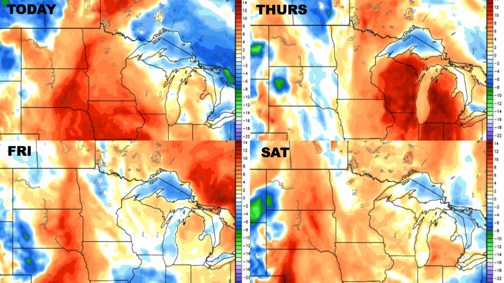
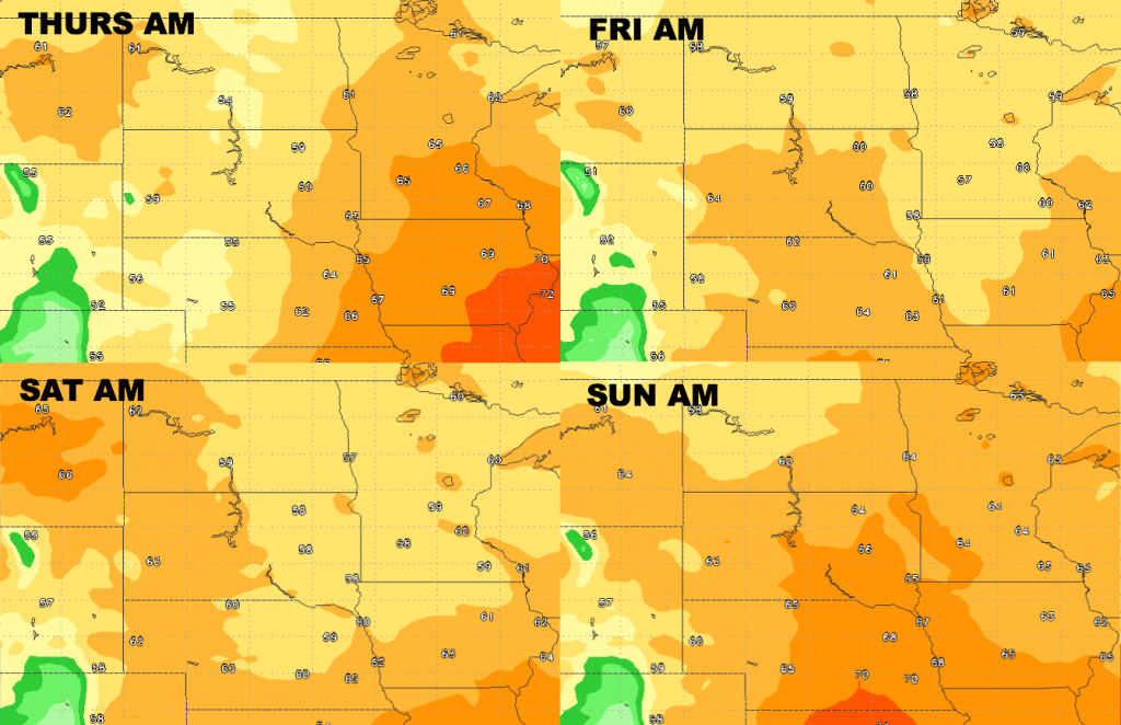
High temperatures over the next 4 days.
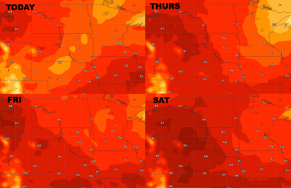
Low temperature guidance over the next 4 days.
Dew points from normal over the next 4 days are shown below. Humid today, then slightly drier air late week, although it stays relatively humid.