Key Points – Friday, June 2, 2017:
Synopsis: Good Friday morning! Today we discuss the scattered storm threat today across the eastern Zone 8 locations and the cold front that moves west to east Saturday into Sunday that will bring scattered storms, some potentially being heavy (not everyone gets in on these, many stay sunny and dry). High pressure works its way in early next week before a return of scattered storms more into the mid-week timeframe. Overall, we are warmer than normal through the next 2 weeks as well, all the details in the video. Have a blessed weekend!
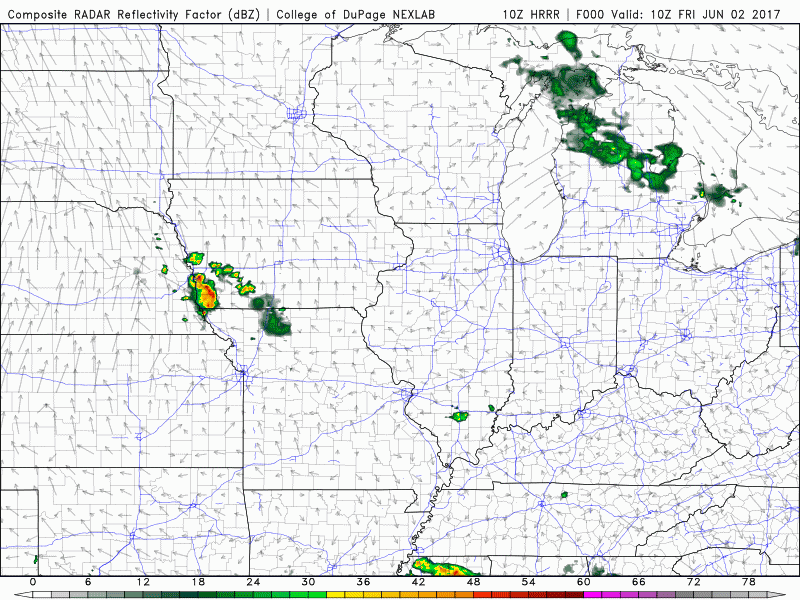
Current Radar:
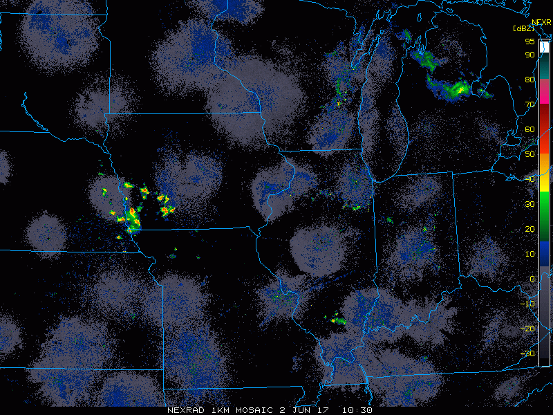
Simulated radar through today…latest data weakens the cluster pushing east across Iowa this morning, and then keeps an isolated storm threat across Iowa and Missouri throughout the remainder of the day as we warm up…Nebraska and Kansas stay drier here with sunshine.
Cold front swings west to east on Saturday…these storms will be largely scattered in nature ~40%, very hit and miss in nature with the heating of the day…main focus will be across Nebraska and Kansas. Moving into Sunday the scattered storm threat moves into eastern Kansas, Iowa and Missouri ~30% coverage.
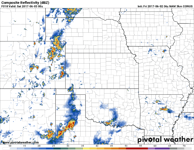
Locations that do get under a storm we can’t rule out 1-2″(isolated higher amounts possible), but we have to reiterate these will be very hit or miss, a lot of locations do stay dry through the weekend. The main focus will be across southwest Nebraska and western/southern Kansas for these rains.
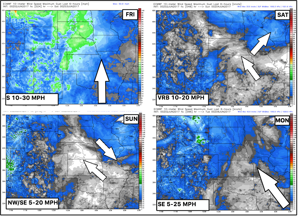
Wind forecast through early next week:
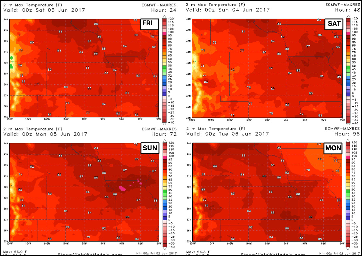
Temperatures through early next week as well are warm with overall 80s expected…can’t rule out a few spots touching 90º as well on Sunday across Missouri and southern Iowa.
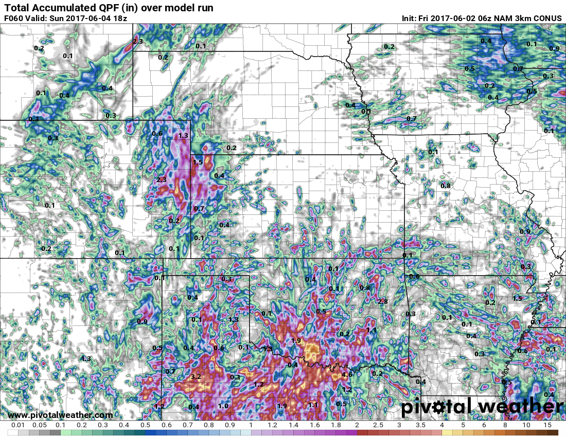
Precipitation from normal forecast over the next week:

Week 1 temperatures from normal are pretty warm overall across the central Plains…we spend a lot of time in the 80s.

Confidence:
- Average confidence of scattered storms across Iowa and Missouri today…Nebraska and Kansas stay drier and sunny.
- Average confidence of scattered storms across the central Plains on Saturday and Sunday as a disturbance moves through…it needs to be noted some locations will not see any rain at all and remains dry/sunny.
- Average confidence that locations that do get in on storm could see 1-2″ with isolated higher amounts may be possible.
- Above average confidence we are warmer than normal through the next week with spending much of our time in the 80s.
Today’s video (7 min):