Key Points – Friday, July 7, 2017:
Synopsis: Good Friday morning! Today we discuss the scattered strong storms possible today into tomorrow as well as the above normal warmth that moves in this weekend into early next week. If you have questions please let us know, have a blessed weekend!
Current Radar:
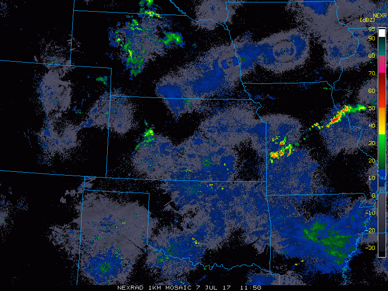
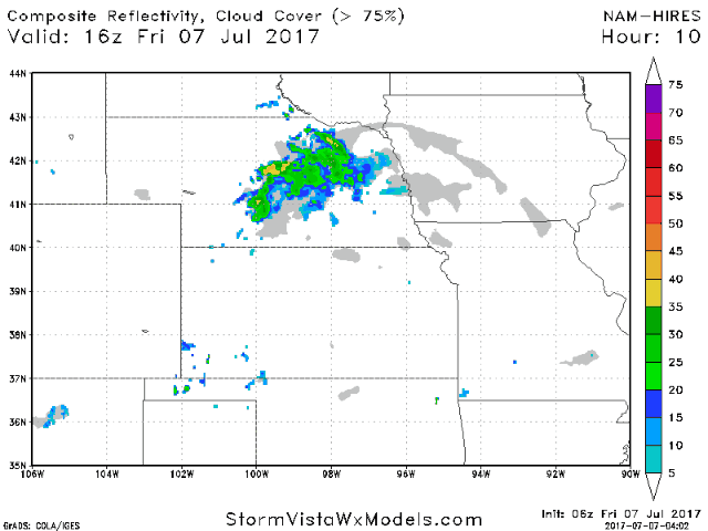
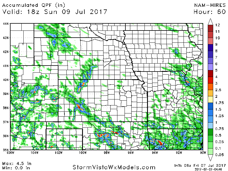
Simulated radar guidance through today shows the cluster of showers/storms pushing southeast across Nebraska/western Iowa today, need to watch for a reamplification of storms across parts of Kansas and Missouri later this afternoon into Saturday morning as well along a boundary…some may strong to severe.
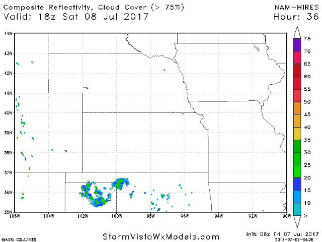
It’s again tomorrow afternoon into the evening we are watching for additional storm development to the west, some of these may strong to severe. Also, can’t rule out a few scattered storms across the eastern half of Iowa to northeastern Missouri.
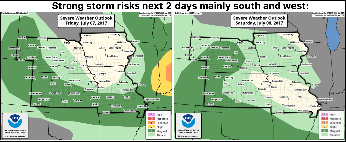
Strong storm risks next 2 days:
Thoughts on total rainfall will all be storm dependent, if you get under a storm, certainly 1-2″ on the table, with isolated higher amounts. Although we do need to note, many stay dry in this timeframe here as well.
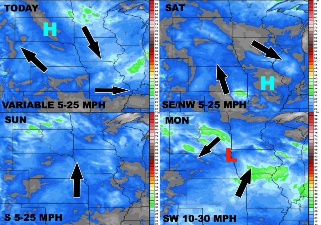
Wind forecast through Monday:
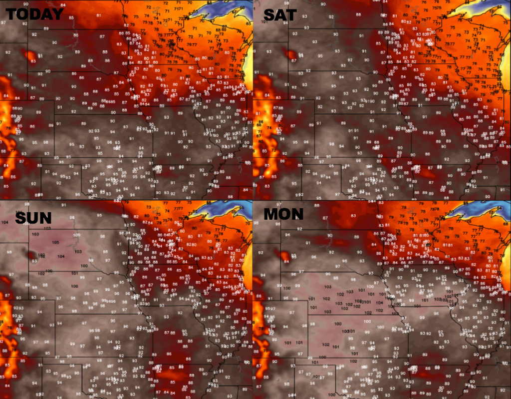
Here is a look at temperatures over the next 4 days. Parts of Iowa will catch some cooler air today and Saturday, but the heat will continue to build this weekend with very hot temperatures into next week.
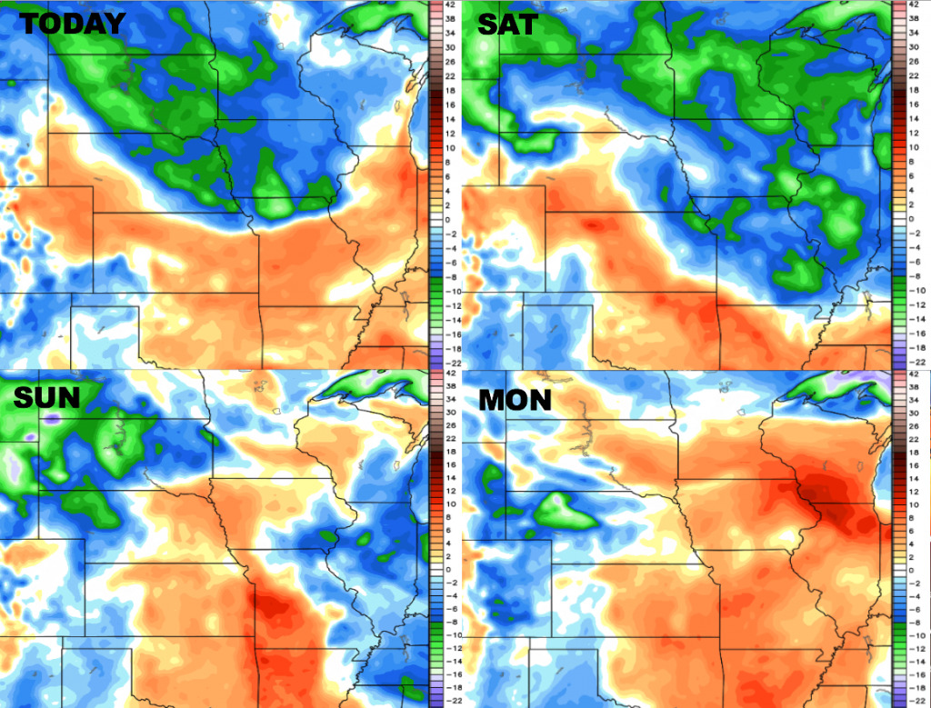
Here is a look at dewpoint anomalies over the next 4 days. Drier air will build in across the northern/eastern half of the region today into the first half of the weekend, then higher humidity will build in area-wide Sunday and Monday.
Rainfall from normal guidance says a lot about this pattern where we feel the majority of rains through mid-month are focused across eastern Zone locations…areas to the west, unfortunately, stay drier than normal. Now, this doesn’t mean zero rain, but rainfall that is below normal. If you have questions on this, please let us know.

Confidence:
- Average confidence of scattered storms across parts of the central Plains into Saturday, some of these may strong to severe at times.
- Average confidence again of additional storms mainly west on Saturday evening.
- Overall increasing confidence the main flow of precipitation will be focused across the eastern parts of the Zone getting into mid-July.
- Above average confidence we stay very warm late weekend into early next week.
Video (8 min):