Key Points – Thursday, June 8, 2017:
Synopsis: Good Thursday morning! Today we discuss the isolated strong storm threat later today into tonight across parts of the western and northern zone locations, as well as the very warm and windy weekend ahead. The pattern looks to become more active mid to late next week, everything is discussed in the video. Have a blessed day!
Current Radar:
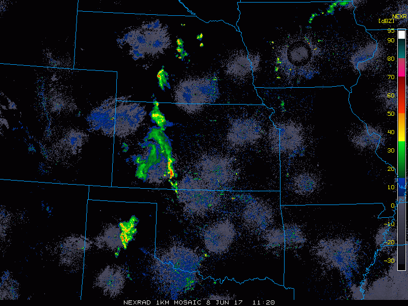
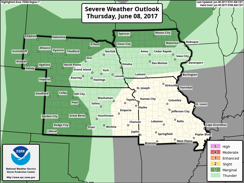
There is a scattered strong storm risk today across parts of Nebraska, Kansas and northern Iowa for gusty winds and isolated large hail.
These will be very isolated in nature later today into tonight across parts of western Nebraska, western Kansas and northern Iowa…coverage likely ~30%. Most areas stay dry and warm into Friday.
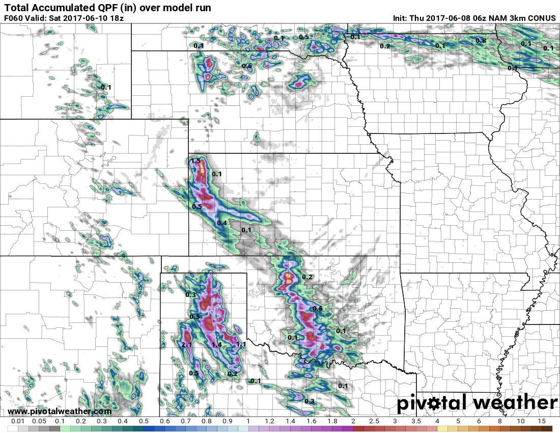
Total rainfall…most stay sunny and dry, those that do get under a storm could see up to 1.o-1.5″ especially if the storm is strong to severe.
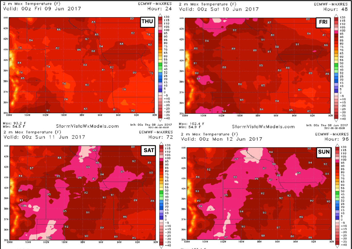
Very warm into this weekend…here’s a look at high temperatures expected over the next 4 days:
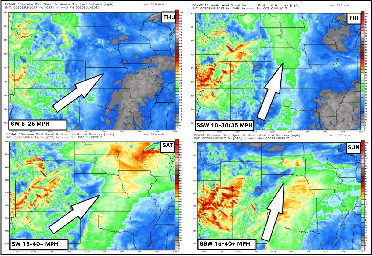
Here’s also the wind forecast through the weekend…definitely will be windy Saturday into Sunday with gusts out of the southwest over 40mph possible.
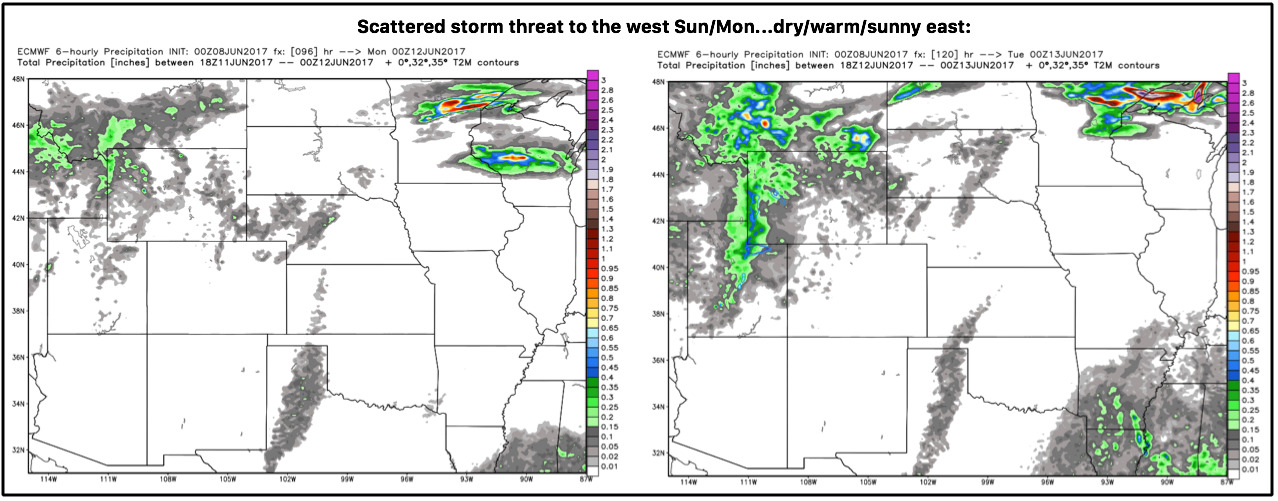
We stay warm and largely dry through the weekend into early next week, a few isolated/scattered storm chances on Sunday and Monday wester across parts of Nebraska and Kansas ~30%…most stay sunny, dry and warm.
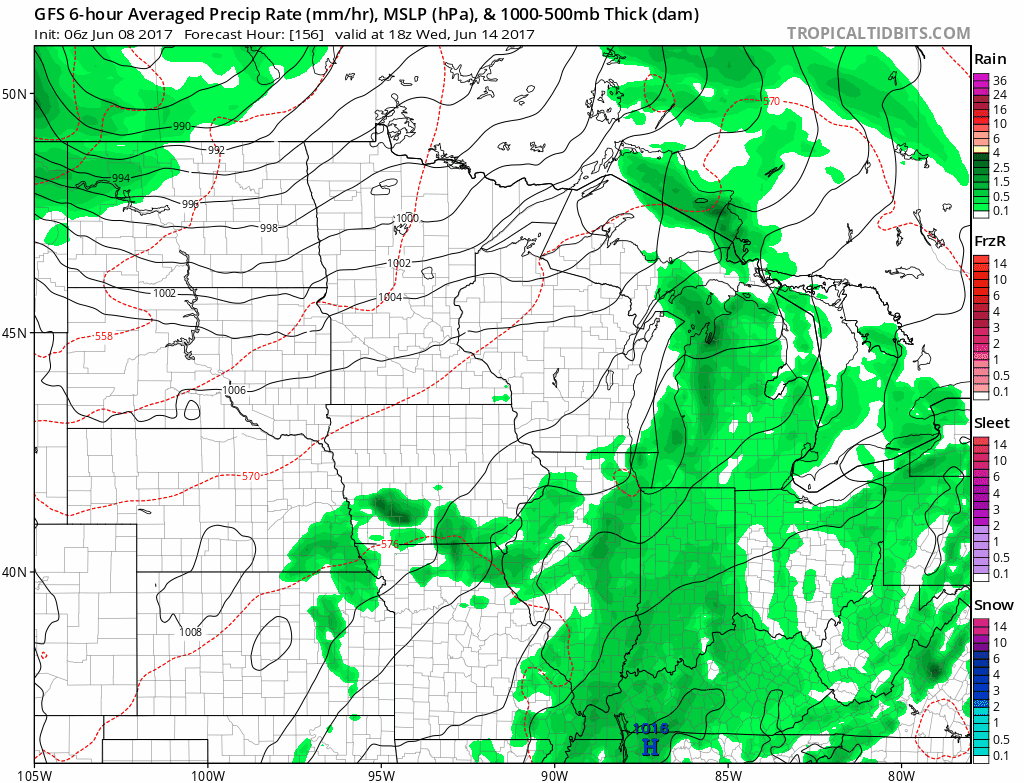
We also discuss the increase in rain chances mid to late next week into the weekend as the pattern starts to become more active. In the video we time everything out and discuss our thoughts on rainfall totals as well. We do continue to think it’ll be the haves and the have-nots, not everyone gets in on the heavier rains here. We need to watch how this timeframe unfolds, stay tuned for more updates on these rain chances.
Confidence:
- Average confidence of isolated strong storms across parts of Nebraska, Kansas and Iowa today into tonight.
- High confidence it’ll be a warmer than normal weekend across the Zone, with wind gusts surprising 40mph possible.
- Increasing confidence the more active pattern picks up mid to late next week increasing rainfall chances.
Video (8 min):