Key Points – Thursday, March 23, 2017:
Synopsis: Good Thursday morning and thanks for checking our first forecast update for Zone 8! We are incredibly excited to expand our services west, if you have any recommendations we encourage you to please send them our way! A warm front will lift north today that will be responsible for showers and potential severe thunderstorms across western Nebraska/Kansas. Friday into Saturday will feature additional showers and storms and heavier rains as well then turning drier by the second half of the weekend. The theme as we head into next week across the Zone will be warm and very wet.
Showers and thunderstorms continue to lift north of a warm front today especially across Iowa and Missouri…we are watching for potential strong to severe storms across western Kansas and Nebraska later tonight as well in the form of discrete cells to clusters. We time things out in the video.
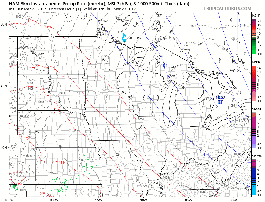
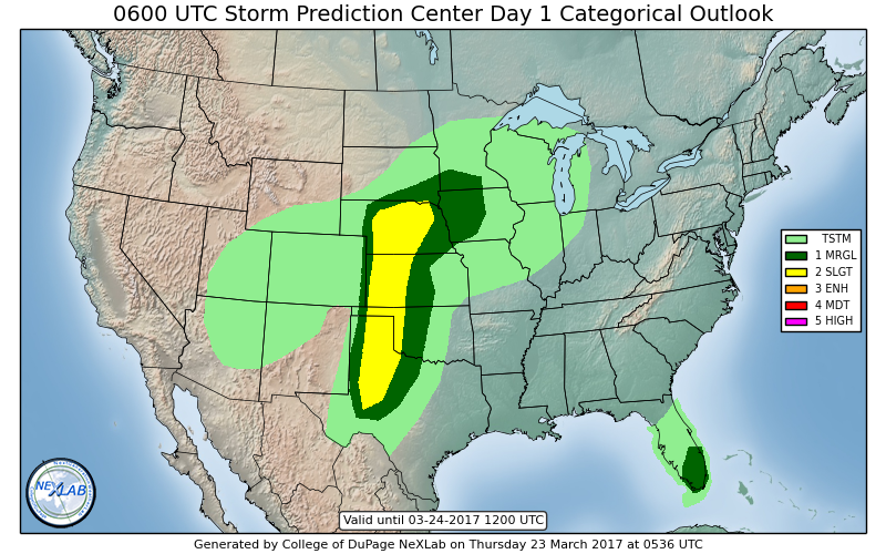
Today’s severe risk area where the main threats will be are across Nebraska into western Kansas for some large hail and damaging winds…we cannot rule out the possibility for tornadoes as well especially where any discrete supercells may form.
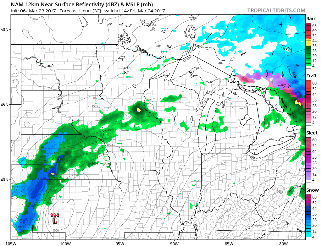
Additional showers and storms move east along with the low pressure across eastern Nebraska/Kansas Friday into Iowa and Missouri more into later Friday and Saturday. Can’t rule out a little wintry precipitation mixing in across the western half of Nebraska on Friday as well with colder temperatures on the backside of the low pressure.
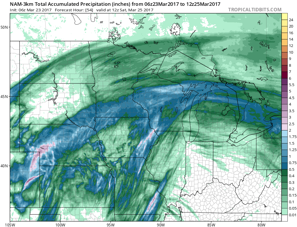
Total rainfall over the next 60 hours…there are some voids where not everyone gets in on the rainfall, but the forecast is to see scattered totals of 1-2″+ especially under those heavier showers.
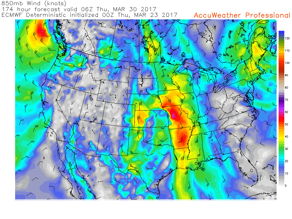
Our next chance for stronger storms, as mentioned in the video, look possible ~next Wednesday into Thursday as our low-level jet stream begins to pump up once again (850mb winds ~5,000ft above the surface)…this is where we generally look for the best area of storm activity.
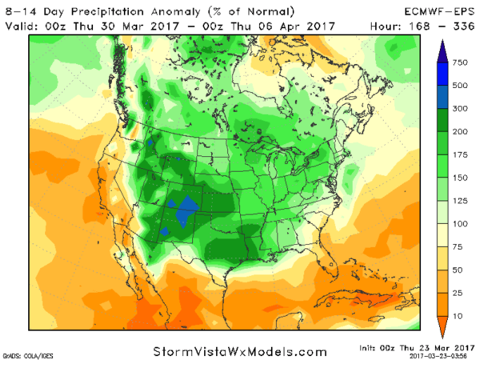
Overall the next 2 weeks feature multiple rain chances and forecasted above normal rainfall…which is especially good for those locations that have been abnormally dry over the past 90-180 days in the Ag Belt.
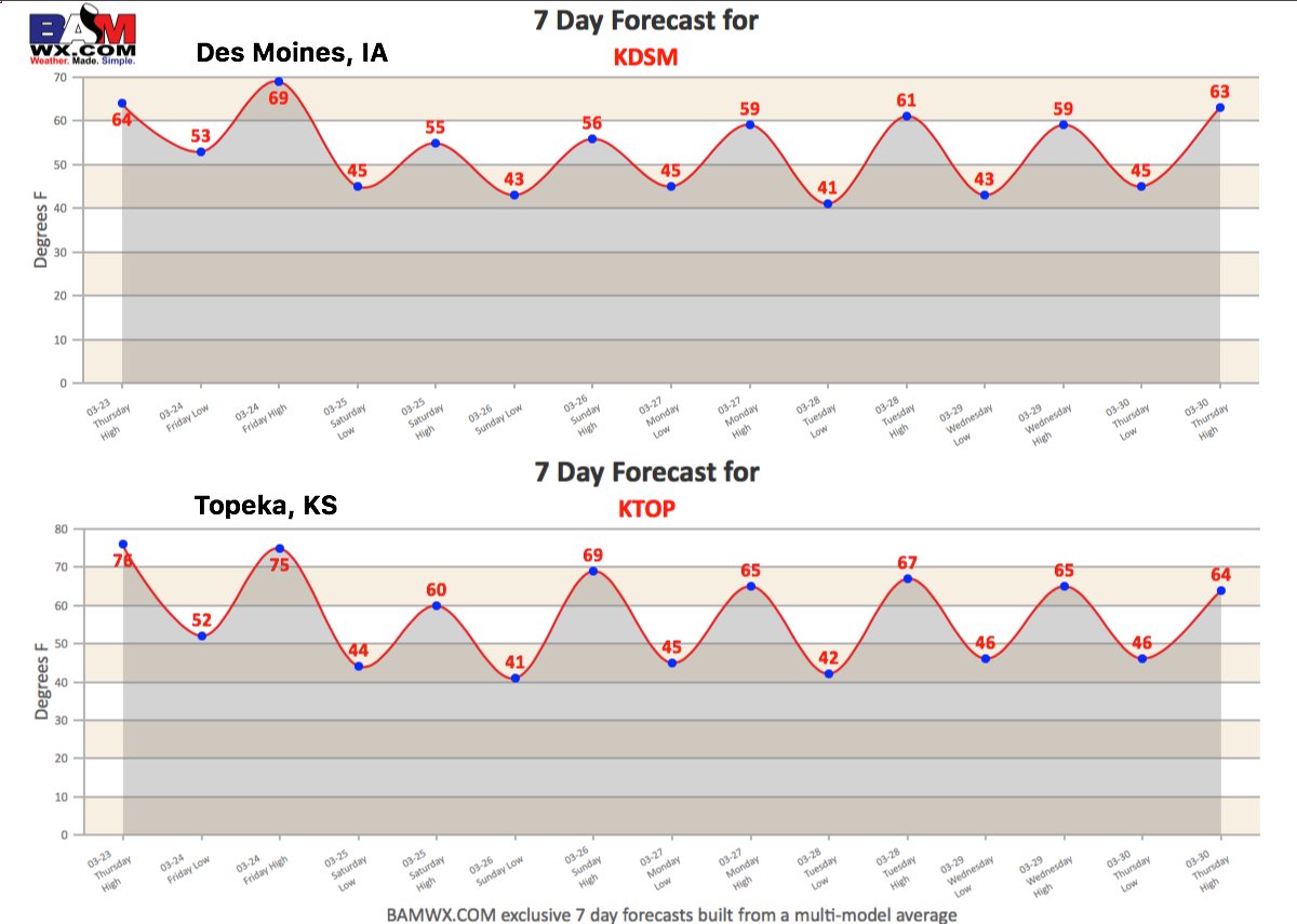
7-day forecasts from Des Moines, Iowa and Topeka, KS…you can access these on the website under “Zones” and “7-days”.
Confidence and Risk:
- Above average confidence we continue to see showers even a few storms lift north of a warm front today across the Zones.
- Increasing confidence of severe weather into tonight across western Nebraska and western Kansas mainly for large hail and damaging winds, but a few isolated tornadoes will be possible especially in supercells.
- Above average confidence the showers and storms filter east on Friday into Saturday impacting more of Iowa and Missouri locations.
- Above average confidence overall we stay above normal in the temperature department over the next week.
- Above average confidence of multiple rain chances into next week, which is welcome news to locations that have been severely dry.
Today’s video (8 min):