#NDwx #SDwx #WIwx #MNwx Active Pattern Continues Next 2 Weeks, Freeze Threat Next Week? E.
Synopsis: Good morning! We continue to track a weak disturbance developing across the central Plains that will bring increased shower and thunderstorm activity to eastern South Dakota, southern Minnesota, and southern Wisconsin this afternoon and evening then into the overnight hours. Another disturbance will bring additional rain and thunderstorms Friday across much of the region. We are tracking the threat for severe weather Saturday across the central Ag Belt, mainly south of our region, but some stronger storms aren’t out of the question in extreme southern Minnesota and Wisconsin. Another system will bring showers and thunderstorms Tuesday into Wednesday with even another system possible toward the end of the week!
Latest radar shows showers developing across the Dakotas and a few showers across Minnesota.
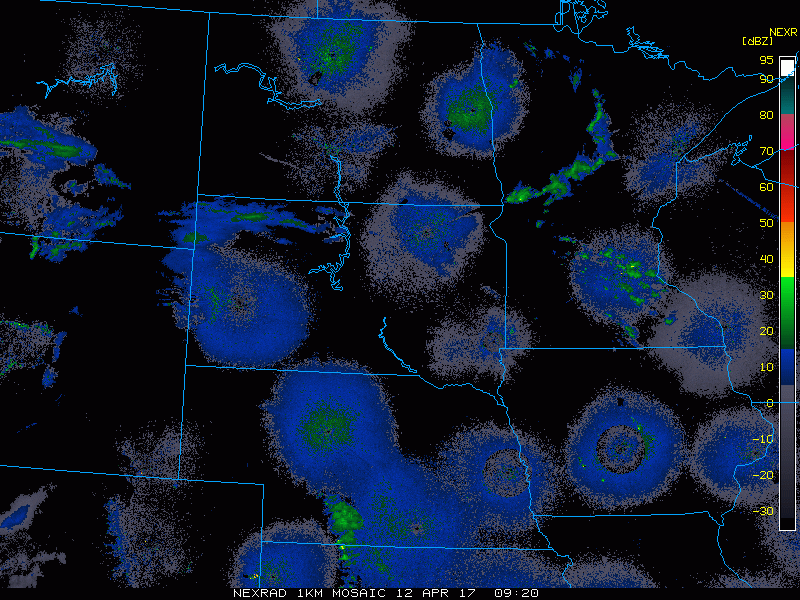
The threat for showers and a few thunderstorms will increase this evening and overnight.
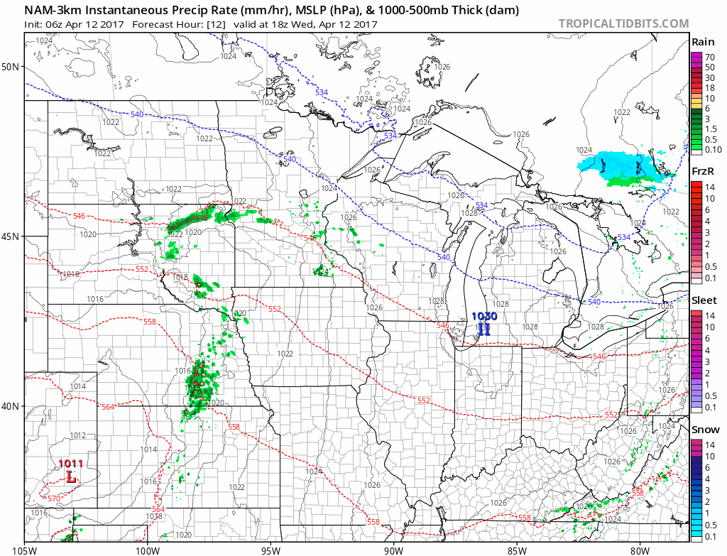
Additional showers and thunderstorms will move through the region Friday, continuing the active pattern.
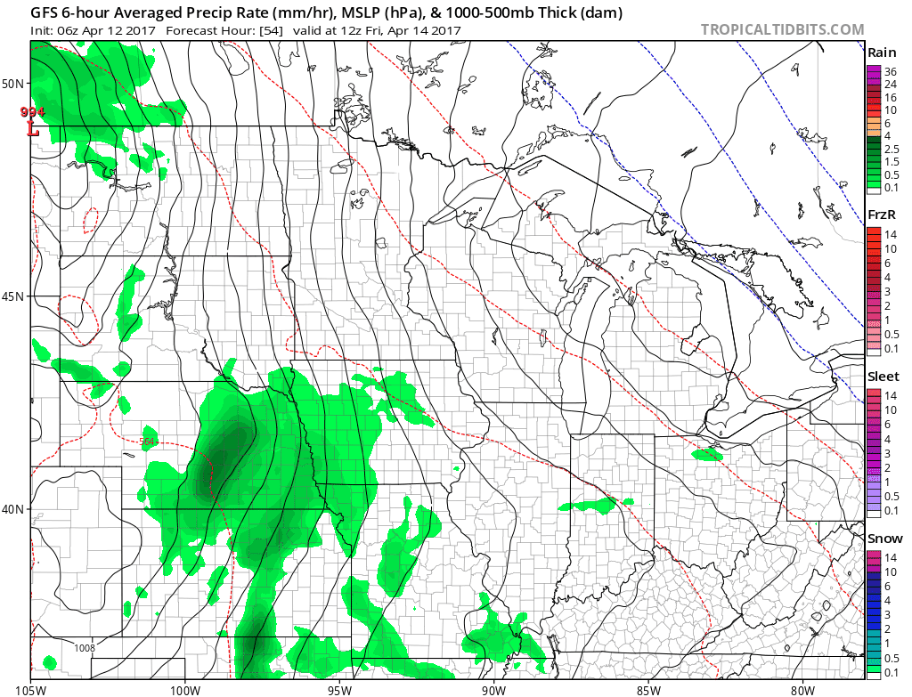
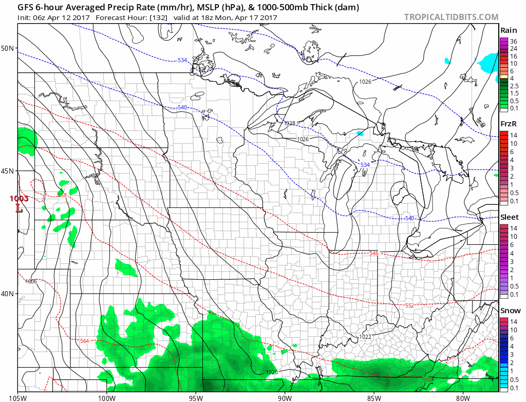
We are eyeing a cold front moving toward the region Saturday with an increased threat for some severe weather, especially in the extreme southern portion of the region. Here’s a look at the ingredients.

While the best threat for severe is south of much of the region, additional rains are likely for the southeastern portion of the forecast area.
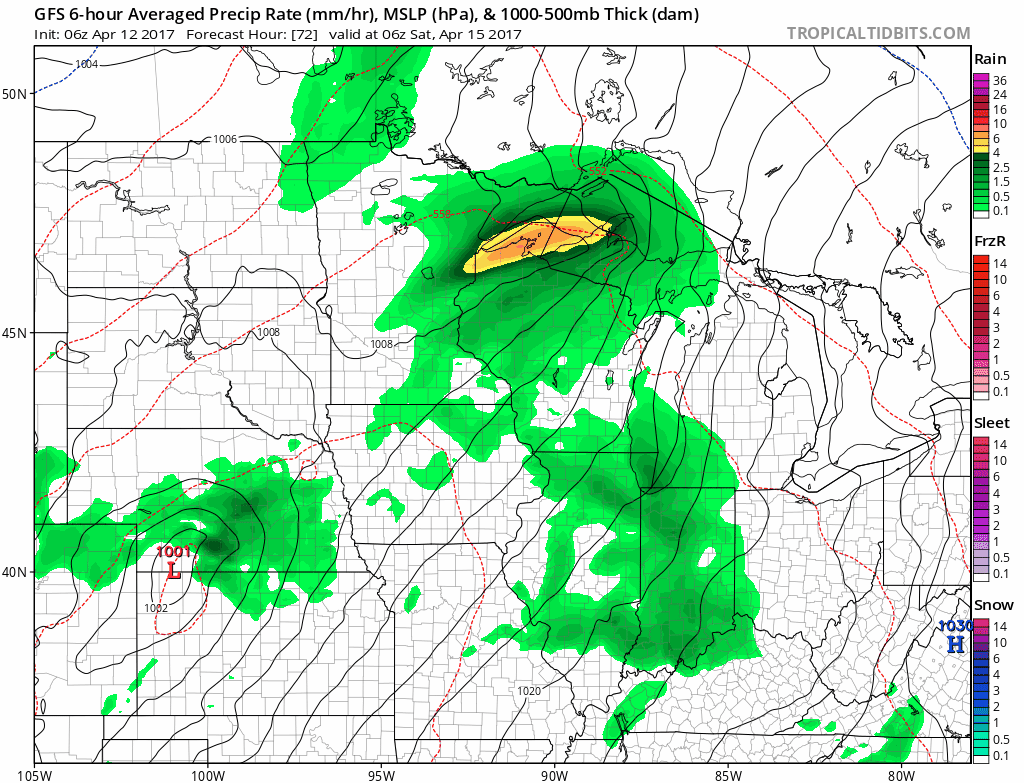
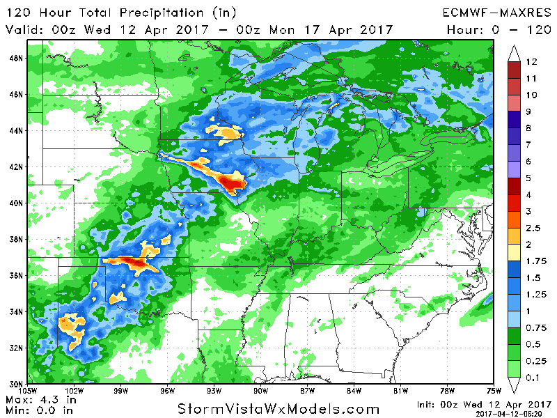
Total rains between this morning and Sunday evening is impressive across southeastern areas.
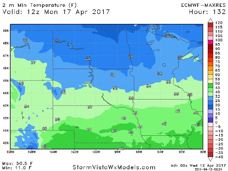
Behind the cold front, freeze and frost risks increase across the northern two thirds of the forecast area for Monday morning.
The active pattern looks to continue through next week and beyond. Another system bringing additional rains is likely midweek next week!
Confidence and Risks:
- Above average confidence in numerous shower and thunderstorm threats through the weekend, especially south and east.
- Increasing confidence in a frost/freeze threat Monday morning across the northern two-thirds of the forecast area.
- Above average confidence in an active pattern continuing through the end of April with cooler risks increasing as well.
Today’s Video (8 minutes):