#NDwx #SDwx #MNwx #WIwx Warmth Developing Into Week 2, Spotty Storm Chances Through The Weekend. E.
Key Points: May 31, 2017
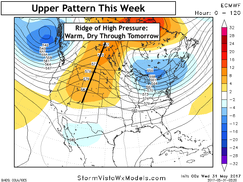
Synopsis: Good Wednesday morning! We continue to see a warmer and drier signal for much of this week with moderating temperatures each day thanks to a ridge of high pressure. By Friday, the ridge will break down across the Dakotas leading to a shower and thunderstorm threat. This looks to impact eastern areas Saturday with a few storms still possible west Saturday as well. Another ridge of high pressure will build into the region early next week promoting warmer temperatures once again. Shower and storm threats will be spotty at best as this ridge moves in, likely leading to near to below normal rainfall in week 2. Have a blessed day!
- The pattern this week will be dominated initially by a ridge of high pressure. This will promote warmer conditions through the weekend.
- By Friday, the ridge will briefly break down as a piece of energy moves through. This will increase the shower and storm threat across the Dakotas.
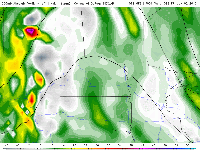
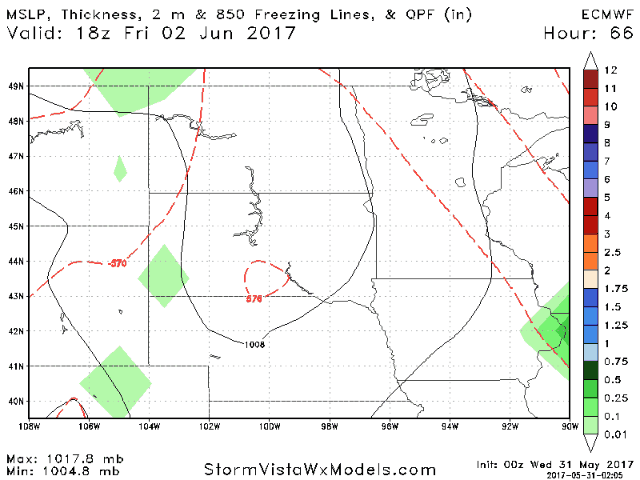
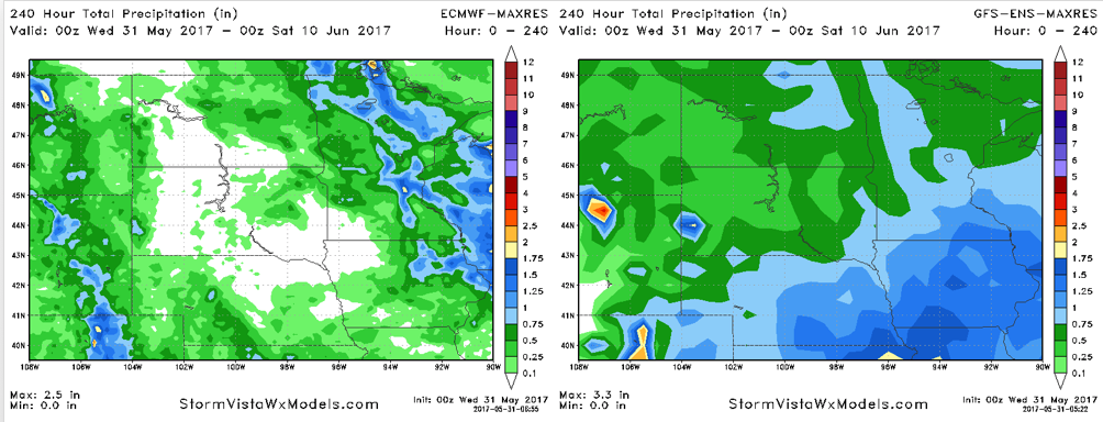
- Rainfall amounts will be very storm dependent, but generally the threat us highest Friday and Friday night across the Dakotas, then shift eastward for Saturday.
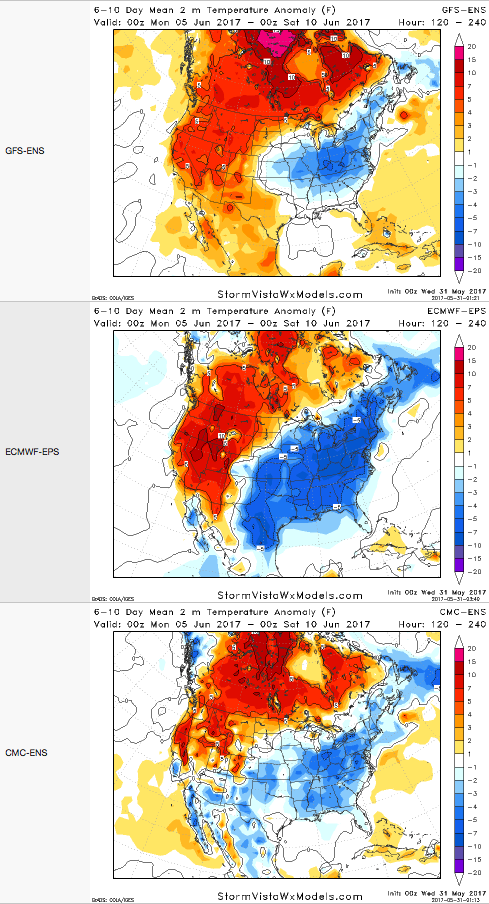
- Into next week, another ridge of high pressure will build into the region leading to more warmth especially across the Dakotas.
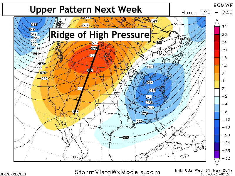
- Next week looks warm especially north and west with cooler conditions east – all model data agrees on this aspect of the pattern.
- Rainfall will be very storm track dependent with some places possibly not seeing any rain over the next 10 days.
Confidence and Risks:
- Above average confidence in warmth and dryness today and tomorrow across the region.
- Average confidence in storm chances west Friday then east Saturday. Very storm track dependent, so check back!
- Increasing confidence in more warmth and dryness developing in week 2.
Today’s Video (6 minutes):