#NDwx #SDwx #MNwx #WIwx Severe Weather Possible Today, Active and Cooler Late Week? Details Here. E.
Key Points: May 15, 2017
Synopsis: Good Monday morning! We hope you had a great weekend and happy belated Mother’s Day to all the moms out there! A warmer, more active period is expected this week with showers and thunderstorms periodically throughout the week, starting today. We will start the week warm, but trend cooler as especially west as a battle zone in temperatures develops across the middle of the country. We continue to think things stay cool and somewhat active into week 2 as well. Have a wonderful day!
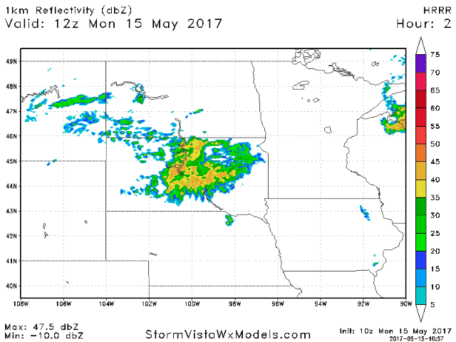
- Latest radar shows a complex of storms across South Dakota.
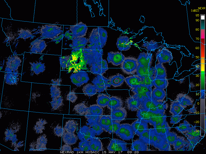
- This complex will push east through the day into eastern South Dakota and southern Minnesota. Timing is discussed in the video!
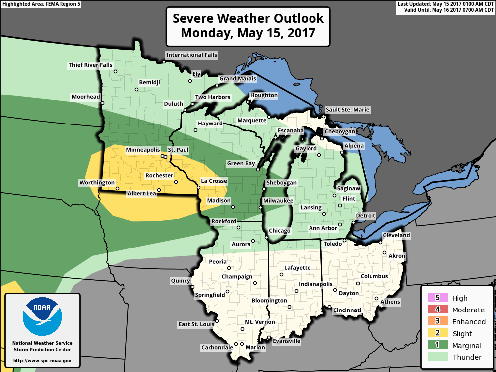
- The SPC has outlined areas in southern Minnesota for this complex this afternoon with the threat of gusty winds, large hail, and even an isolated tornado.
- The active regime will continue this week as a temperature battle zone sets up over the region. Cooler conditions are expected west and north.
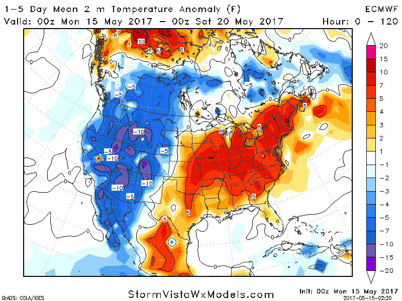
- Here’s the latest European model’s interpretation of the active times coming Tuesday through Thursday.

- Additional rain chances are expected into the weekend as cooler air filters into the region.
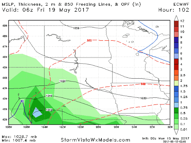
- Cooler and continued active conditions are expected into week 2 as well.
- Total rainfall will be very dependent on storm location. Definitely a case of “haves and have nots”.

Confidence and Risks:
- Above average confidence in thunderstorms this afternoon, some severe, in the areas discussed above.
- Above average confidence in an active pattern continuing this week, but exact rainfall is uncertain and will be storm dependent.
- Above average confidence in cooler times developing toward the end of this week into week 2.
Today’s Video (6 minutes):