#INwx #ILwx #OHwx #KYwx Short-term update regarding storm chances into late week. N.
Good Tuesday afternoon! Widely scattered storms will remain in the forecast over the next few days, with increasing chances late Thursday as a cold front moves through the area. Drier and cooler air settles in behind this front. All the details in the video!
Short-term video update (3:47):
Current radar shows storms popping-up across the area, with the greatest coverage across Illinois.
Heading through the afternoon, storms will continue to pop-up on radar with coverage around 40-50%. Any storms may produce locally heavy rainfall. Storms will stay below severe limits. Once we go beyond sunset, storm coverage will diminish greatly.
It appears we will do it all over again for Wednesday, with scattered storms bubbling up mainly during the afternoon with daytime heating. Storm coverage should be ~50%. Once again, severe storms are not expected, but watch for localized heavy rain.
The Storm Prediction Center places portions of the area under a marginal severe risk Thursday, as better dynamics start to move into the region.
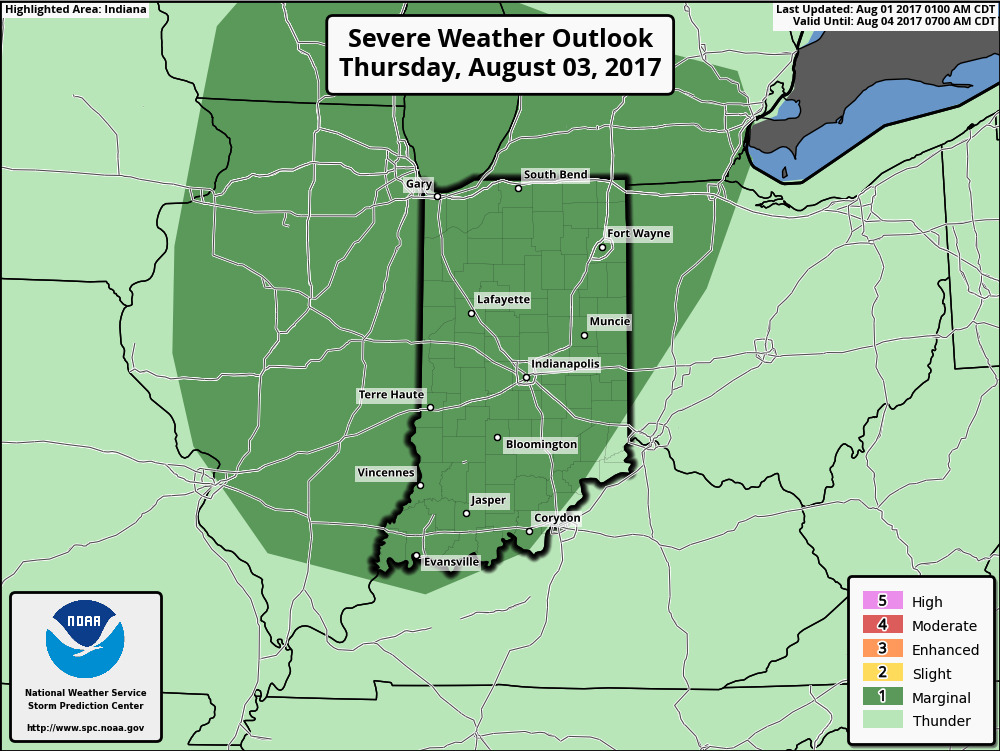
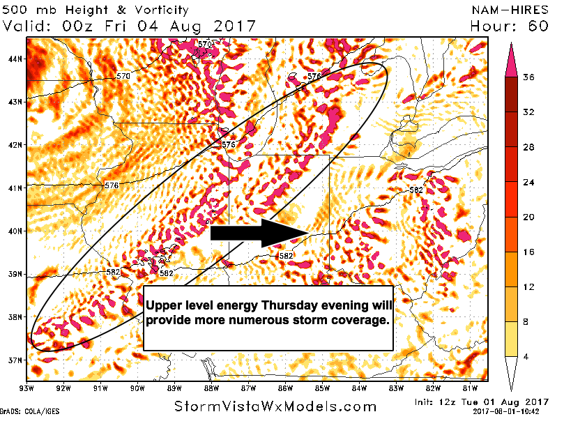
The best storm chances will arrive in the afternoon (northwest) then chances continue to increase area-wide Thursday evening/night as a front moves into the region. Posted below is the hi-res NAM upper level energy plot Thursday evening. This will aid in greater storm coverage, with isolated severe storms possible.
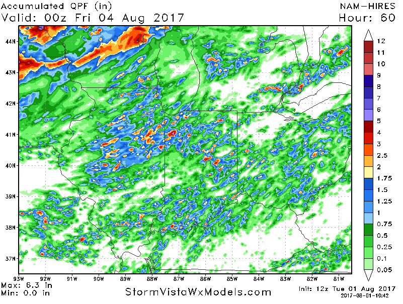
Here is the rainfall forecast off the hi-res NAM through Thursday evening. Keep in mind this does not take into account additional storms that will move across the area Thursday night into early Friday.