Key Points – Thursday, May 11, 2017:
Synopsis: Good Thursday morning! A few showers remaining across central IL that we think will hold together through the morning moving east. We will pave the way for a drying trend from ~Friday afternoon until around Tuesday afternoon with temps getting into the 80s. We caution you, however, the active pattern returns back very quickly into mid-next week that we discuss in today’s video. Have a blessed day!
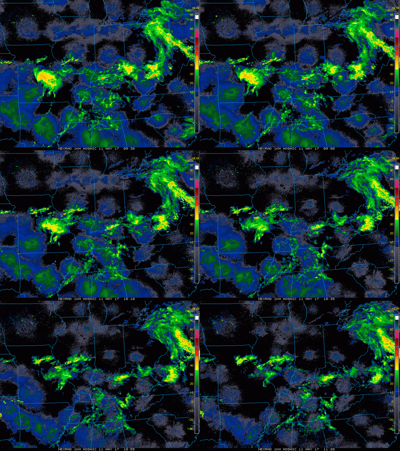
Current radar:
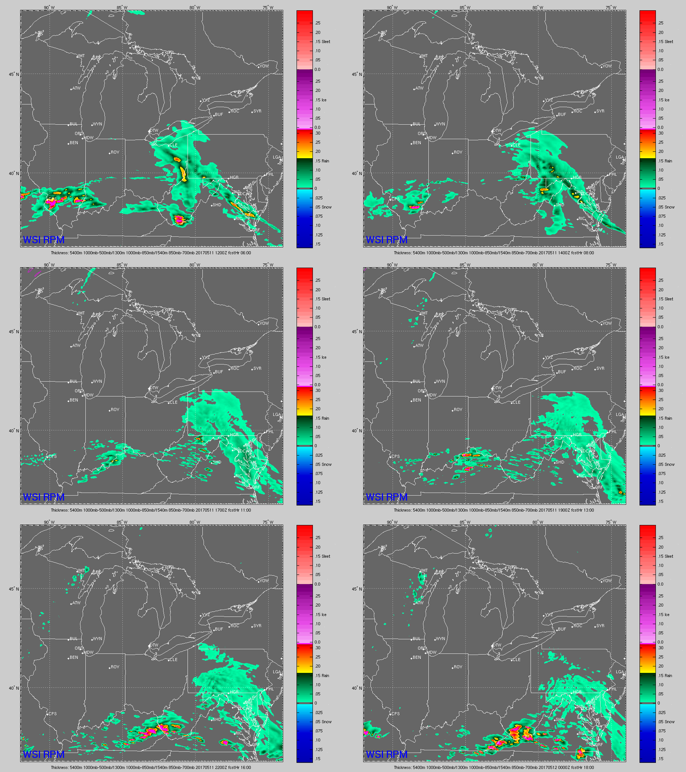
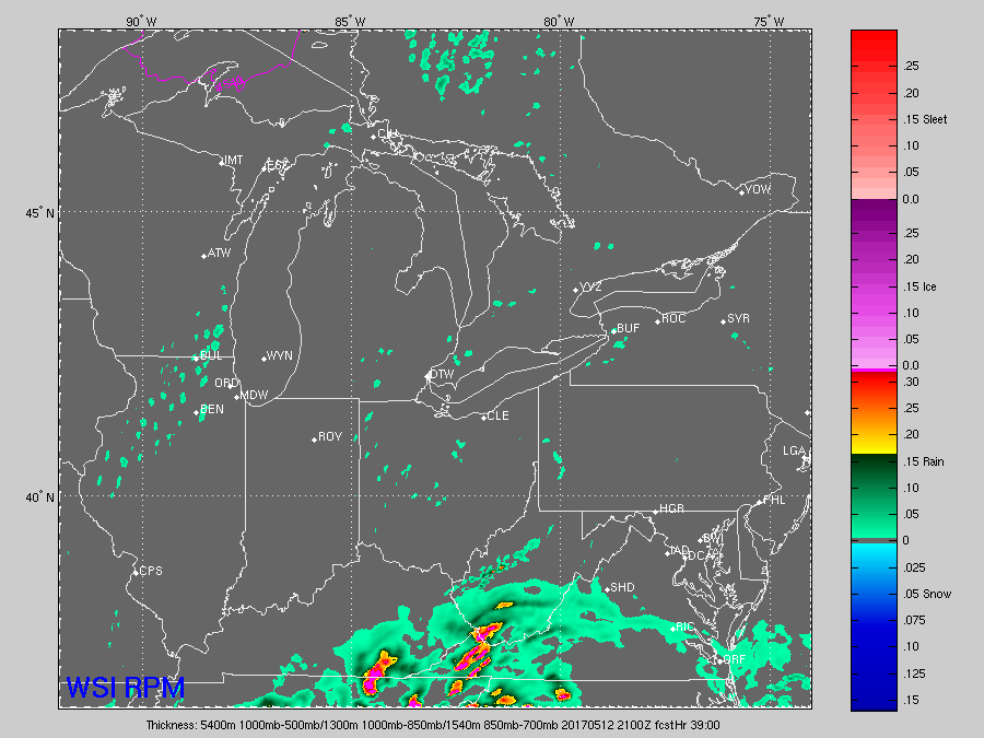
Simulated radar: scattered storm threat throughout the day across the southern tier of the Midwest into this afternoon and then moves out of the zone to the south. Most of the Midwest other than folks to the south stay drier today with some peaks of sunshine possible.
With the strong northwest flow forecasted for tomorrow, some potential afternoon isolated showers with a coverage ~10-20% possible…not much in the way of accumulated rainfall with these.
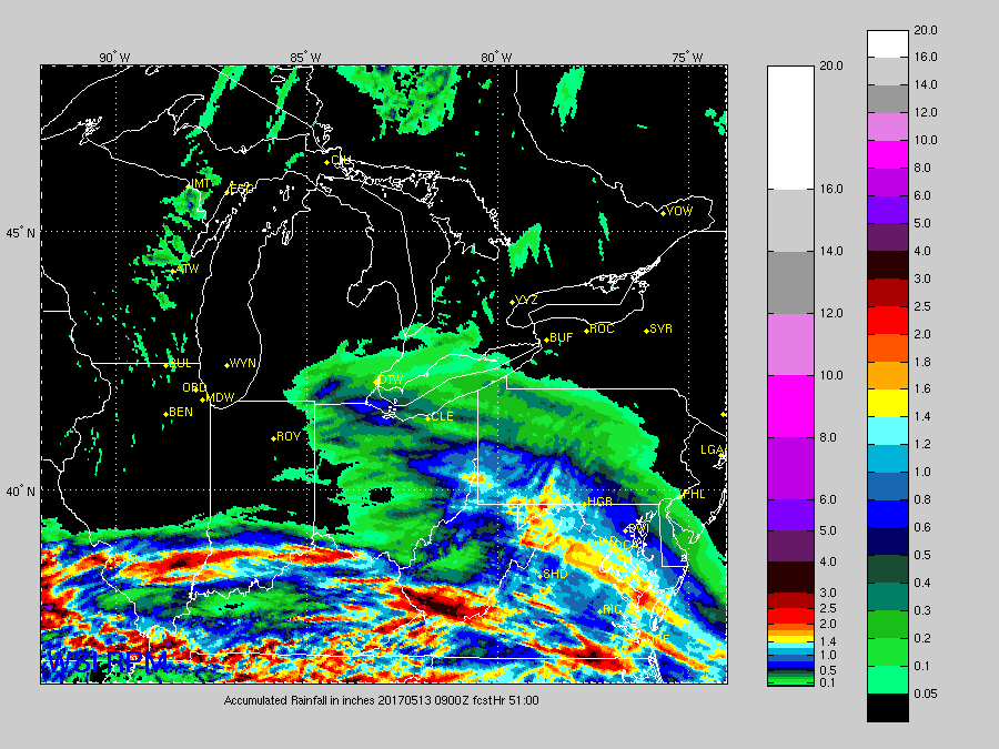
Total rainfall next 51 hours via the RPM model…the moderate rain definitely focused across southern IL, southern IN and southwest OH with drier times focused further north.
Looking at wind gusts over the next 3 days, we’ve indicated areas where gusts topping 25mph could be possible below:
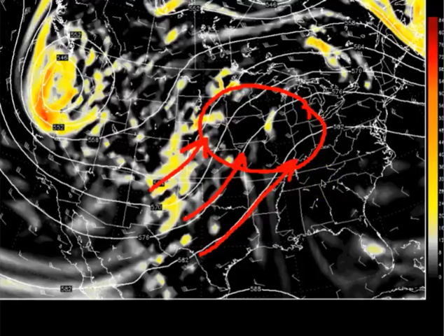
Dry time settles in Friday through early next week across the Midwest. We discuss in the video why we don’t think we stay as dry as our forecast models suggest getting into later on Tuesday next week through the end of the week. We wouldn’t be shocked if we see a scattered storm threat across the Midwest getting in on a southwest flow that needs watching.
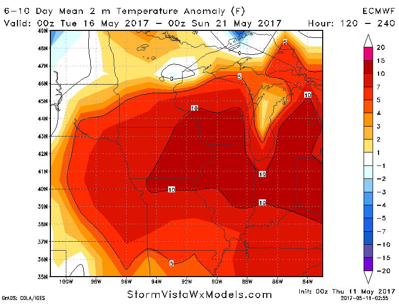
Warmth certainly in the forecast over the next week to 10 days across the Midwest…some 80s definitely will be possible in the days ahead!
Confidence and Risk:
- Average confidence showers and some storms continue across the southern tier of the Midwest today.
- Average risk for some wind gusts topping 25mph through this weekend across portions of the Zones.
- Above average confidence in drier conditions overall through early next week, warmer as well.
- Average risk we get in on southwest flow, however, ~Tuesday next week which could produce a scattered storm threat and the return of our active pattern.
Today’s video (7:45 min):
