#ILwx Severe Risks Increasing Late Week Into the Weekend. Details Here! E.
Key Points: May 31, 2017
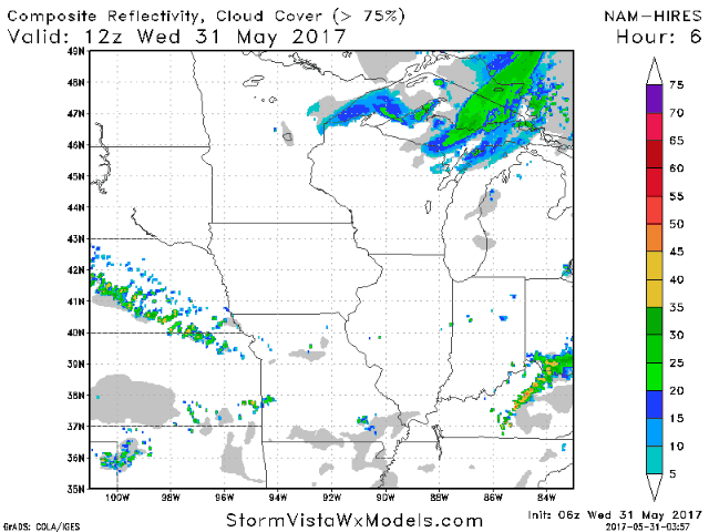
Synopsis: Good Wednesday morning! We are tracking a few showers along a weak cold front moving through southern Illinois this morning. Behind this front a majority of the state will see a nice day today with some sunshine and temperatures in the 70s. Along the Ohio River, a few showers and storms will be possible along the front today. Tranquil conditions will last into Thursday with some sunshine for much of the state, but along the Ohio River, a few showers and storms will be possible once again. A piece of energy will move through the region Friday bringing the threat for a cluster of storms. This will be track dependent, so make sure to check back! Another system will move through the state over the weekend bringing another storm threat especially north along with warm and humid conditions Saturday. Cooler conditions will settle into the region Sunday into early next week. Have a blessed day!
- Radar shows a few decaying showers south this morning, but most areas are dry.
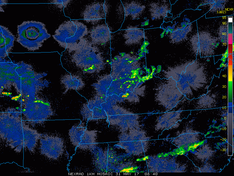
- Overall today looks like a nice day with temperatures in the 70s along with some sun. A few showers will be possible along the Ohio River.
- Winds over the next few days generally look to be out of the northwest today and tomorrow, then will shift out of the southwest into the weekend. This will help fuel a storm threat Friday into the weekend.
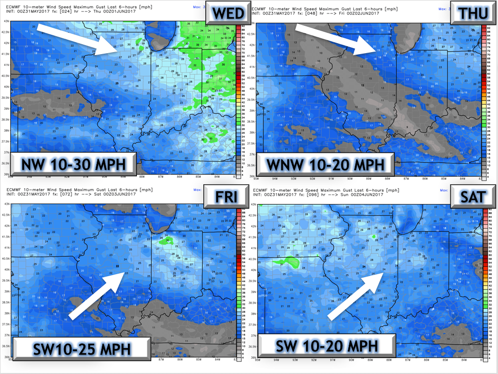
- On Friday, winds will shift out of the southwest bringing warmer, more humid air into the region. This will also bring the threat of a cluster of storms Friday across the state. Here’s a look at the energy projected to cross through the state Friday into Friday night.
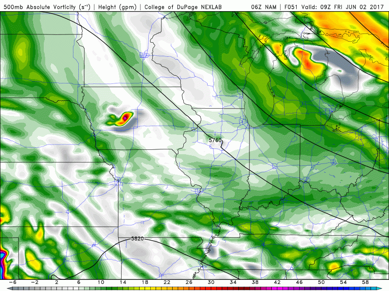
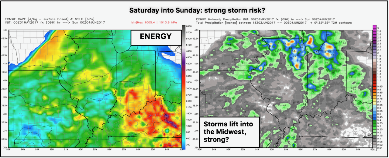
- Another piece of energy will move through the region Saturday into Saturday night. This combined with warm and humid conditions may set the stage for some severe risks.
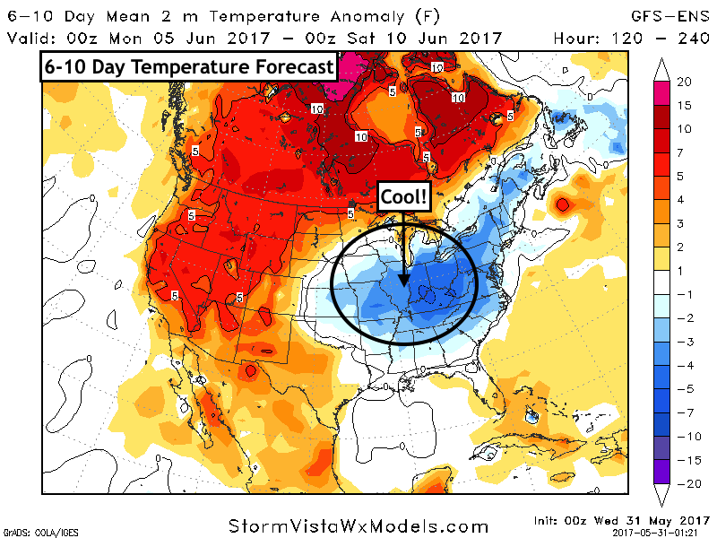
- Behind this system, cooler temperatures are expected next week. Latest 6-10 day temperatures look 4-8 degrees below normal.
Confidence and Risks:
- Above average confidence in a nice few days with seasonable temperatures today and tomorrow.
- Increasing confidence in a cluster of storms Friday and then again Saturday, but they will be very track dependent – stay tuned!
- Average to above average confidence in cooler temperatures lingering through much of next week.
Today’s Video (8 minutes):