#ILwx #INwx #OHwx Wet & raw conditions persist through late week. K.
Synopsis: Good Tuesday afternoon! Targeting the slow-moving rainmaker that’ll expand in coverage into Wednesday and Thursday across the Midwest. Once again, still watching for locally heavy rainfall and small hail…possibly even a funnel cloud given how much spin will be in the atmosphere here. All the details are in the video, have a blessed day!
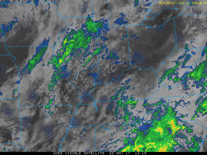
Current Radar:
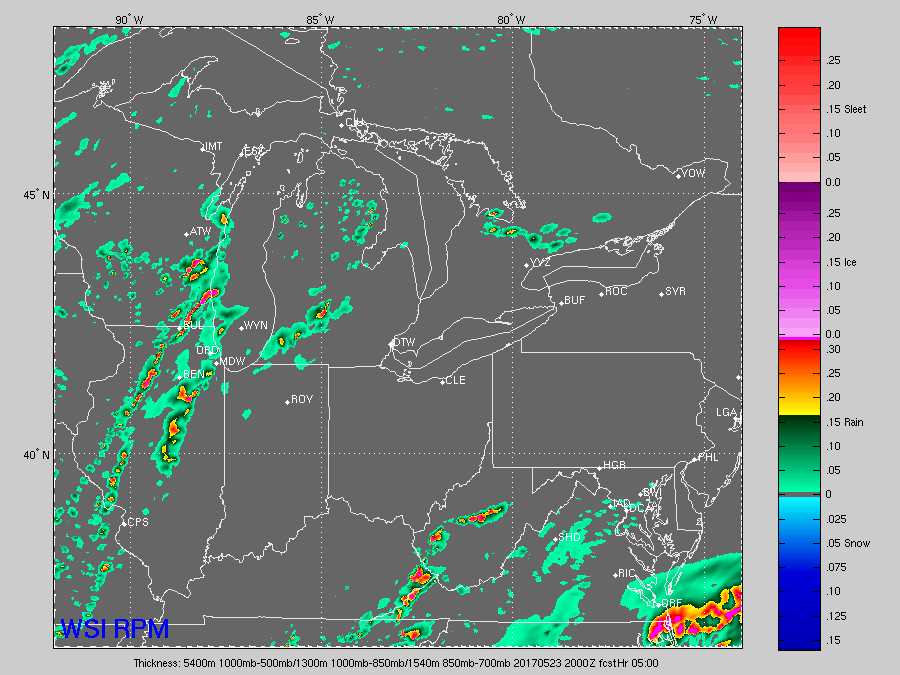
Simulated radar…showers and storms really kick up in coverage later tomorrow morning from south to north across Indiana into Ohio and persist most of the day…some heavy rainfall at times, small hail even a couple funnel clouds will be possible here as well given how much spin will be in the atmosphere. These persist on the day on Thursday more scattered in nature before finally passing off to the east later in the day.
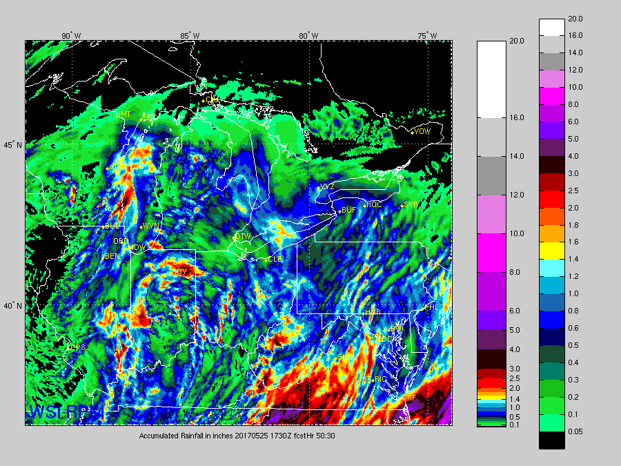
Thoughts on total rainfall…it’s quite difficult to pinpoint still where the heaviest rainfall will fall, but we can say with confidence there will be localized 2-3″+ possible.
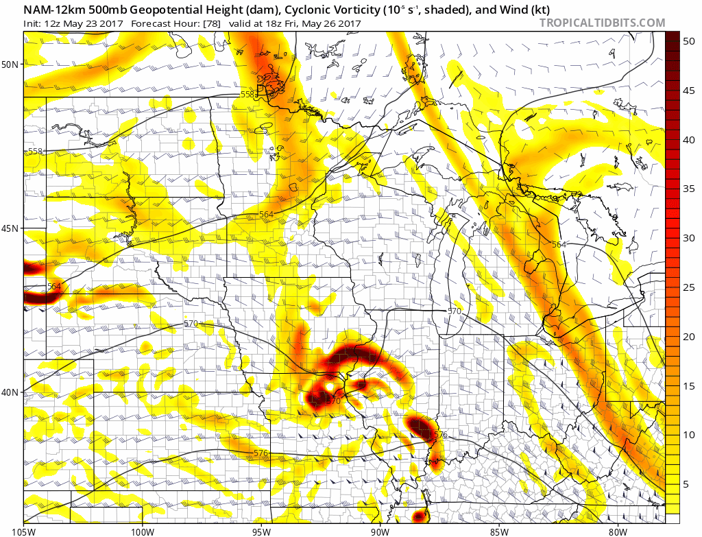
Need to watch this impressive impulse of energy later Friday into Saturday morning for a possible MCS (mesoscale convective system) event…these are typically large clusters of heavy/strong showers storms that typically persist overnight and drop a lot of rain.
Confidence:
- Above average confidence showers increase on coverage from south to north on Wednesday and lingering into Thursday especially across Indiana and Ohio.
- Below average confidence on exactly where the heaviest rainfall will fall over the next couple of days.
- Average confidence in some isolated small hail reports given the nature of an upper-level low pressure system.