Key Points – Monday, March 27, 2017:
Synopsis: Welcome to a new week and thanks for checking out the latest forecast update! Another active weather week is on tap with multiple shower and storm chances across the Midwest through next weekend with another week of mild temperatures expected as well. Have a great week!
Showers and storms possible today into tonight as the low pressure tracks into the Midwest…the storm activity should stay mainly south of I-70 with scattered showers possible to the north.
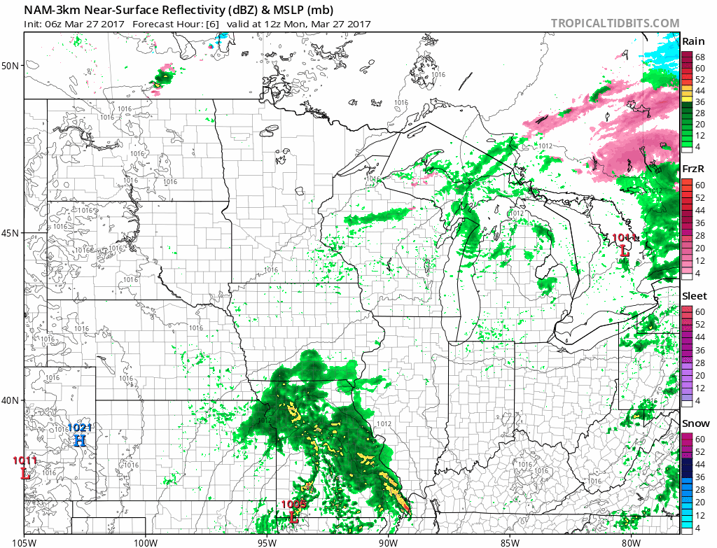
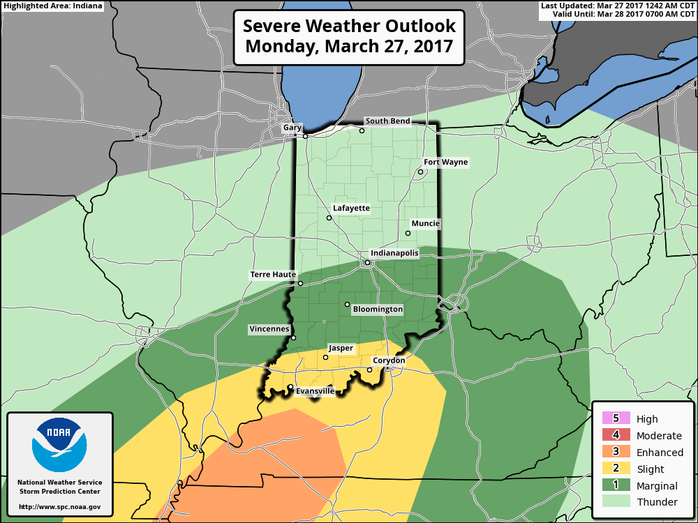
A few strong storms possible this afternoon into tonight with the main threats being gusty winds and isolated large hail mainly from I-70 south.
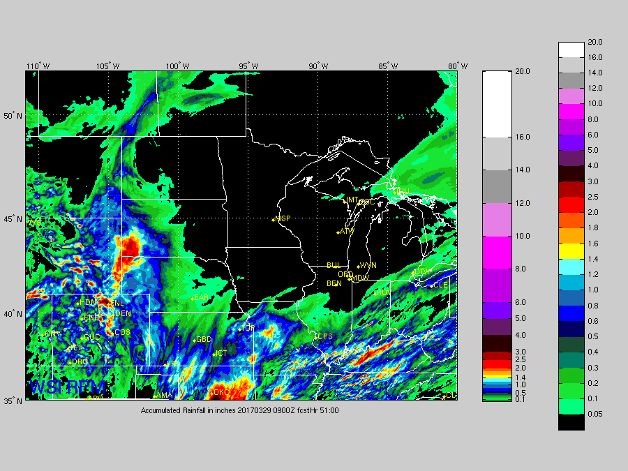
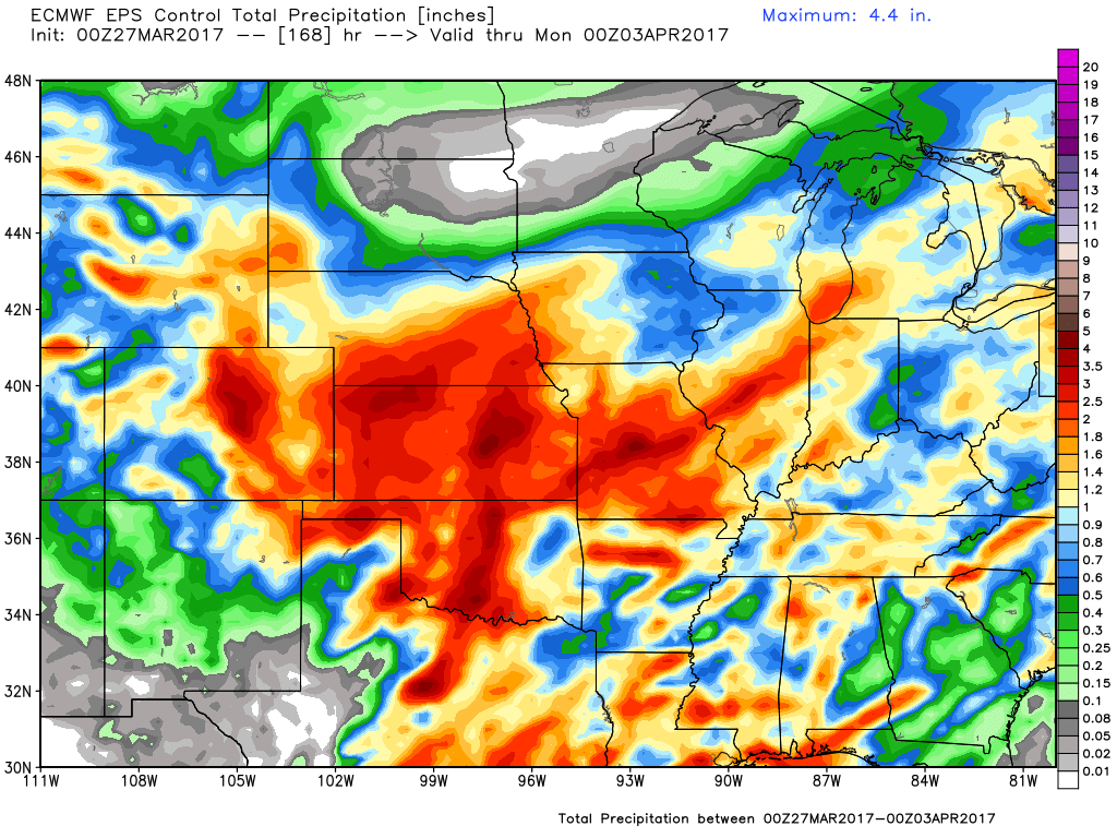
Rainfall totals through Tuesday keeping the majority of the heavier rains across the southern Midwest…isolated totals greater than 1.0″ will be possible.
High pressure-like conditions set in the second half of Tuesday into Wednesday keeping our weather fairly quiet…our next storm system approaches from the west later Wednesday into Thursday and Friday.
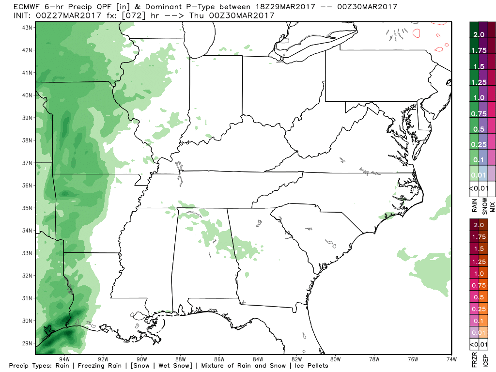
High pressure is forecasted to set in later Friday into Saturday with our next rain chance on tap Sunday as of right now. Forecasted rainfall totals from the European control over the next week is very active with a wide swath of 2.0″+.
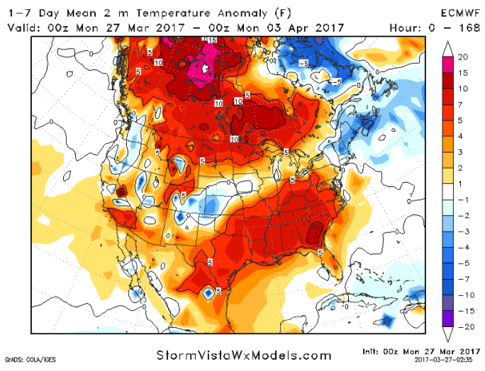
Temperatures from normal this week are overall warmer than normal by ~5ºF, this translates to highs mainly in the 50s/60s across the core of the Midwest.
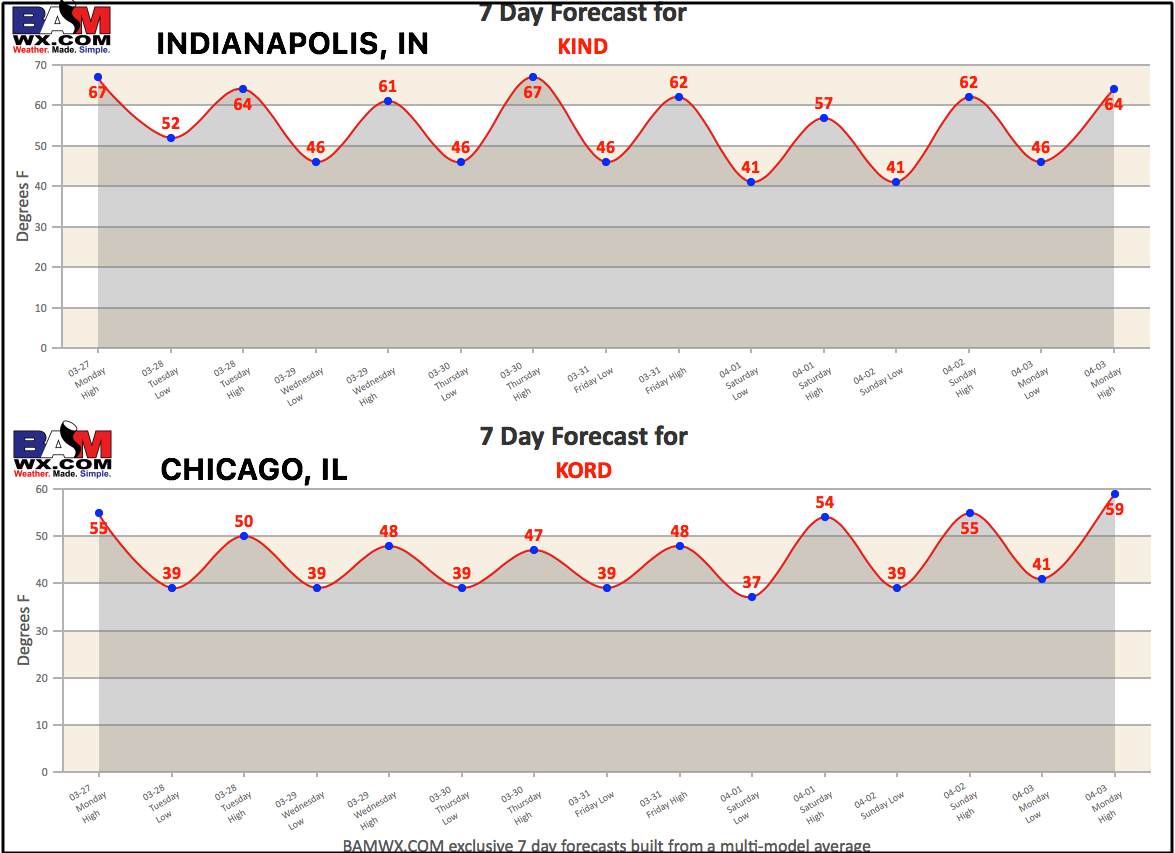
Today’s 7-day forecasts:
Confidence and Risk:
- Above average confidence of showers and storms mainly south of I-70 today into tonight.
- Above average confidence our next system bringing showers and some storms moves in later Wednesday into Thursday and Friday.
- Above average confidence we are very active in terms of the pattern over the next week.
- Above average confidence our temperatures from normal are largely above normal over the next week as well.
Today’s video (7 min):