#ILwx #INwx #OHwx Mon Short-term:
Synopsis: Good afternoon! Today we focus on the remaining strong storm threat across Illinois and Ohio today, where isolated marginally severe hail will be possible, heavy localized rainfall and dangerous lightning through tonight. A few weak showers possible on Tuesday, otherwise we stay mild through Wednesday before high pressure cools us off once again (though it will brief).
Current Radar ~2pmEDT:
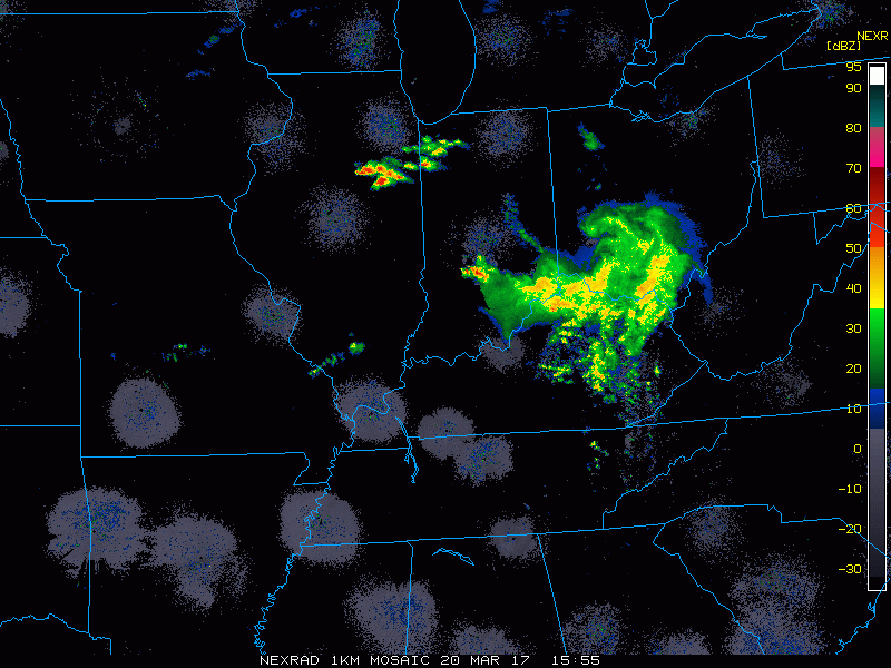
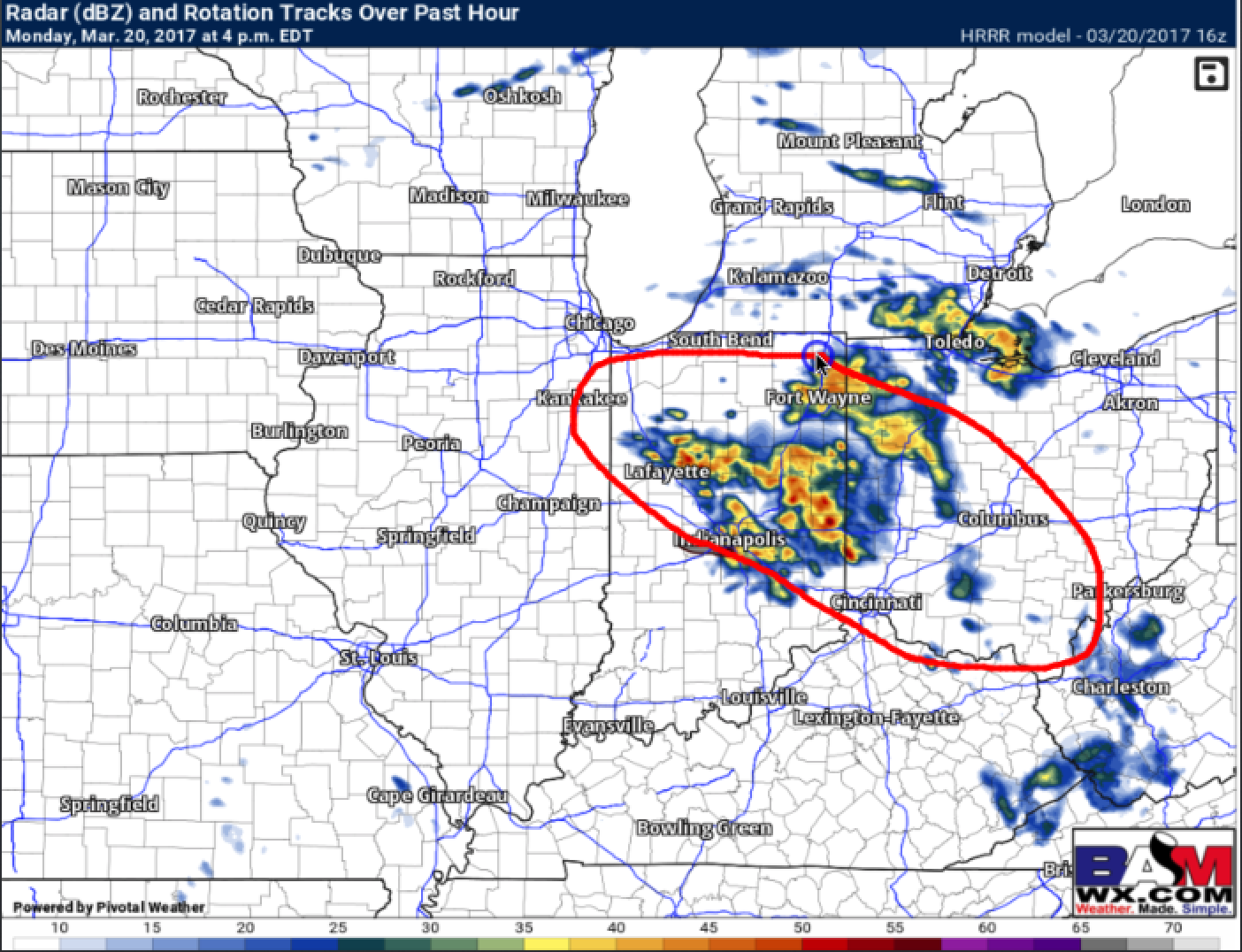
Simulated radar…we time these out in the video but strong to severe storms remain possible across IN and OH today through tonight. Sunshine will peak out across Iowa and Illinois as well as this disturbance pushes east.
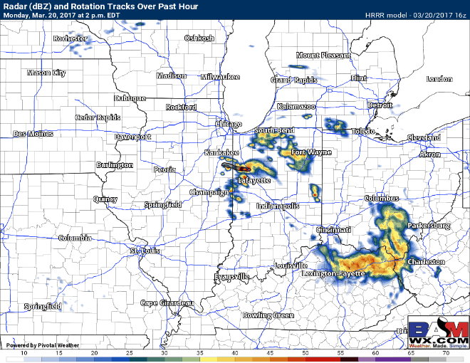
This is where we feel additional strong to severe storms capable of producing localized heavy rains > 1.0″, marginally severe hail and dangerous lightning will be possible through tonight.
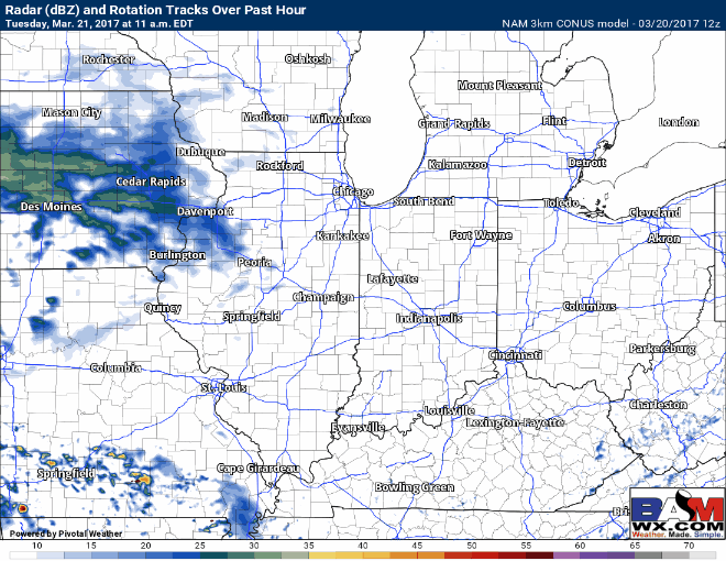
Small chance of 20-30% showers possible on Tuesday as a weak disturbance moves through the Midwest…very light accumulations possible.
Confidence and Risk:
- Above average confidence of additional strong to severe storms across IN/OH today into tonight.
- Average confidence of a weak shower chance on Tuesday as a weak disturbance moves east.
- High confidence we turn chilly on Wednesday as high pressure ushers in colder air from the northeast…will be brief, however.
Today’s video (4 min):