#ILwx #INwx #OHwx #KYwx PM Short-term:
Synopsis: Good Tuesday afternoon, today we discuss the pattern over the next 2-3 days conducive for additional storms, some being strong with localized very heavy rainfall. For the rest of today through Wednesday storms still hit or miss in nature, all the details in the video. Have a blessed rest of your day!
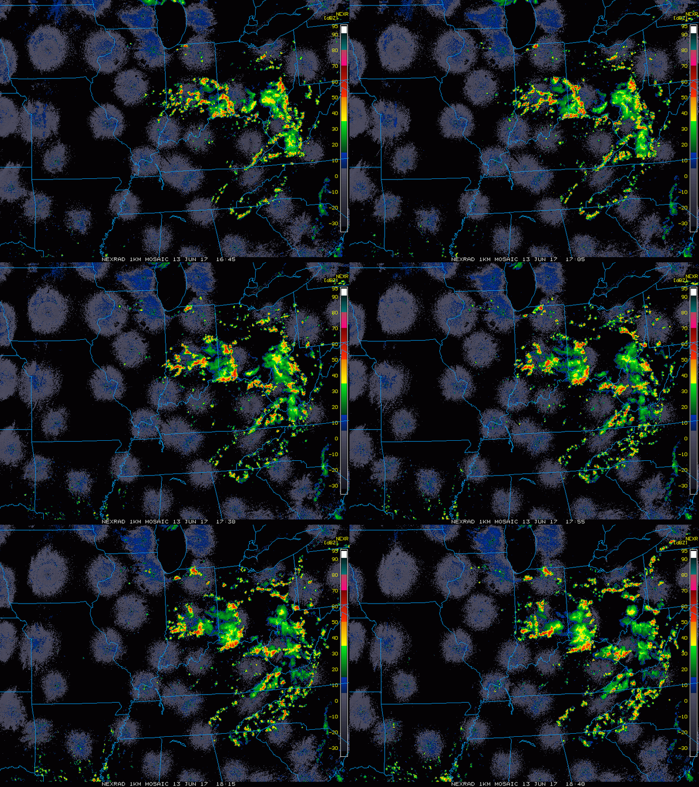
Current Radar:
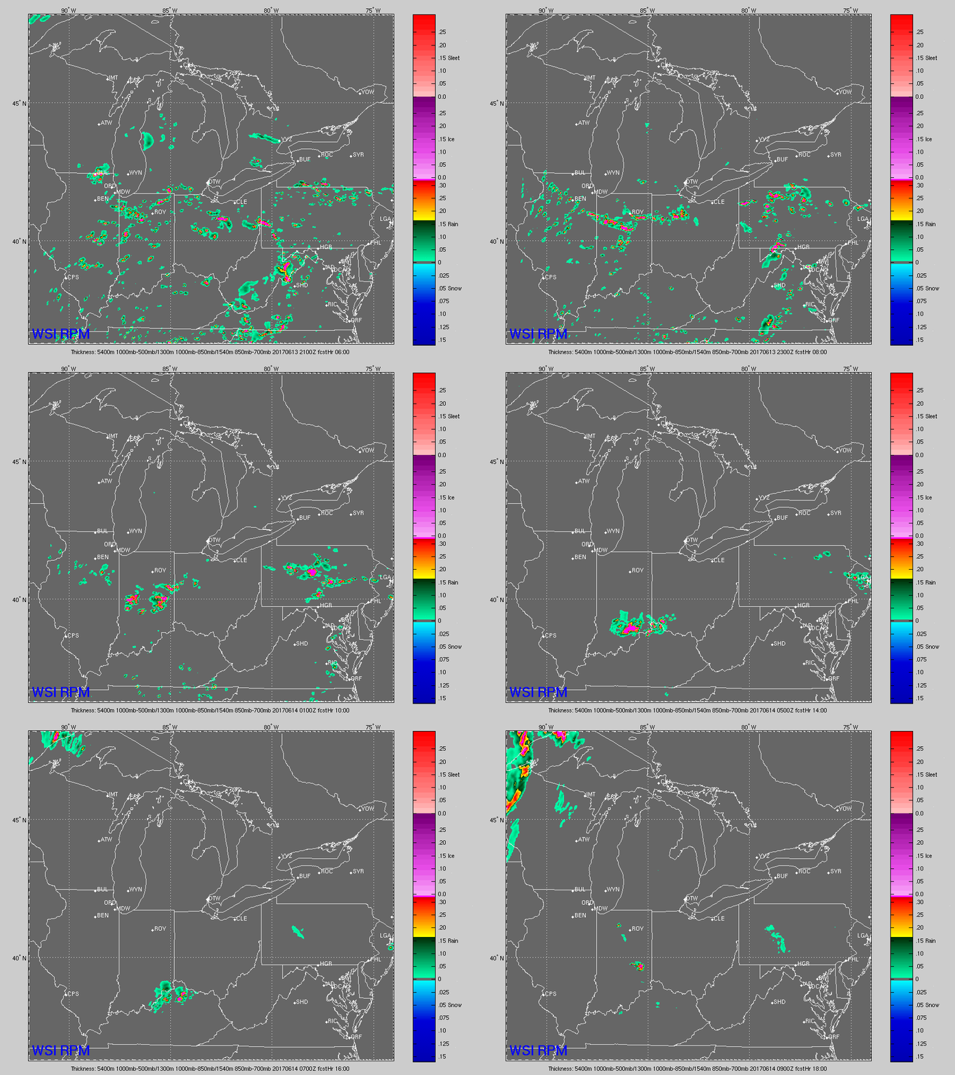
Simulated Radar through tonight…scattered throughout the Midwest….a few lingering storms or cluster of storms possible across Indiana and western Ohio through very early Wednesday morning. Can’t rule out additional strong storms here as well as we’ve already seen today.
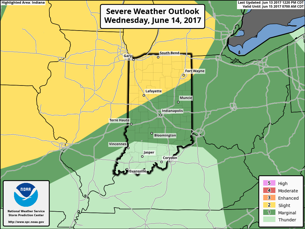
Strong storm risk has shifted further east for Wednesday…still would like it come further east and south to include more of IN and western OH locations. Main threats remain damaging winds, localized heavy rainfall and isolated large hail.
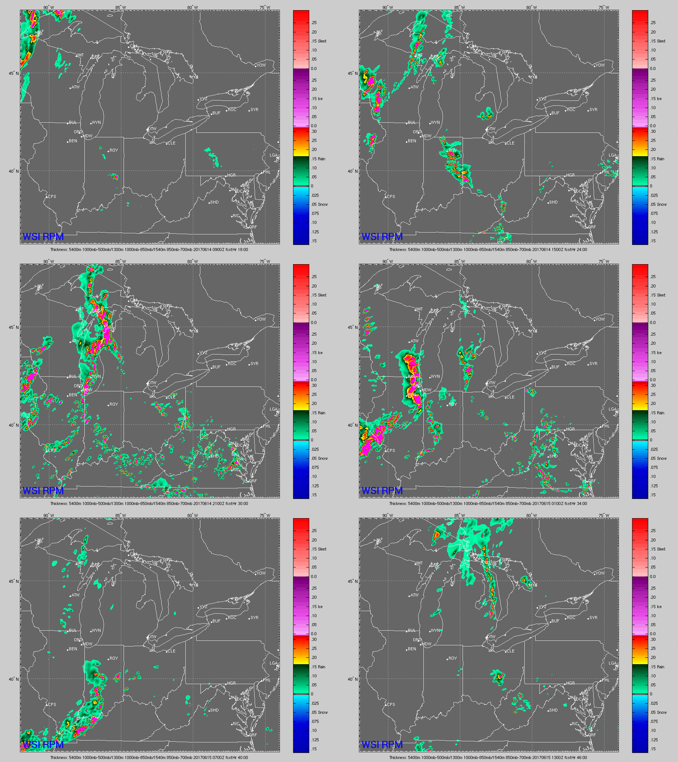
Simulated radar Wednesday morning through Thursday morning…multiple waves of showers and storms possible here from dawn until dusk. Again, these are hit or miss…not everyone gets in on these. Coverage ~40/50% blossoming throughout the day. Then another threat Wednesday night through Thursday morning…can’t rule out a storm cluster moving west to east…all the details in the video.
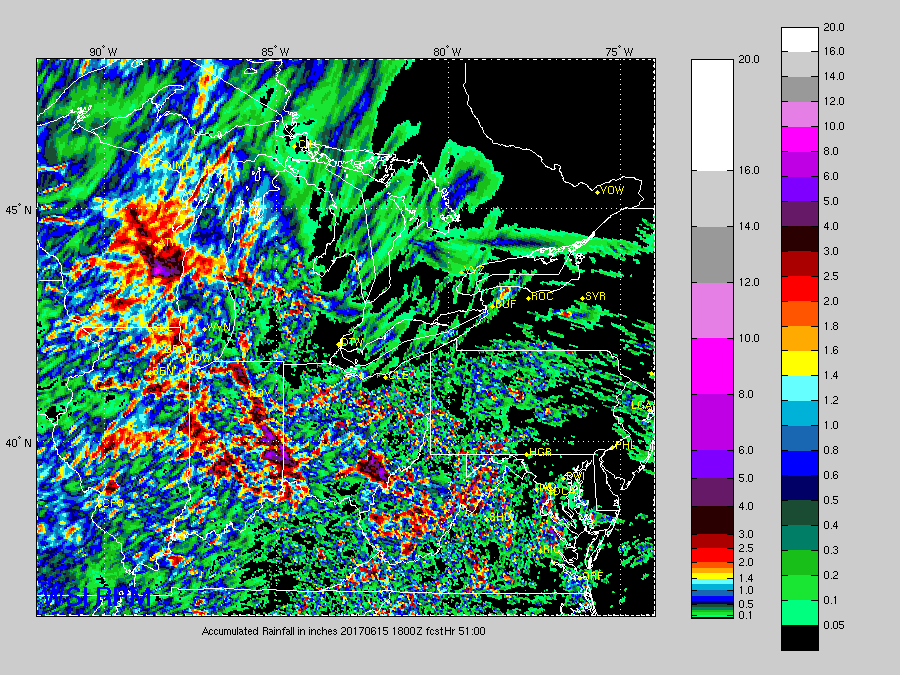
Total rainfall next 50 hours…not out of the question for some localized 4.0″+ amounts as mentioned this morning…our thoughts continue to stay consistent of storms being largely hit or miss in nature; not every location gets in on the heavier rainfall.
Confidence:
- Above average confidence these pulse storms continue largely through sundown and weakening not long after.
- Average confidence we have a few lingering storms Wednesday morning before additional storms blossom throughout the day across the Midwest through Thursday morning.
- Above average confidence of localized very heavy rainfall possible in excess of 3″ in some spots.
Video (5 min):
