#ILwx #INwx #OHwx Cool & sunny today, we turn warm and very wet/stormy into the weekend and beyond. Details here. K.
Synopsis: Cooler today with mostly sunny skies, we begin a warming trend after today however…with well above normal temperatures expected over the next week! We discuss in the video our next chance for showers and thunderstorms later Thursday into the weekend…70s possible this weekend as well? Enjoy the sunshine while it’s around, plenty of rain chances ahead as our pattern turns very active.
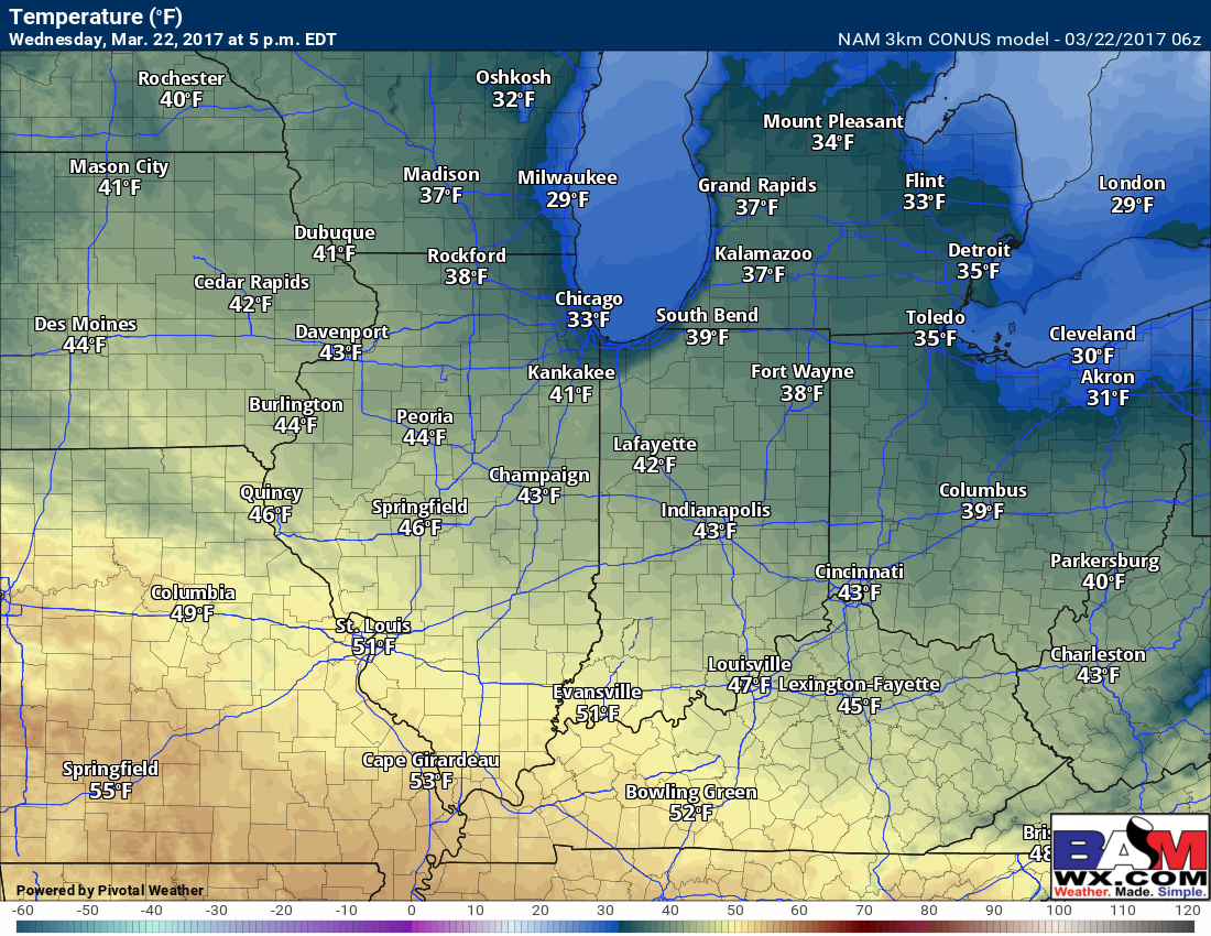
Mostly sunny skies today…cooler with highs in the 40s to lower 50s south. Winds will be out of the northeast with high pressure overhead at 5-10mph.
Showers and a few thunderstorms possible on Thursday afternoon into the evening…these will be scattered in nature as a warm front lifts into the Midwest. We are pretty chilly in the upper levels of our atmosphere and it is quite common with warm front showers to have small hail with it…confidence is low on this but we are watching for an isolated chance on Thursday evening.
I do think we see some peaks of sunshine on the day on Friday in between the cloudy skies…we mention in the video how it will be quite windy Friday into Saturday with southwest winds gusting up to 35-40+ mph! A cold front sweeps from west to east later Friday into Saturday lingering into Sunday across the east as well that will bring more widespread showers/thunderstorms.
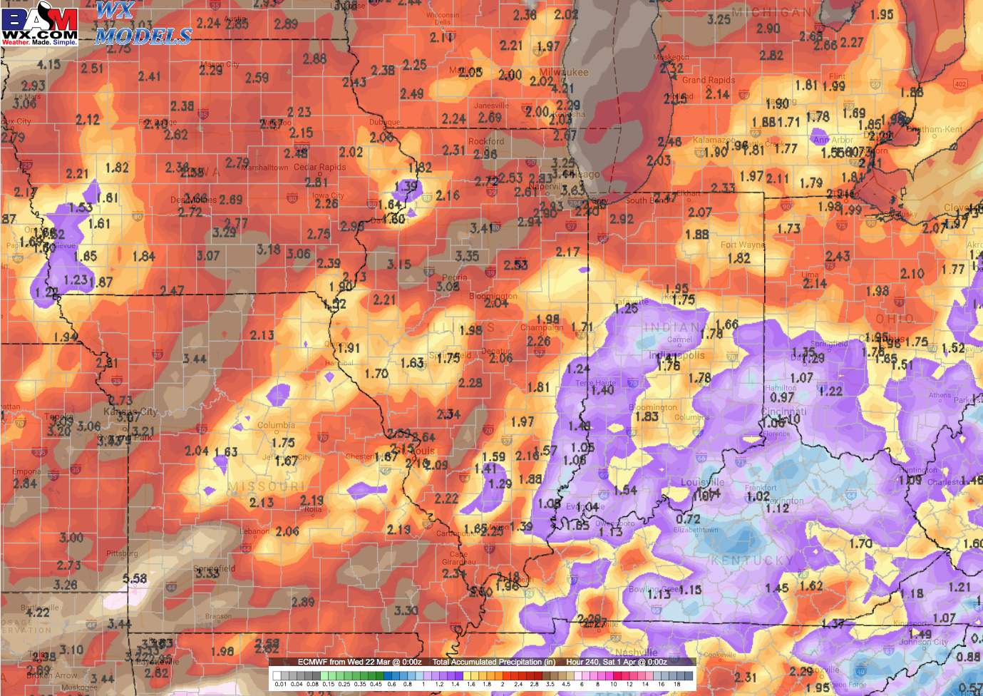
The pattern truly gets very active really starting Thursday and beyond…here’s a glance at the latest European 10 day rainfall totals across the Midwest…we do think there’s a good possibility some folks get in on 2-3″ of total rains as we head into April.
We count 3-4 troughs running into ridges over the next 10 days as well…translation: multiple shower/storm chances as we move into next week just so you’re aware. We see this same pattern carrying over well into April given how active the Pacific Jet is.
Confidence and Risk:
- High confidence we are cooler than normal today with mostly sunny skies and northeast winds.
- Above average confidence in a scattered shower/storm threat Thursday afternoon into the evening lifting north off of a warm front.
- High confidence we are very wet this coming weekend as a low pressure sweeps through bringing widespread showers and thunderstorms.
- High confidence we turn above normal in the temperature department over the next week on average.
Today’s video (6 min):