Key Points – Monday, May 1, 2017:
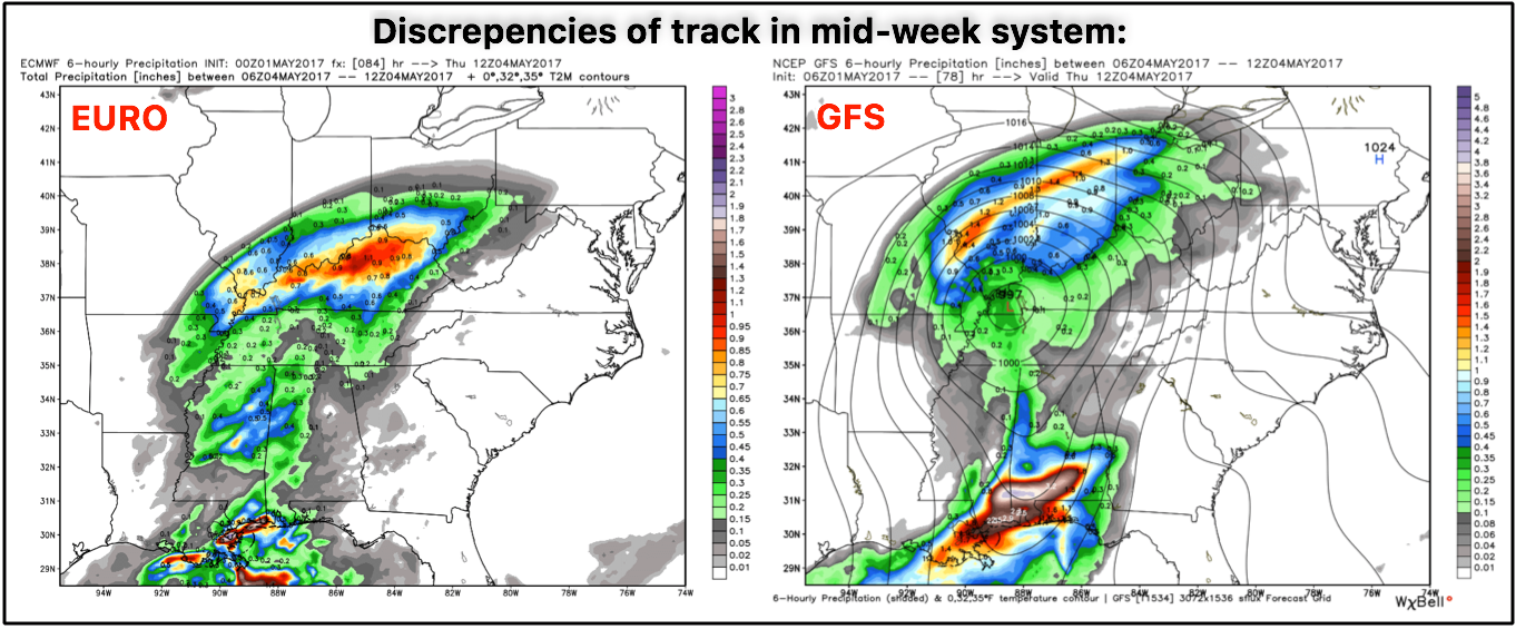
Synopsis: Good Monday morning, we hope you all had a wonderful weekend! Today we discuss the incredible rainfall totals over this past weekend as well as the on-going scattered showers moving through as the low pressure system finally moves off to the east through Tuesday morning. Tuesday we see some clearing into Wednesday morning before our next rain chance approaches from the southwest. We do have discrepancies between the GFS and European models about how far north the low pressure tracks as we discuss in the video, and then our next rain chance doesn’t move in until the weekend. Overall, it will be quite chilly through the first half of May in the Midwest, which isn’t going to give those getting out into the fields any favors. Have a great week!
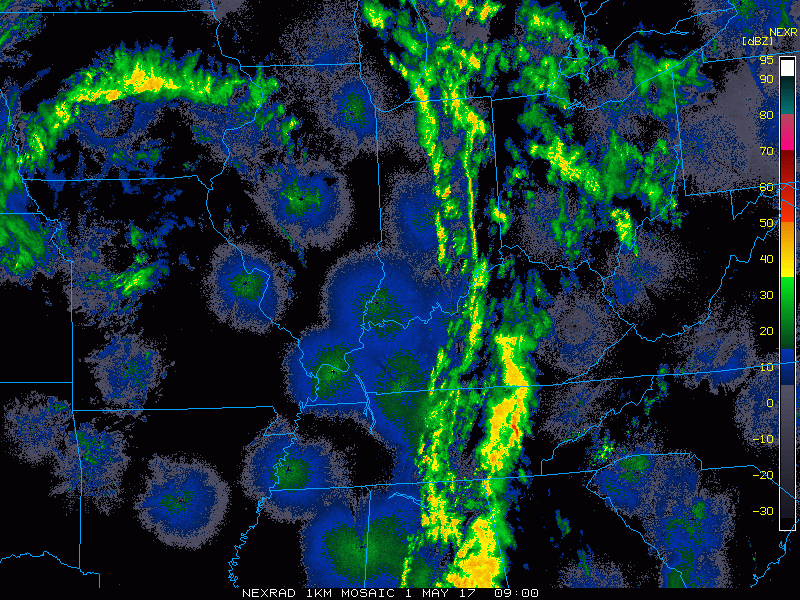
Current radar:
Scattered rain chances ~30-40% as the low pressure heads east today…some peaks of sunshine will be possible throughout the day as well. Folks across western and central Ohio will have greater rain chances and slightly higher rainfall totals as the cold front continues to advance east…can’t rule out a few thunderstorms here as well.
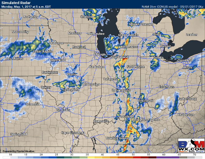
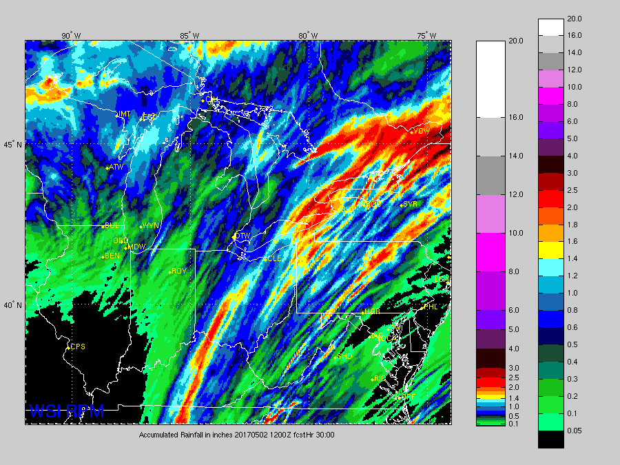
Total rainfall…0.1-0.25″ mainly expected in isolated showers across IL/IN, could see 0.5-1.0″+ across western to central Ohio with those heavier showers.
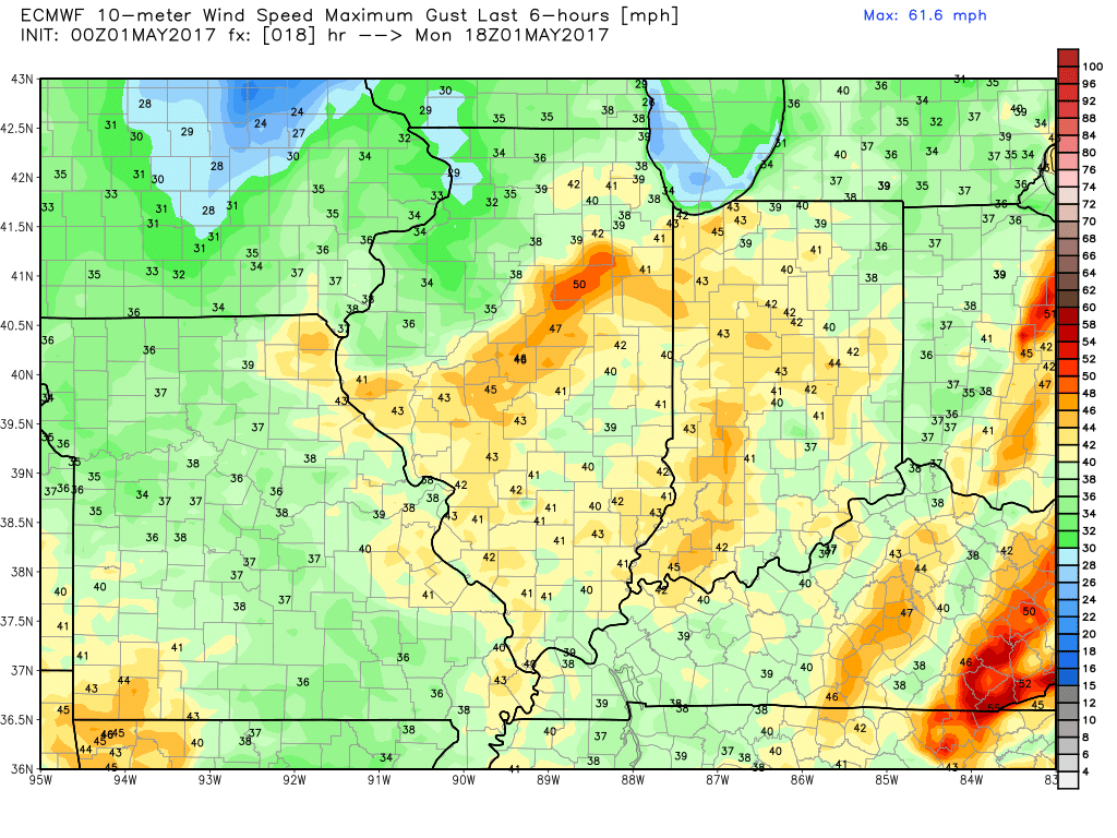
Windy today into Tuesday as well with gusts topping 40mph possible…wouldn’t be shocked to see a high wind advisory issued.
Next chance for rain comes Wednesday into Thursday this week…however, we have some discrepancies amongst our top models in how far north the track goes. Confidence right now I’d say is below average at this time in the exact details…will update on this often.
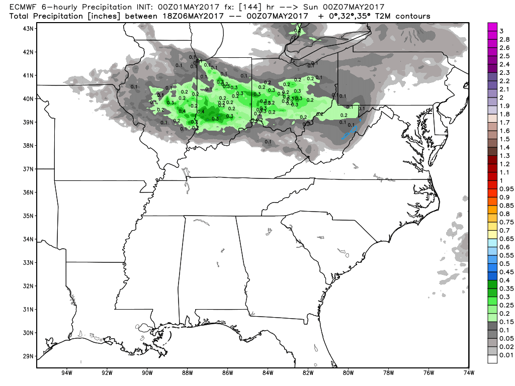
Fairly dry on Friday into Saturday morning, before the next rain chance afternoon on Saturday moving north to south.
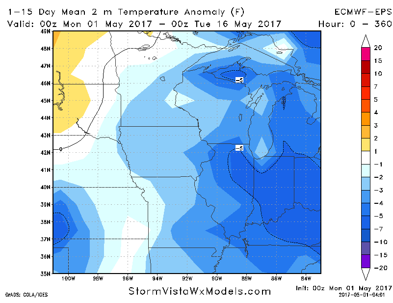
Much cooler pattern settles in through the first half of May across the Midwest, this results in a lot of highs in the 50s and lower 60s for this time of year. This also means lows creeping into the 30s and lower 40s are also possible.
Confidence and Risk:
- Above average confidence of scattered showers today as the low pressure continues to trek east across the Midwest.
- Below average confidence in the exact track of the low pressure mid-week.
- Above average confidence we are quite windy today through Tuesday, with wind gusts topping 40mph possible.
- Average confidence we see a disturbance move through Saturday bringing additional rainfall.
- Average to above average confidence overall we are cooler than normal as we head into the first couple weeks of May.
Today’s video (7 min):