Key Points – Thursday, March 2, 2017
Synopsis: Good Thursday morning, and thanks for checking out the latest forecast update! Today we discuss the wintry weather forecasted to move through later tonight through the overnight and another wave moving through late Friday night into Saturday that brings another chance for some snow showers. We also discuss an increased chance for showers late weekend to early next week and then another cold front coming through Tuesday that brings another decent shot for gusty winds and thunderstorms. Otherwise, temperatures are largely above normal, once again, for the 1-2 weeks across the Midwest. New JMA weeklies came out this morning with a very warm look for March, which would be no surprise to us, we dig deeper into the long-range later this morning so be on the lookout for an additional update. Have a great day!
Models are still struggling a little bit with the wave of energy moving through today into Friday morning, our forecast still calls for snow showers and even snow squalls at times especially across Zones 1/2. The energy looks to move off to the east by lunch time Friday, allowing for skies to clear for some afternoon sunshine.
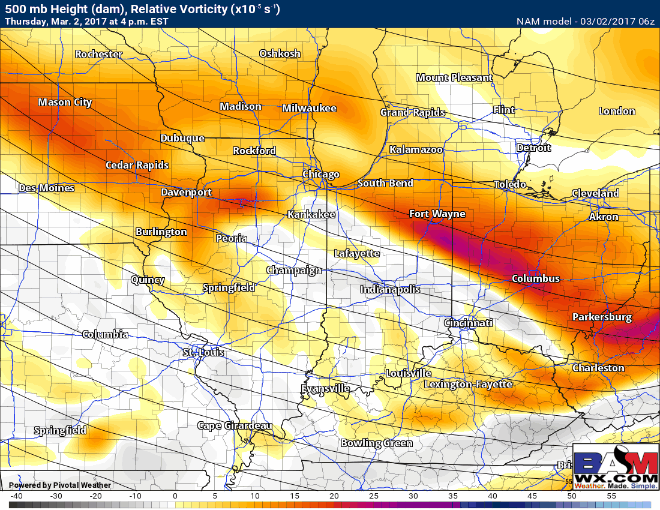
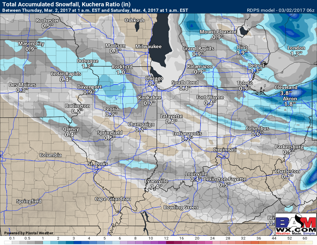
In terms of snowfall accumulation, a dusting to a coating is the forecast, a few slick spots possible on untreated surfaces as well as temperatures dip down into the 20s overnight. Where the snow squalls set-up, slightly higher accumulations could be possible, but these will be very isolated in nature and will not be very widespread.
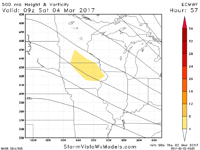
We are watching for another wave of energy to move through Friday night into Saturday morning that looks to bring a brief shot of snow showers to the Midwest. Temperatures rebound very quickly on Saturday as high pressure to the east ushers in warmer weather, so expecting this to be a low-impact event.
Monday night into Tuesday we are watching for another cold front to sweep through the Zones, bringing increased chances for showers and storms, even some gusty winds. A strong storm is not off the table at this time, but confidence is low…it’s something we will be monitoring closely heading into this weekend.

In terms of precipitation over the next 10 days, we have a growing concern for dryness especially across our western Zone locations heading into March.

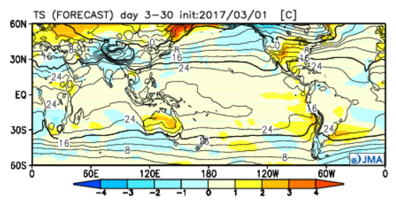
New JMA weeklies came out this morning, overall it’s a very warm forecast into March which should be no surprise as we’ve been mentioning this for quite some time. We discuss more on this in the long-range later this morning, as well as the latest precipitation trends as we head into spring.
Confidence and Risk:
- Above average confidence in snow showers to snow squalls tonight into Friday morning, especially across Zones 1/2.
- Average confidence on a brief shot of snow showers Friday night into Saturday morning.
- Average confidence on showers and storms, even gusty winds in the forecast early next week as another cold front sweeps through the Midwest.
- High confidence we are largely above normal in the temperature department as we dig deeper into March.
Today’s video (7 min):