Key Points – Friday, March 17, 2017:
Synopsis: Good Friday morning! Today we discuss the current showers and wintry mix moving through the Midwest, where we think a few slick spots are possible through late morning, the weekend forecast as well as a very active pattern ramps up next week in the weather department. Have a wonderful weekend!
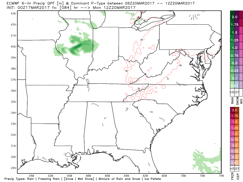
Latest glance at radar this morning…a little wintry mix continues across NE IL into S MI and IN. A few thunderstorms moving east across IL will be possible today as well.
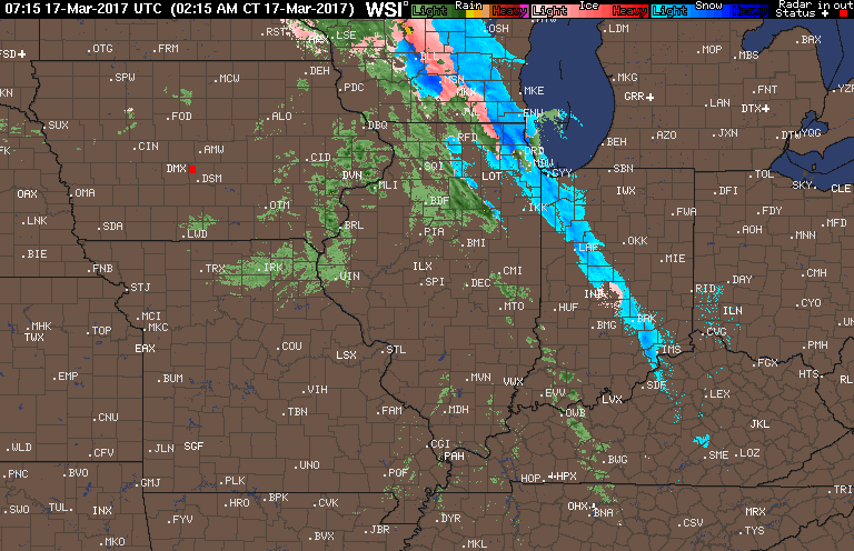
Here’s our latest thoughts on where a few slick spots will be possible through late morning…otherwise we warm quickly throughout the day and turn to all rain.
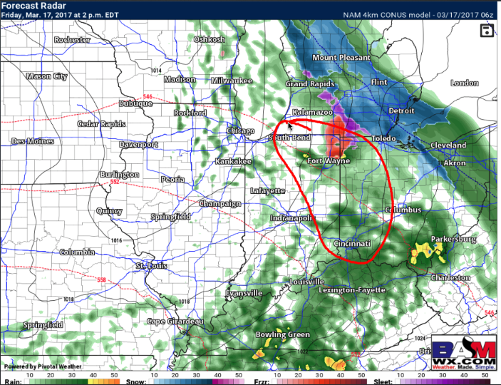
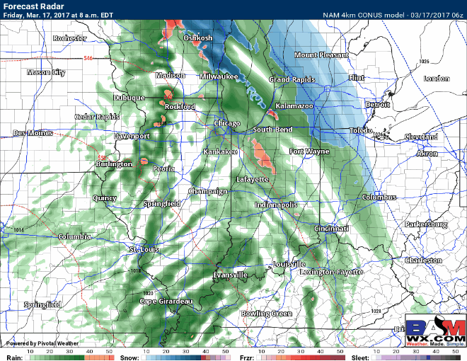
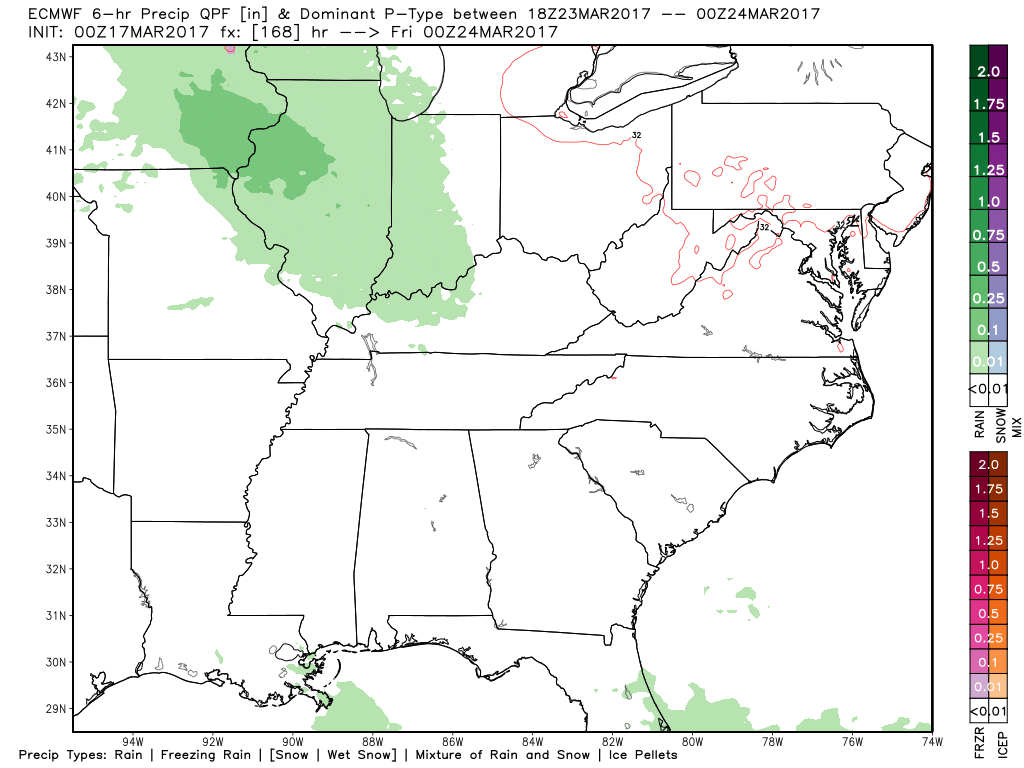
Simulated radar of remaining showers (even a few thunderstorms with some small hail possible) later into Friday into Saturday…as we get into Saturday I think the showers are mainly confined to southern Michigan into the northern half of Indiana into western Ohio. Expecting some sunshine to breakthrough across eastern Iowa into Illinois on Saturday.
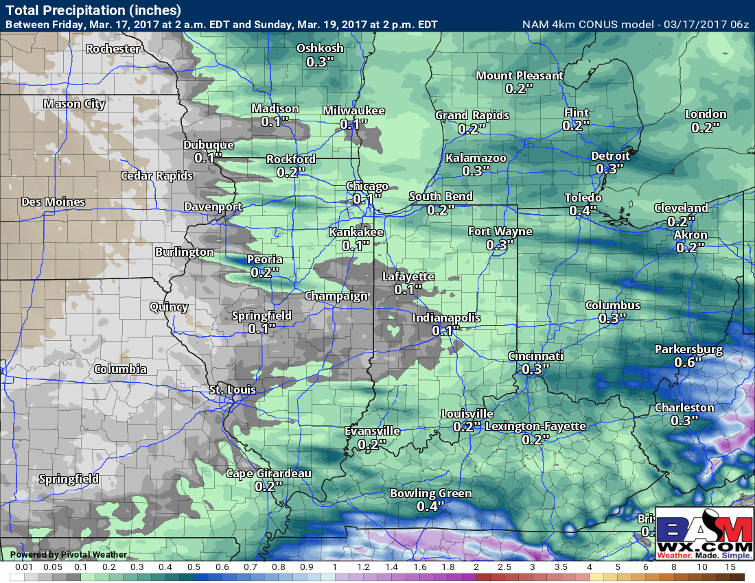
Thoughts on total rainfall haven’t changed…0.1-0.3″ is expected.
Showers early next week…can’t count out a few storms either Monday into Tuesday as a disturbance rides around the periphery of high pressure.
High pressure and nicer conditions set in mid-next week…the disturbance that really has my attention still is late next week as we have our trough running into a ridge scenario being forecasted by our models. Keep this timeframe in mind, confidence is low on the call for strong storms, but data is starting to hint at some potential here.
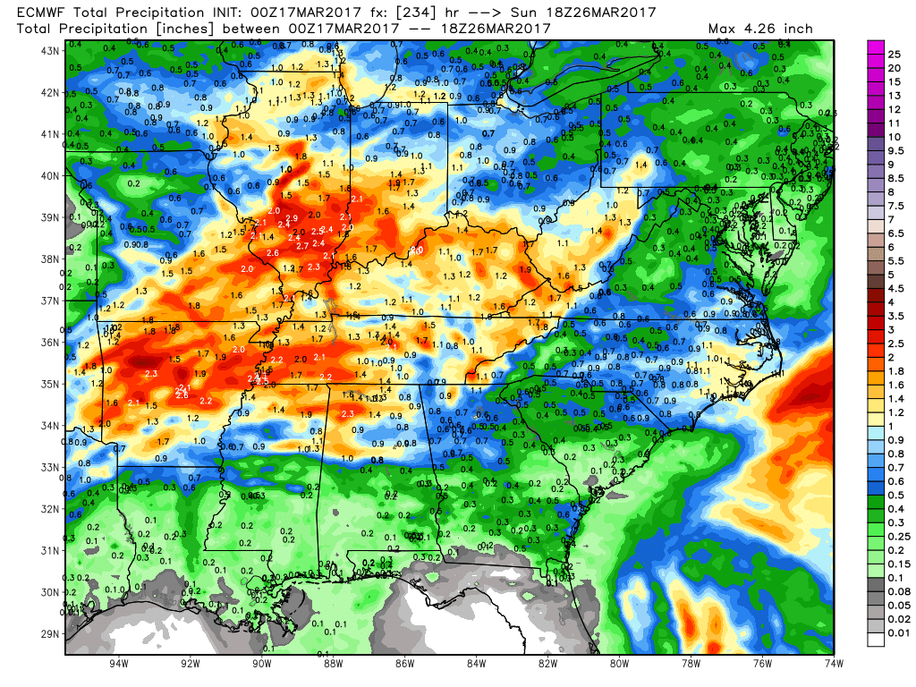
Total precipitation over the next 10 days says one constant thing…it’s very active.
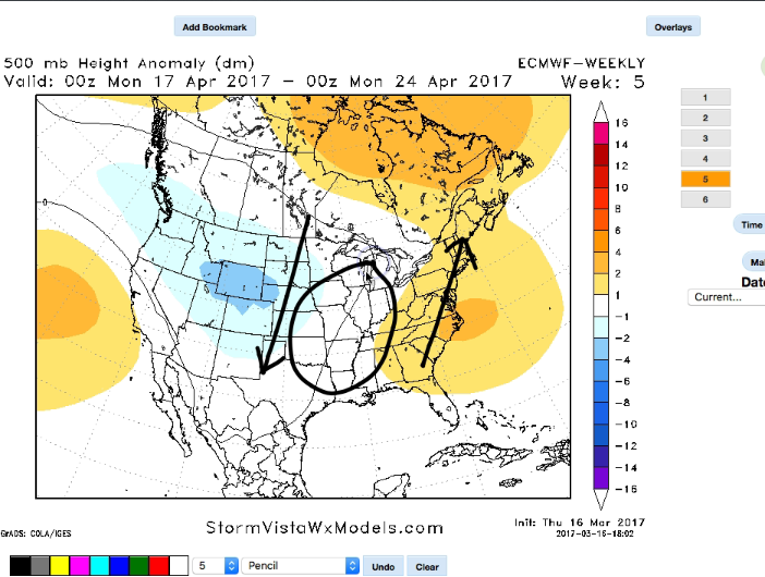
When looking into the long-range with a new set of European Weeklies, this active pattern doesn’t want to let up. Our latest thoughts are we stay active into late March into April with our trough/ridge scenario…so we highly encourage staying up-to-date with our forecasts daily this time of year.
Confidence and Risk:
- Above average confidence in the timing and forecast of our remains showers and wintry mix across the Midwest today into Saturday.
- Above average confidence in our forecast of 0.1-0.3″ of total rainfall through Saturday.
- Above average confidence we see some sunshine and mild temps this weekend across the Ohio Valley.
- Above average our active pattern continues into next week with multiple chances for storms.
Today’s video (6 min):