Good morning and thanks for checking out the latest information about this upcoming major winter storm! For more detailed information throughout the storm and beyond, inquire about our daily zone forecasts! The video below details the system in more detail!
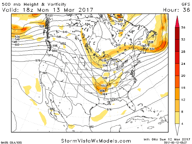
We are tracking a piece of upper level energy moving through the flow and where this piece of energy tracks will help dictate where this storm will exactly go. Watch the southern piece of energy move from Missouri right up the Eastern Seaboard – a classic track for Northeast snow!
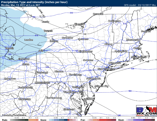
This will be a multi-faceted storm complete with heavy snow, strong winds, and even some coastal flooding. Here’s a look at the latest GFS model in terms of a general breakdown of timing. Heaviest snow and greatest impacts will be from early Tuesday morning through the afternoon hours.
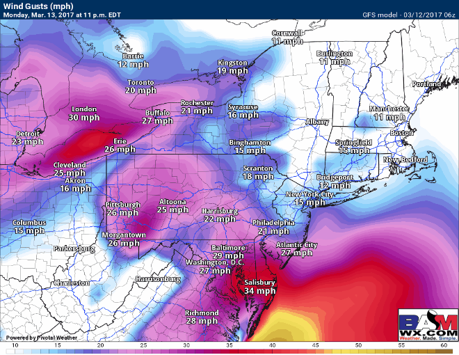
Winds will also create blizzard conditions at times along the coastline gusting to 60mph through the day Tuesday! This can lead to scattered power outages in conjunction with heavy wet snow near the coastline.
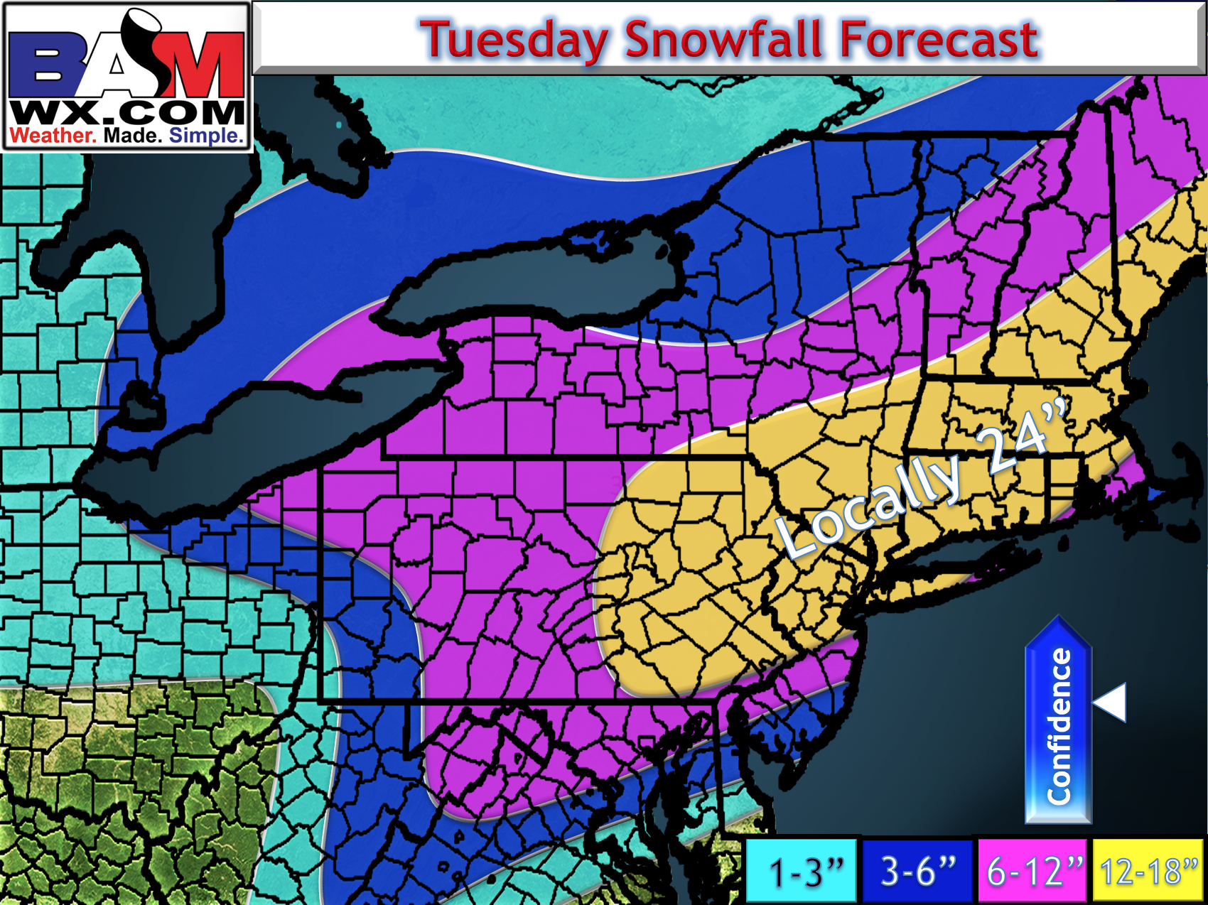
Snowfall looks impressive with this one. The only exception could be in southeastern New England where some mixing remains a possibility. Overall I expect this to be a large snowstorm (perhaps the biggest of the season for some). Here’s the latest snow map.
*Risks to the forecast*
- Where does the mixing line set up? This will dictate snowfall amounts from coastal NJ across Long Island and into southeastern New England. More mixing will mean less snow. Less (or no) mixing will put most areas at risk for more snow.
- Where does the banding set up? Typically in these storms were see a main area of intense, heavy snow, then also see a “deformation band”, or secondary area of snow to the northwest. Where this sets up will be crucial to nailing down snowfall amounts.
Thanks for checking this out and have a wonderful day! ~ Meteorologist Ed Vallee