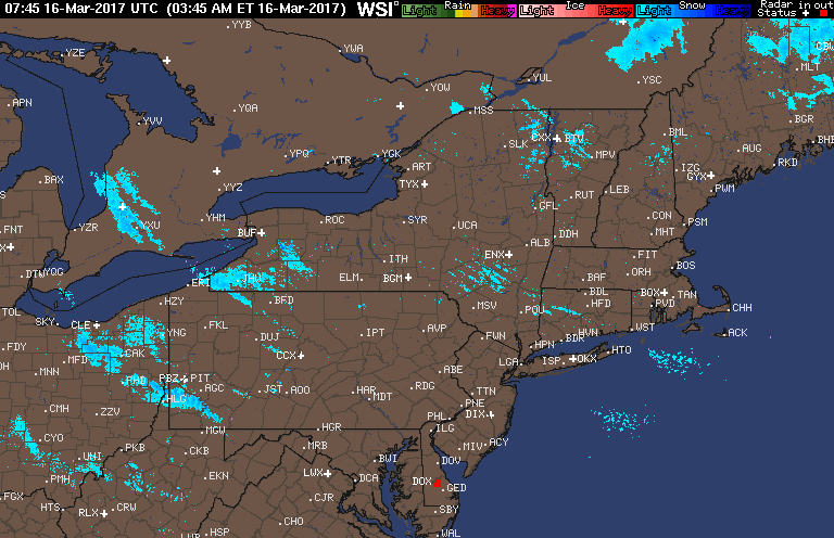
Good morning! Snow has finally ended across much of the region after an incredible storm for many areas. Some in northeastern PA and central NY ended up with over 30″! Here’s the latest radar with only a few snow showers ongoing across Ohio and PA.
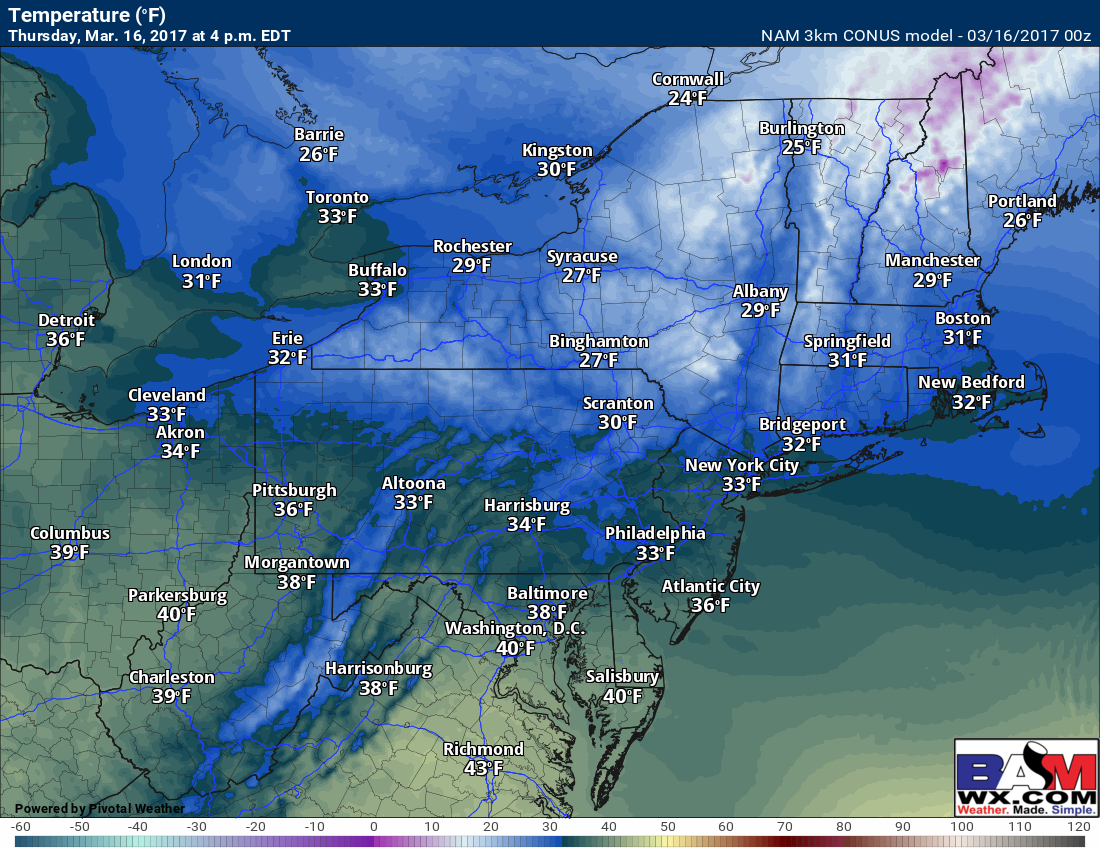
Today will be a cold, but dry day with temperatures only reaching into the lower 30s near the coast, upper 20s across the interior Northeast, and low to mid 30s in western PA and eastern Ohio. Approximate high temperatures for the day:
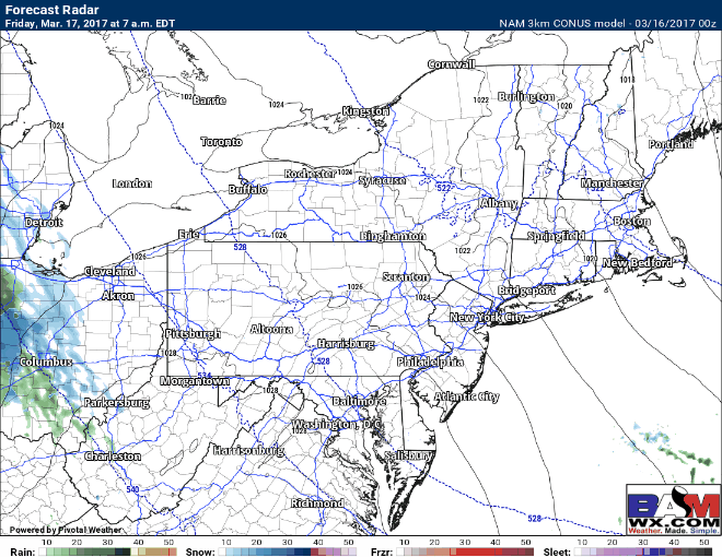
Our attention then turns to the next system coming out of the Ohio Valley. This will bring some mixed precipitation Friday afternoon through Saturday night across the Northeast. I’ll explain more in the video below regarding timing and precipitation type.
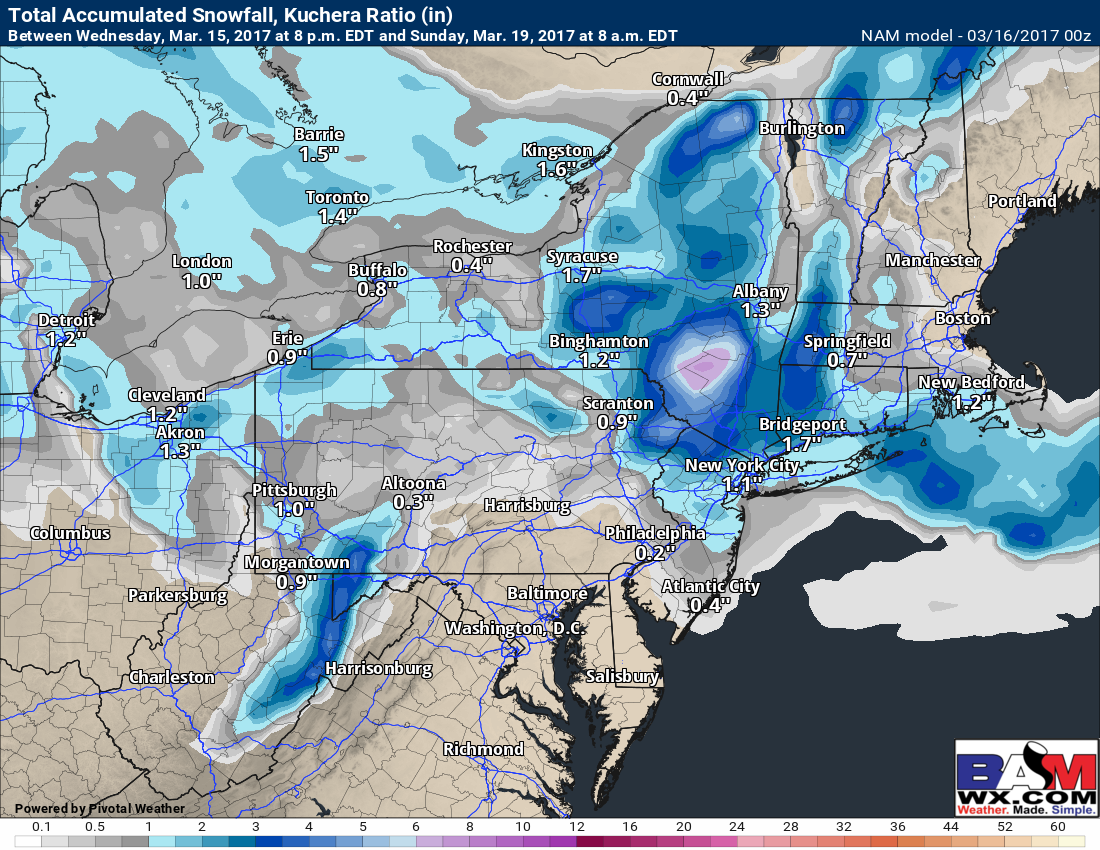
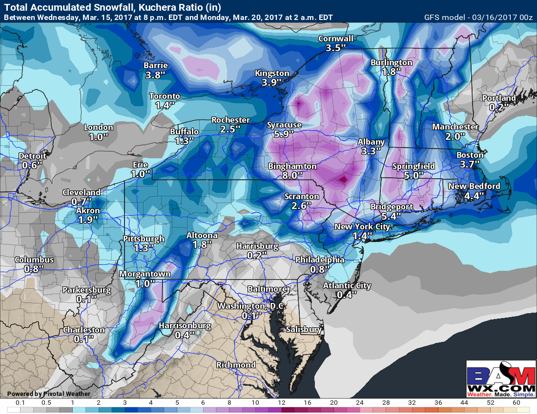
Total snowfall looks to be minimal and mainly on grassy surfaces during the day. At night, some roads can get slick. Here’s the NAM and GFS model snowfall forecast. Notice there remains some uncertainty in how fast the area of low pressure strengthens. The GFS does this faster and snowfall is more robust as a result.
We are watching another weak system for Monday into Tuesday, but as of now it looks to be rain or a mix of precipitation with temperatures largely above freezing.
Confidence and Risks:
- High confidence on a drier day today into the first half of Friday.
- High confidence on mixed precipitation Friday afternoon-Saturday night.
- Moderate confidence on some accumulation, but data differs on how much exactly.
- Temperatures will be marginal this weekend with daytime highs above freezing. The best chance for any lasting accumulations will be at night outside the higher elevations.
- Moderate to high confidence on cooler than normal conditions lasting into next week.
The video below breaks it all down.