#CTwx #RIwx #MAwx #PAwx #NJwx #NYwx #OHwx Stormy Through Friday, Nice Weekend Coming! E.
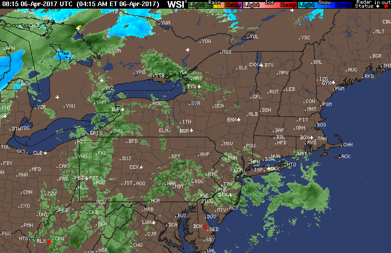
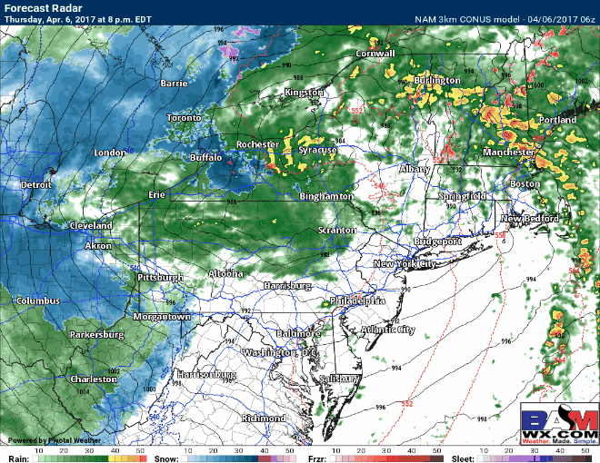
Good morning! I’m tracking showers and even a few rumbles of thunder across the Northeast this morning. Here’s the latest radar as of 6:30 AM.
Our QuickCast highlights both a stormy upcoming few days, but also a WONDERFUL weekend with plenty of sunshine and warmer temperatures expected!
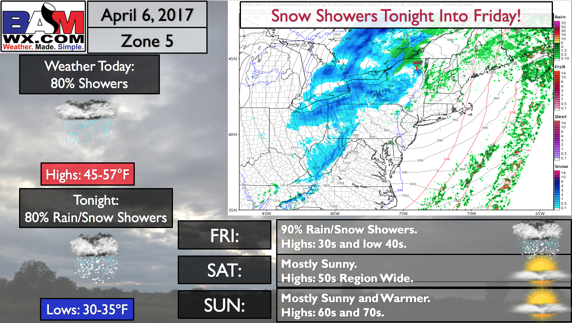
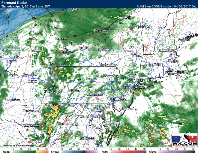
Rain and embedded thunderstorms will continue to develop and move through the Mid-Atlantic and New England today as an area of low pressure moves through. Here’s the simulated radar for the day.
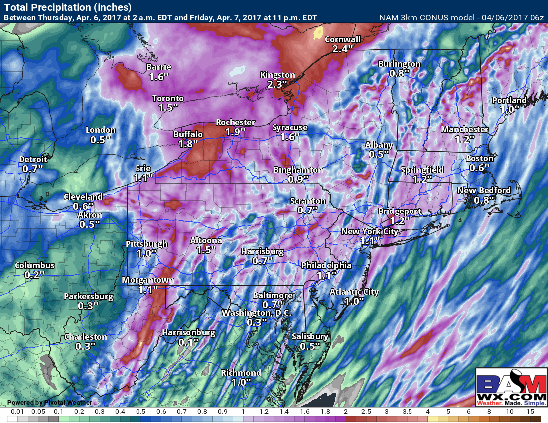
Through tomorrow, as the storm pushes through, rain will change to snow across Ohio and western PA while additional showers continue further east. Roads look to remain mainly wet, but certainly not what most want to see in April! I talk about how much snow will fall in the video!
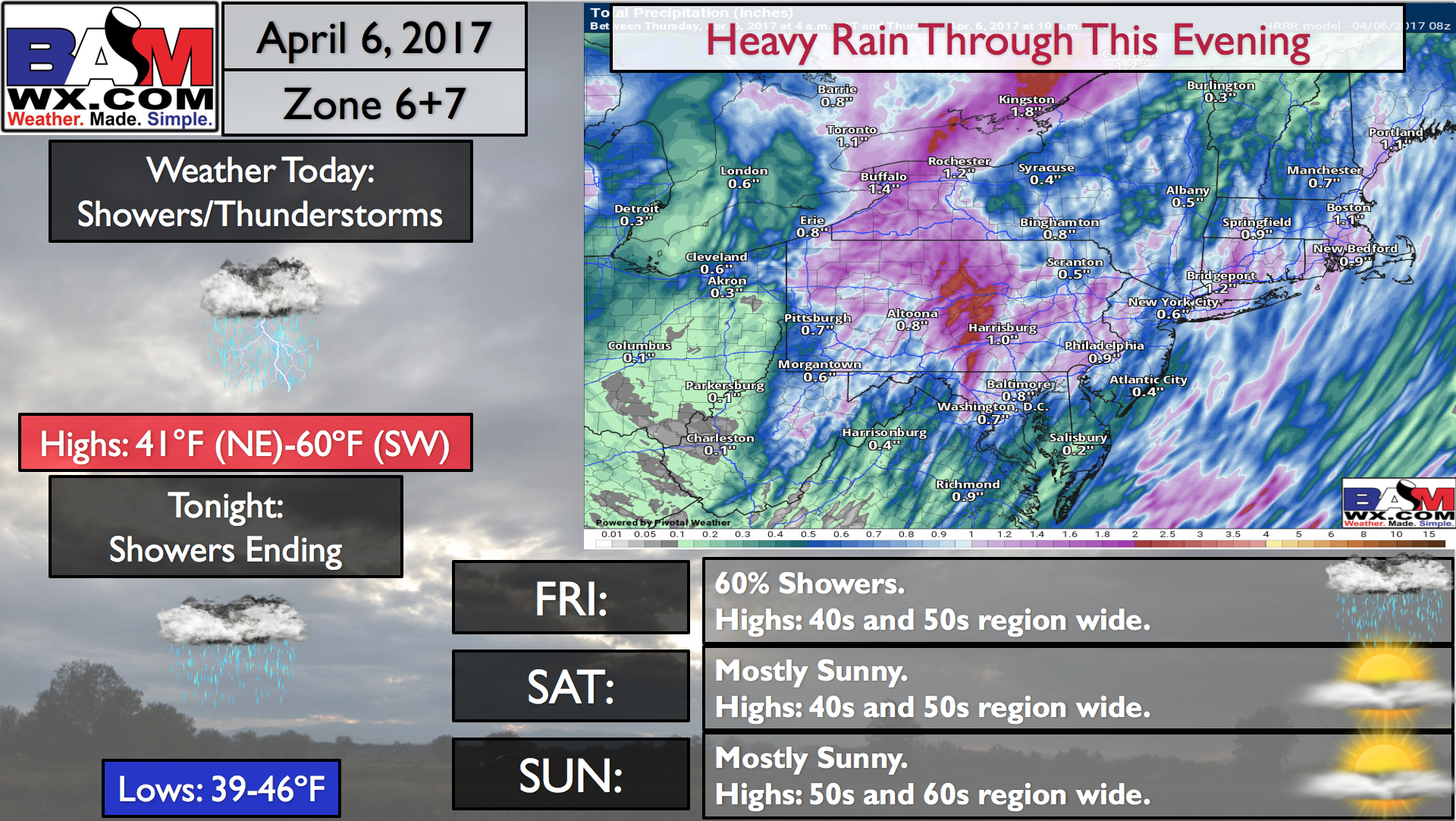
Total rainfall between today and Friday night looks to range between 0.75-2.0″!
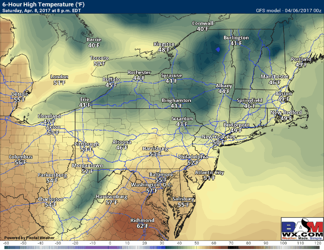
High pressure then moves in through early next week with warming temperatures each day. Look at these high temperatures Saturday through Tuesday!
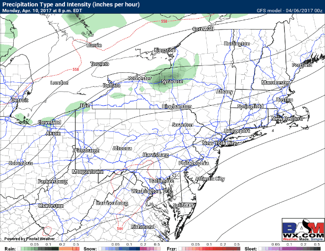
Our next chance for precipitation comes with a cold front Tuesday into Wednesday. This will also bring temperature back to near normal by the middle of next week.
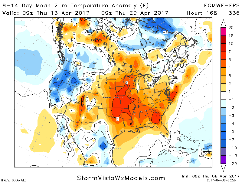
The following week’s weather looks drier than past weeks with temperatures near to slightly above normal. This will likely yield 50s and 60s for many.
Risks and Confidence:
- High confidence in rain through Friday for many, with some accumulating snow in the higher elevations of NW PA and West Virginia.
- High confidence in a very nice weekend with warmer temperatures and sunshine.
- High confidence on warmth returning for the beginning of next week with temperatures into the 70s.
- Moderate confidence on a cold front stifling warmth Tuesday into Wednesday perhaps bringing some showers along with it.
Today’s video (6 minutes):