Key Points – Wednesday, August 30, 2017:
Synopsis: Good Wednesday morning! An overall quiet week of weather continues across the region. We are watching areas of dense fog, and more fog will be likely tomorrow morning. The remnants of Harvey may bring heavy rainfall to the bootheel of Missouri late tomorrow through Friday, with a sharp northwest cut-off. It will also become quite breezy in southeast Missouri as well. Across the rest of the region, we will watch a weak disturbance moving from west to east Thursday night through Friday, bringing the chance for a few scattered storms, but many areas stay dry. More details in today’s video. The video also takes a look at the forecast heading through the Holiday weekend and the big-cold front that will move through next week. Have a blessed day, and let us know if you have any questions!
Today’s video (6:50):
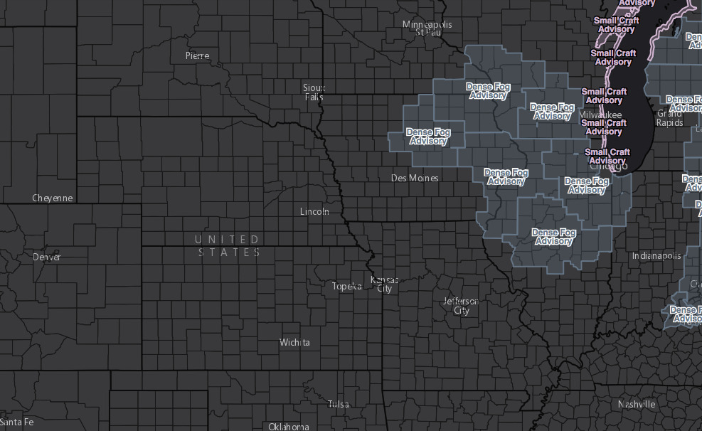
Dense fog advisories across northeast Iowa this morning, this should lift rather quickly between 9-10am CDT.
Still watching the remnants of Harvey to bring heavy rainfall to the boot heel of Missouri Thursday night through Friday. Exact placement is still tricky, as there will be a sharp cut-off between heavy rain and nothing. Posted below is the latest European model rainfall accumulation.

Wind forecast over the next 4 days:

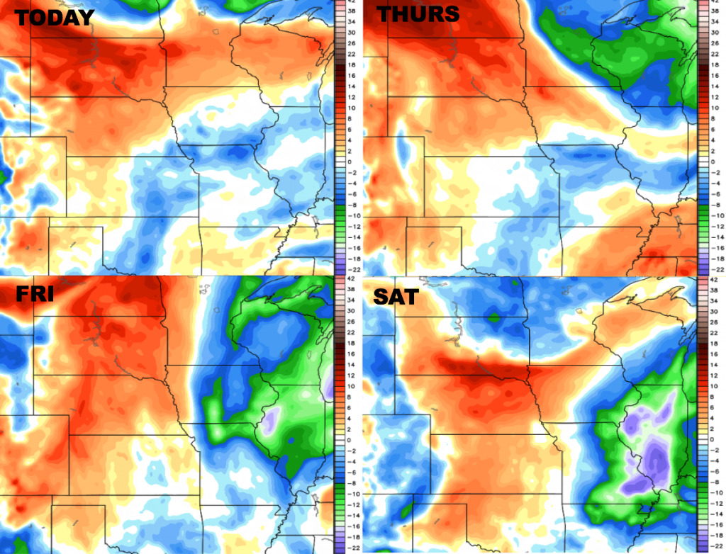
High temperatures over the next 4 days…briefly cooler north and east on Friday, then temperatures will warm through the upcoming weekend:

Low temperature guidance over the next 4 days:

Dewpoints from normal are shown below. Drier air continues across the eastern portions of the area with a bit more humidity west and north.