#AGwx #NDwx #SDwx #MNwx #WIwx Active and Cool This Week, Looking Into Week 1 of June As Well. E.
Key Points: May 23, 2017
Synopsis: Good Tuesday morning! We are tracking showers across eastern Minnesota and Wisconsin thanks to an upper level disturbance nearby. These will continue through the day today with showers and even a few thunderstorms capable of producing some small hail. Further west, dry time looks to continue across the Dakotas. Our next disturbance will bring showers and and a few storms to the Dakotas Wednesday night into Thursday, with active times continuing through the weekend. It doesn’t look like a washout, but the threat for showers looks to continue thanks to disturbances moving through the flow. Some drier trends look to occur north into week 2 as the storm track shifts south. Have a blessed day!
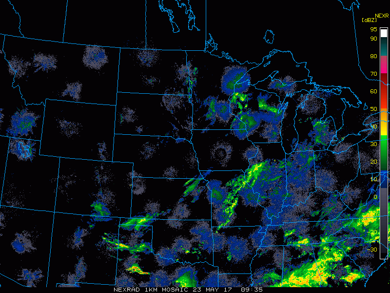
- Current radar shows the showers in eastern areas this morning.
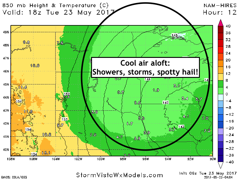
- Cool air aloft will continue the threat of hail producing showers and storms.
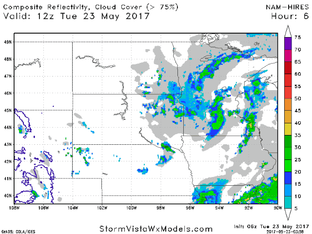
- This spotty shower and storm threat is shown well in our simulated radar product.
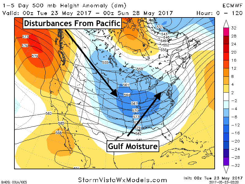
- The pattern this week looks to continue to feature shower chances and cool temperatures through the weekend thanks to a strong Pacific jet and upper trough nearby.
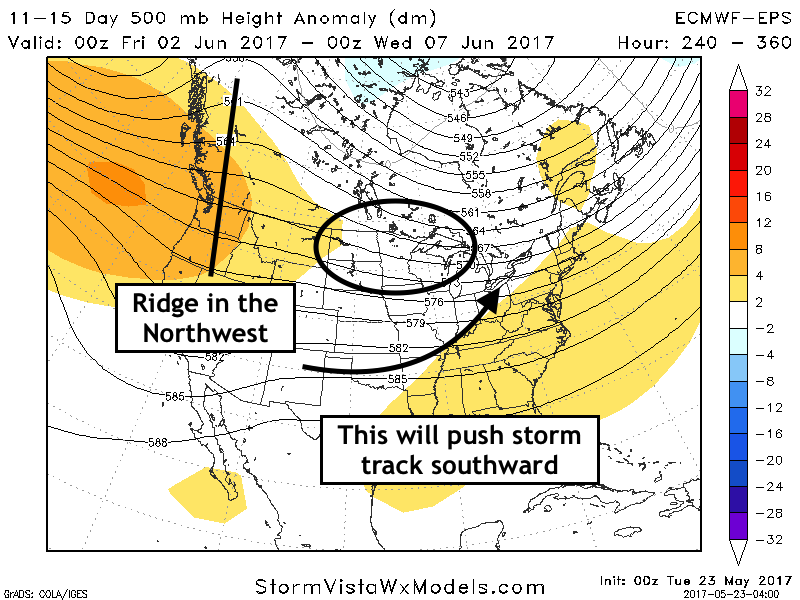
- Into week 2, the storm track looks to shift to the south and east of the region, leading to some drier times west. Here’s a look at our week 2 precipitation forecast.

- The week 2 pattern is shown below. Note the ridge in the Northwest, helping to push the storm track just south of the region.
Confidence and Risks:
- Above average confidence in multiple shower and thunderstorm chances this week, but not everyone will see significant rains – it will be very storm dependent.
- Above average confidence in cooler than normal conditions this week.
- Average confidence in drier times north and west in week 2 with cooler than normal temperatures continuing.
Today’s Video (6 minutes):