#AGwx #MNwx #WIwx #NDwx #SDwx Severe Storms Southeast Today, Cooler But Active Into Next Week. E.
Key Points: May 17, 2017
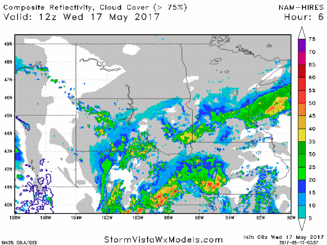
Synopsis: Good Wednesday morning! We are tracking showers and thunderstorms across southern South Dakota, Minnesota, and much of Wisconsin this morning as a slow moving frontal boundary remains across the region. Unfortunately, another round of severe weather is expected across southeastern portions of the region again today as another disturbance pushes through. The main threats with these storms will be large hail, gusty winds, torrential rain, and even an isolated tornado. This system pushes out tomorrow leaving much of the region dry and cooler. Another system pushes in Friday across southern areas with showers and thunderstorms, then another more expansive system looks likely this weekend especially east. Cool, active times looks to continue into next week as well. Have a great day!
- Current radar shows showers and thunderstorms across portions of the region this morning.
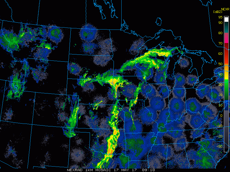
- These rains will push into eastern areas this morning. An additional severe threat will develop this afternoon and evening across eastern areas as well.
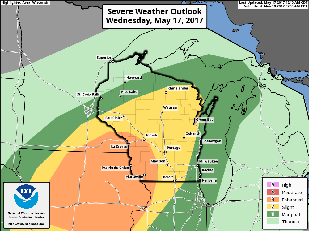
- The SPC has highlighted this threat with an enhanced risk of severe weather across Iowa, southeastern Minnesota, and portions of Wisconsin.
- Additional storminess is expected across the region Thursday night through the weekend as a slow moving frontal boundary sags south and east.
- Into next week, cooler conditions are expected with active times continuing. Here’s a look at our week 2 temperature forecast.

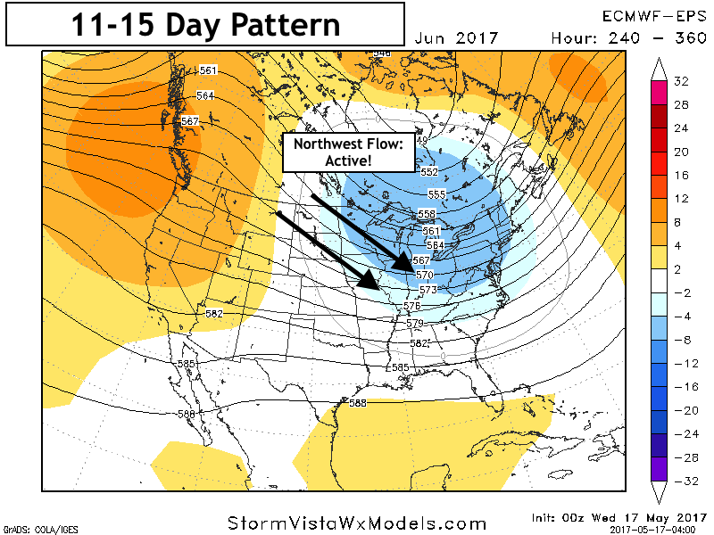
- Active times will also continue thanks to a northwest flow pattern setting up across the Plains.
Confidence and Risks:
- Above average confidence in thunderstorms this afternoon, some severe, in the areas discussed above.
- Above average confidence in an active pattern continuing this week, but exact rainfall is uncertain and will be storm dependent. Heaviest rains do look to occur in the south and east portions of the region.
- Above average confidence in cooler times developing toward the end of this week into week 2 along with more active times thanks to northwest flow.
Today’s Video (6 minutes):