*In this kind of pattern it’s crucial to watch every update including afternoon videos with the latest details*
Today’s video (7 min):
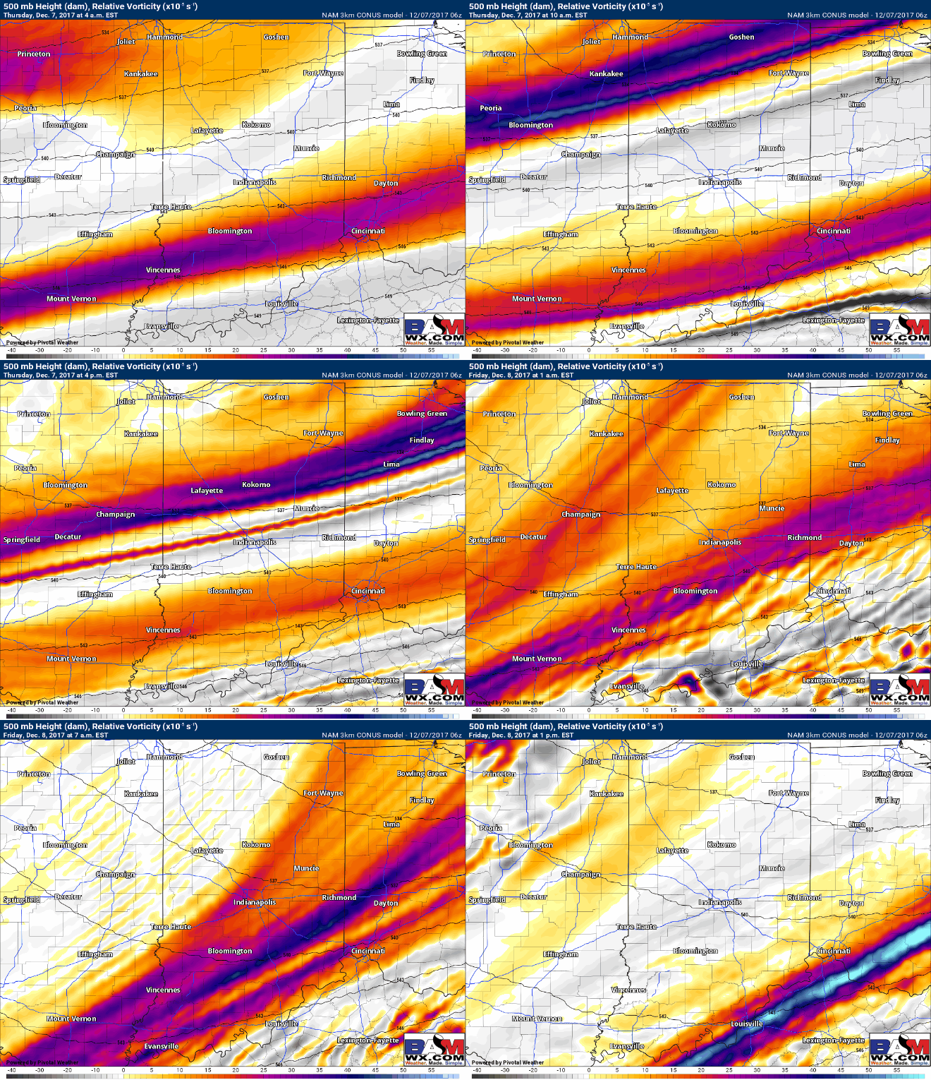
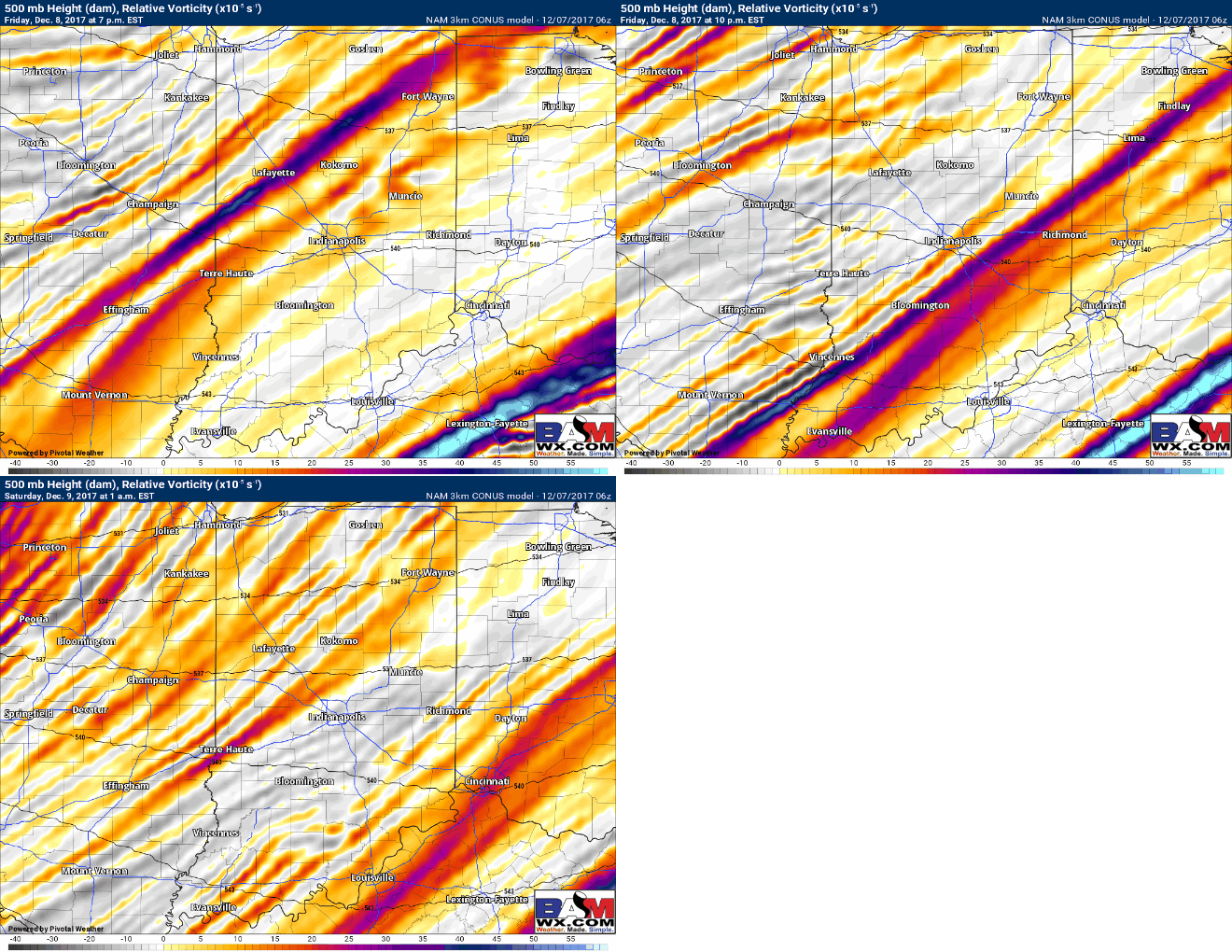
Will continue to see energy working south and east throughout the day into tonight from north to south, snow flurries and a few snow showers can’t be ruled out here despite the atmosphere being very dry aloft…check back this afternoon on this:
And again, watching another lobe of energy Friday afternoon ~4-10pm for to work northwest to southeast some additional snow flurries/showers will be possible mainly from Ft. Wayne/Lafayette to points to the southeast:
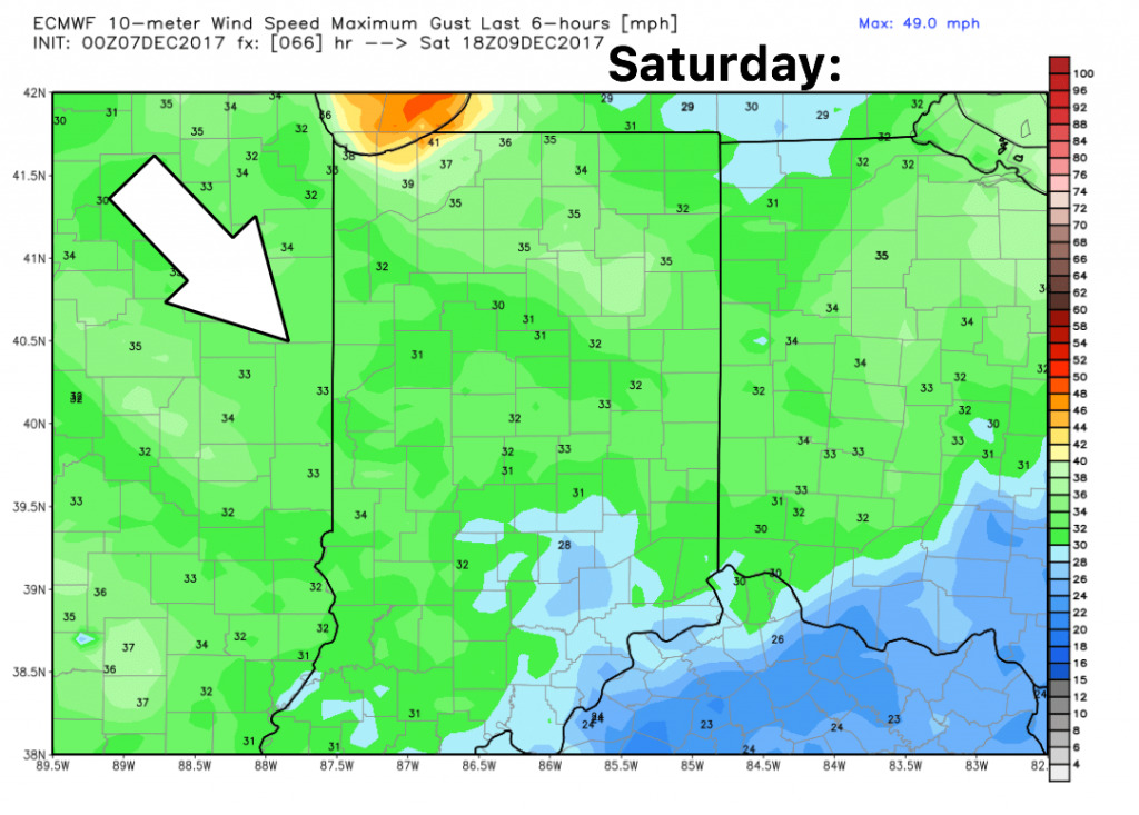
Guidance on wind for Saturday…expecting gusty conditions with winds out of the northwest at 10-15mph gusting at times to 30mph+
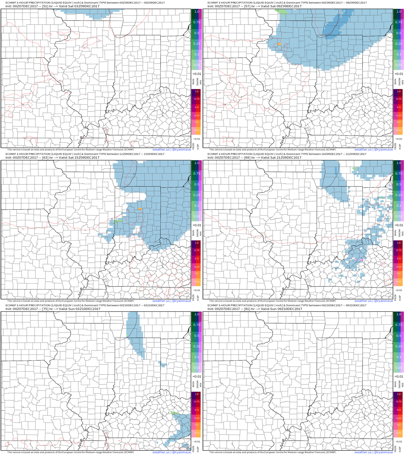
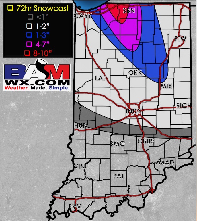
Here’s the latest guidance from the European showing the initial wave of snowfall and the lake effect on the backside getting those northwest winds fetching off of Lake Michigan. Folks to the southern third of the State likely see very little impacts from this clipper system.
Latest thoughts on snowfall accumulation over the next 72 hours:
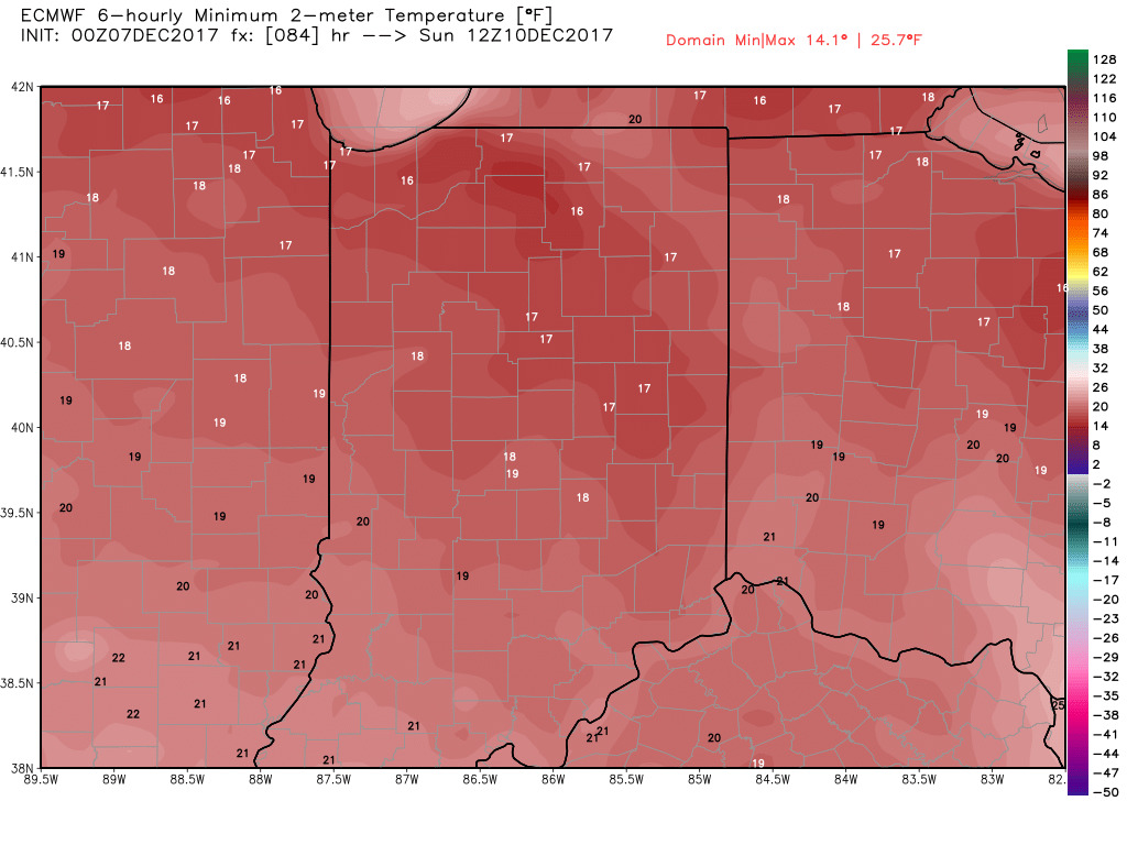
Very chilly temps waking up Sunday morning…we think these could be slightly underdone as well dipping into the lower teens possible…need to be watching for a flash freeze possible here as well on untreated surfaces:
