Video (5 min):
Good Thursday morning to everyone!
Most throughout Nebraska and Iowa are waking up to temperatures in the single digits and lower teens. Some will wake up to snow showers. Here is a look at the radar as of 6AM CST.
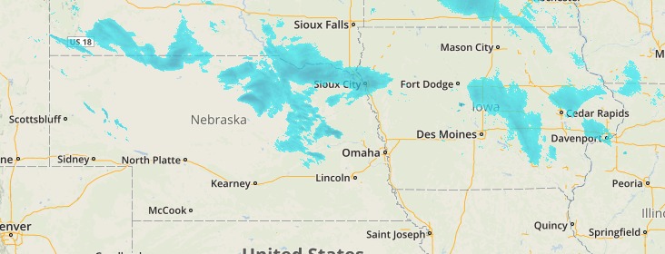
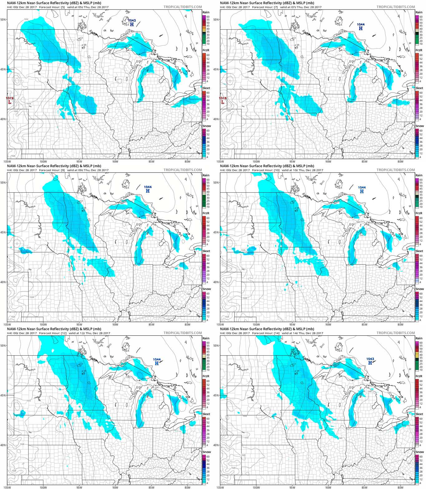
These scattered snow showers will continue through the morning hours.
The next system will move into the area tomorrow morning. This piece of energy has a better shot at producing accumulating snow for the area especially for Iowa. Just as that piece moves out Friday night, another shot of snow moves in on Saturday Morning which will give Northern Nebraska a better shot at snow accumulation. Most snow should work completely out of the area before mid-day on Sunday.
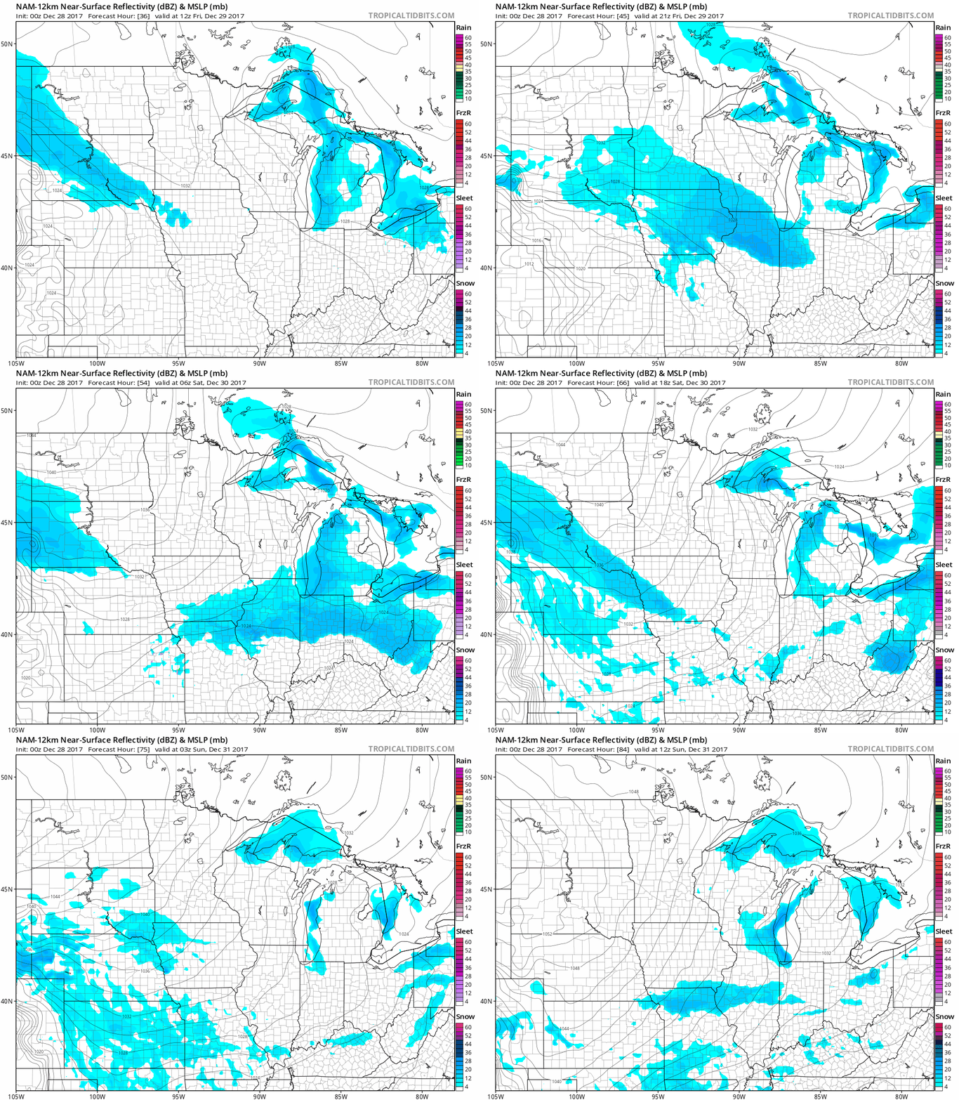
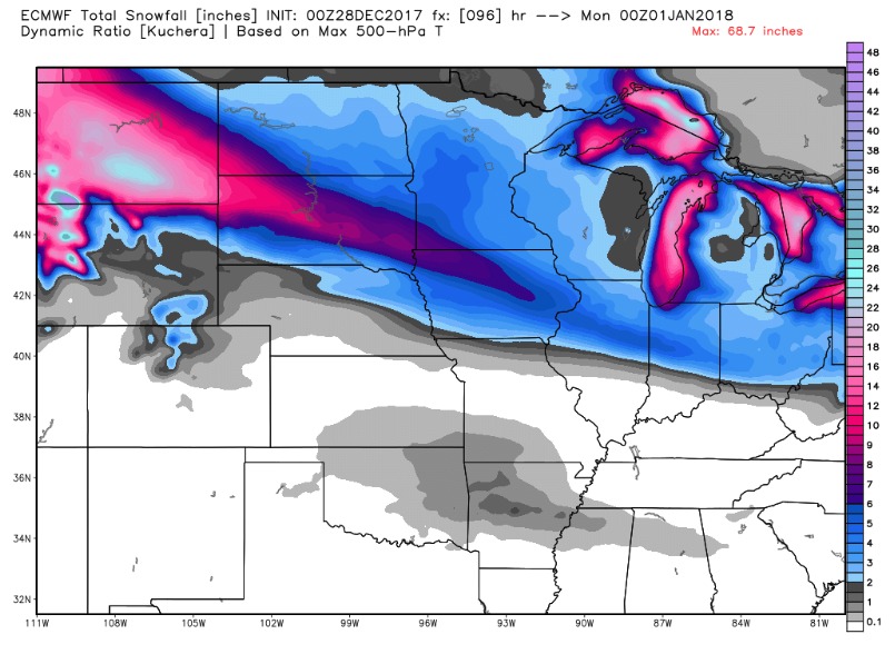
Overall, here’s a look at potential snowfall accumulation through Sunday. Iowa will see the brunt of the snow this week, with isolated 6 inch totals in the Northern and Northwest third of the state.
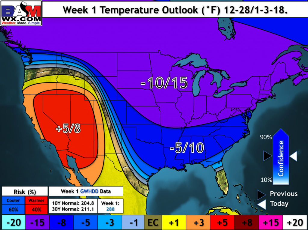
Behind these chances a true arctic air mass will work into the Central United States and produce bitterly cold temperatures early next week. Temperatures on Sunday and Monday morning will be below zero for both states. Overall, temperatures will be 10 to 15 below normal over the next week.
