Video:
Heavy rain still on the table for this afternoon into early tomorrow and a changeover to snow is looking more likely. Mid-Level forcing and upward motion is favorable for bands of heavy snow at times.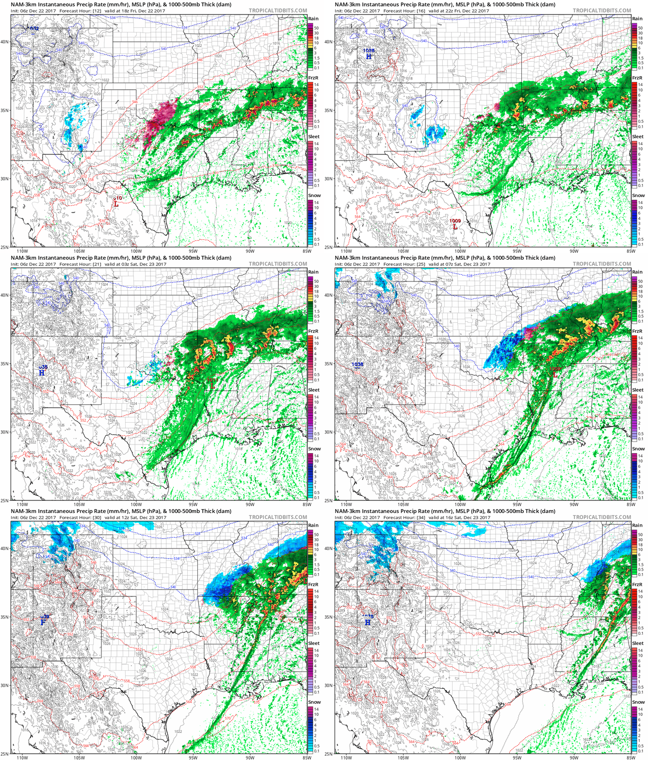
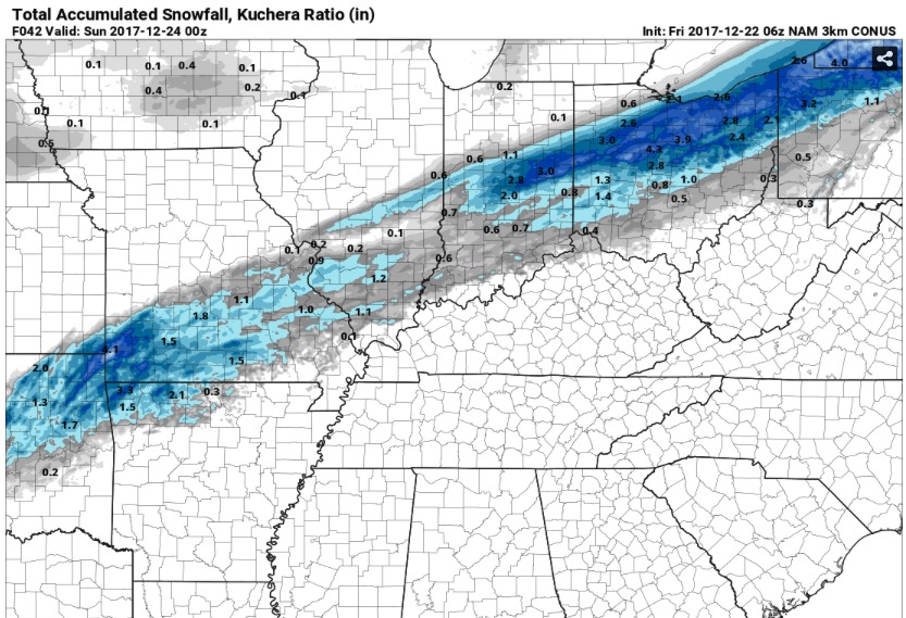
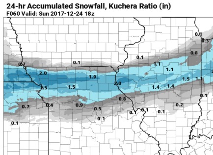
This will likely lead to some snow accumulation, especially on grassy surfaces. Snow will not stick to the pavement at first, but it could fall heavy enough at times to create a light coating. Overall, the hi-resolution NAM has a good handle on the event and show a general inch is possible in the southern third of the state with the potential for 1-3 inches in the southwest corner of Missouri.
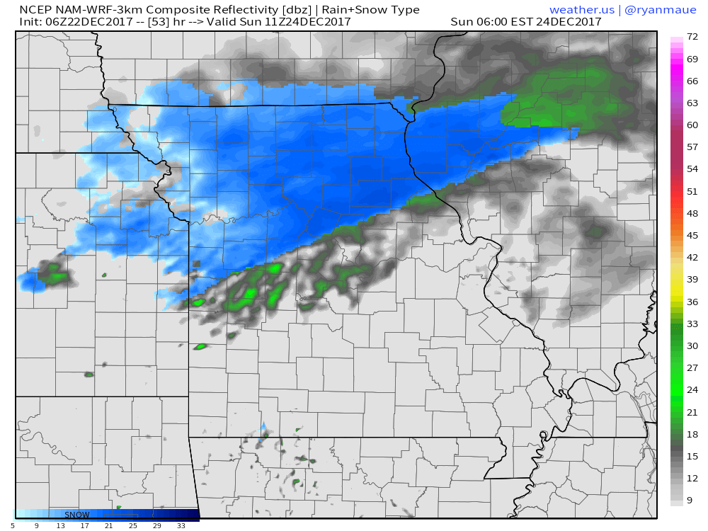
Another wave will track over the northern third of the state pre-dawn Christmas Eve. Given cold temperatures, high snow ratios are likely and an additional few inches of snow are possible
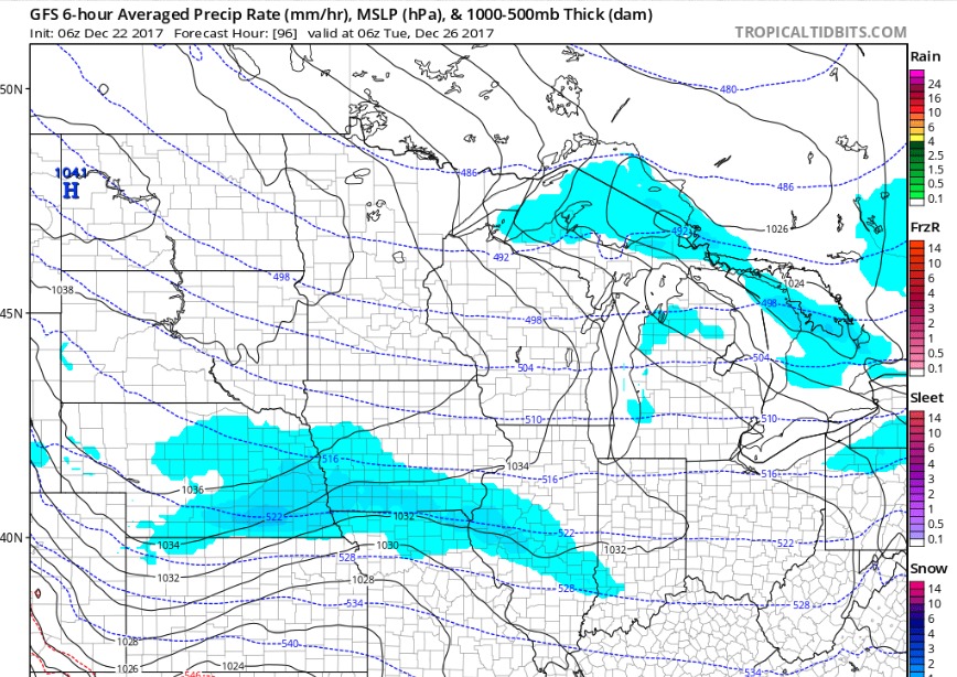
Finally, models have begun to be more aggressive with a piece of energy late Christmas night into Tuesday. We will watch trends closely for the possibility of additional accumulation.
