Video:
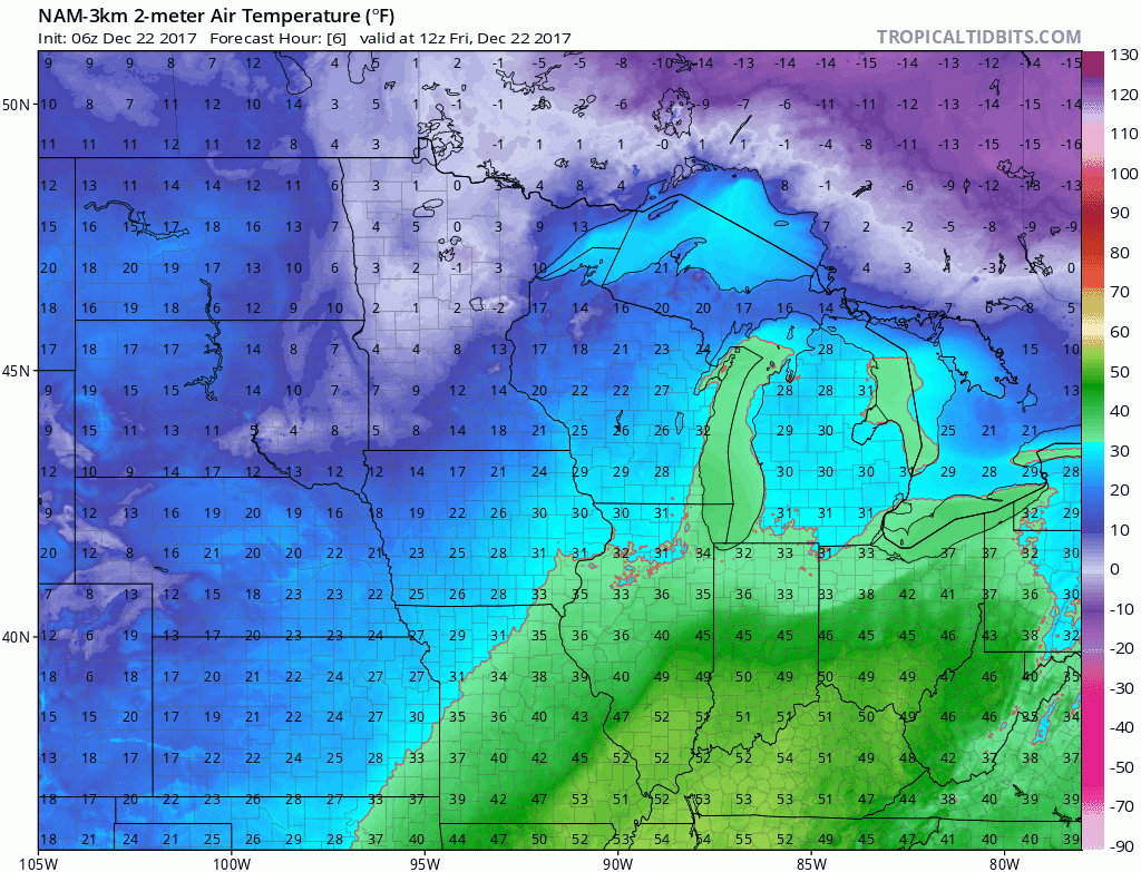
Frontal boundaries over the state will lead to a strong temperature gradient today. Mid-50s are likely in the southern part of the state, while colder air filters in from the north and west. The front will begin to move to the south and east overnight leading to much cooler temperatures tomorrow.

Rain and a brief changeover to snow will accompany these fronts. Would not rule out a grassy accumulation of less than one inch in areas that see that changeover. Heavy rain will impact the southern third of the state. (Timing: 7PM Tonight – 1PM Tomorrow)
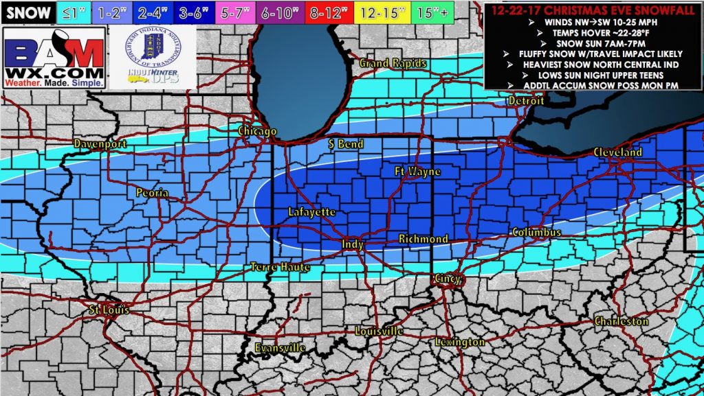
A light snow event for Christmas Even remains likely for Central Illinois. Snow accumulations of 1-2″ are likely. Timing looks to be between the pre-dawn hours and Christmas Eve afternoon.
