Video:
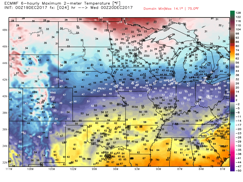
Expect another very mild day ahead. Forecast highs shown below:
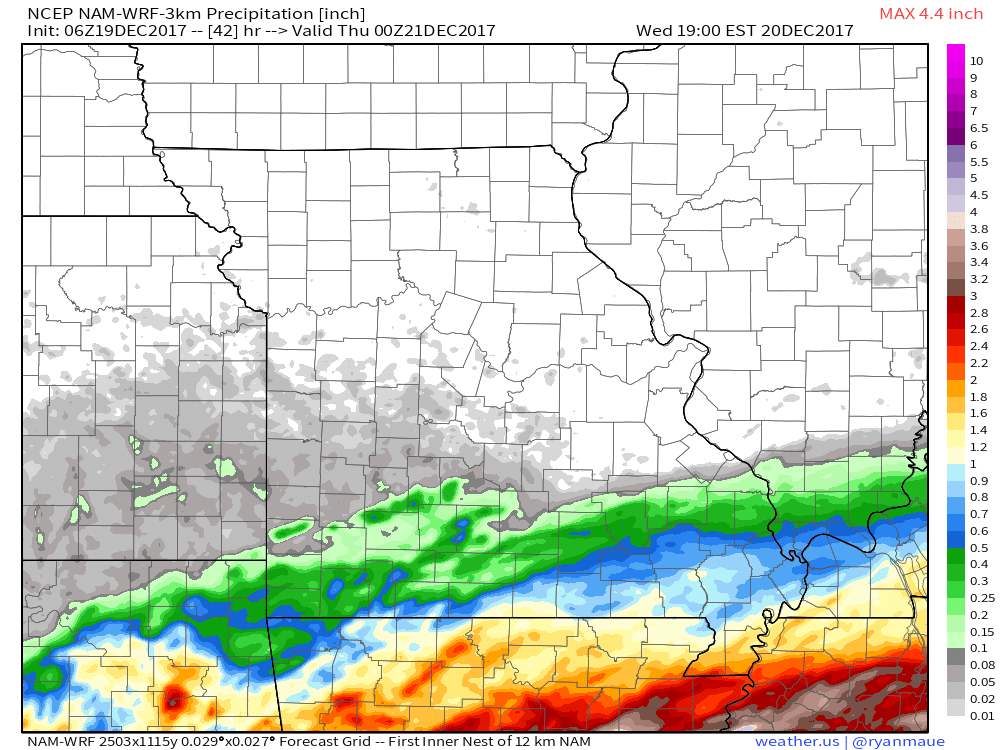
A system will bring some rain to southeast Kansas and southern Missouri tonight into Wednesday. Heaviest rain in the bootheel of Missouri. The rest of the region stays dry.
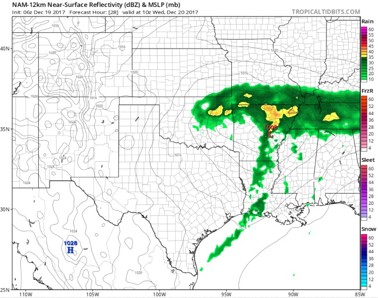
Sharp cutoff with this low pressure system. Areas in southern Missouri could see nearly 0.5″ of rain overnight tonight into Wednesday morning.
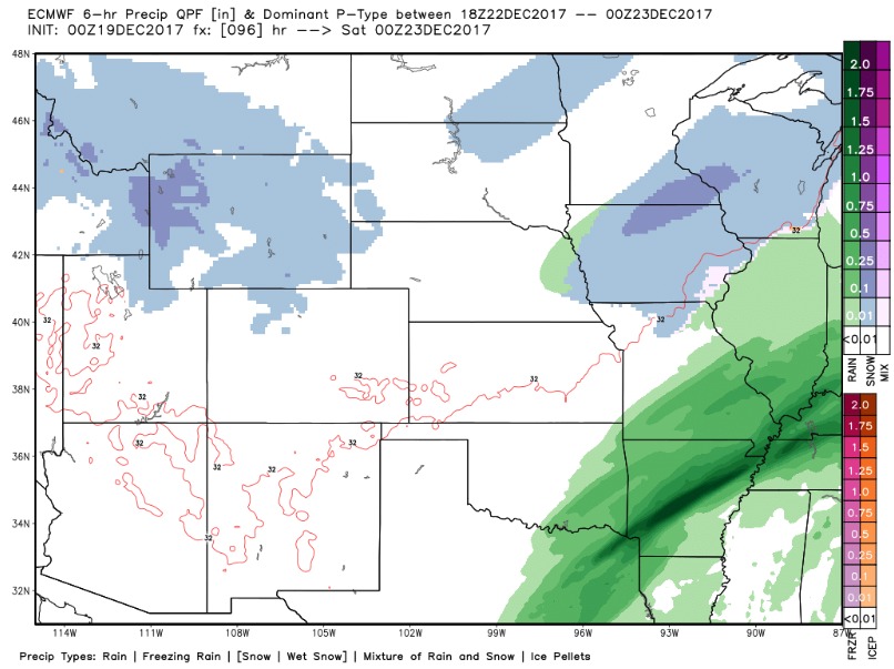
Our next system works in Thursday. The trend over the past several model runs has shows less snowfall across the Central Plains for the late week storm, but a few inches are still possible for areas of Iowa and Nebraska.
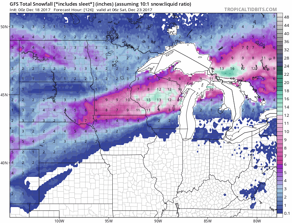
Current idea on snowfall totals…a 2-3″ swath possible across Nebraska into the northern half of Iowa Thursday…heavier totals in western Nebraska.
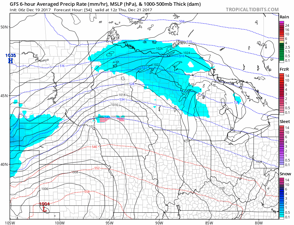
Another wave of low pressure will bring additional rains to southeast Missouri Friday afternoon/night, possibly some light snow on the northwest edge across Iowa/northern Missouri:
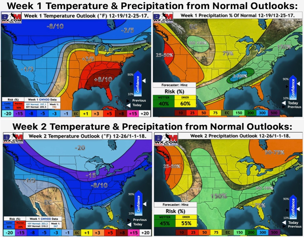
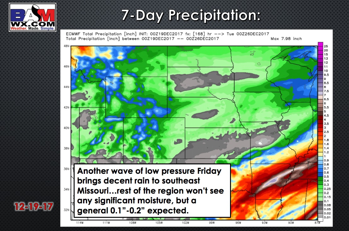
7-Day precipitation potential:
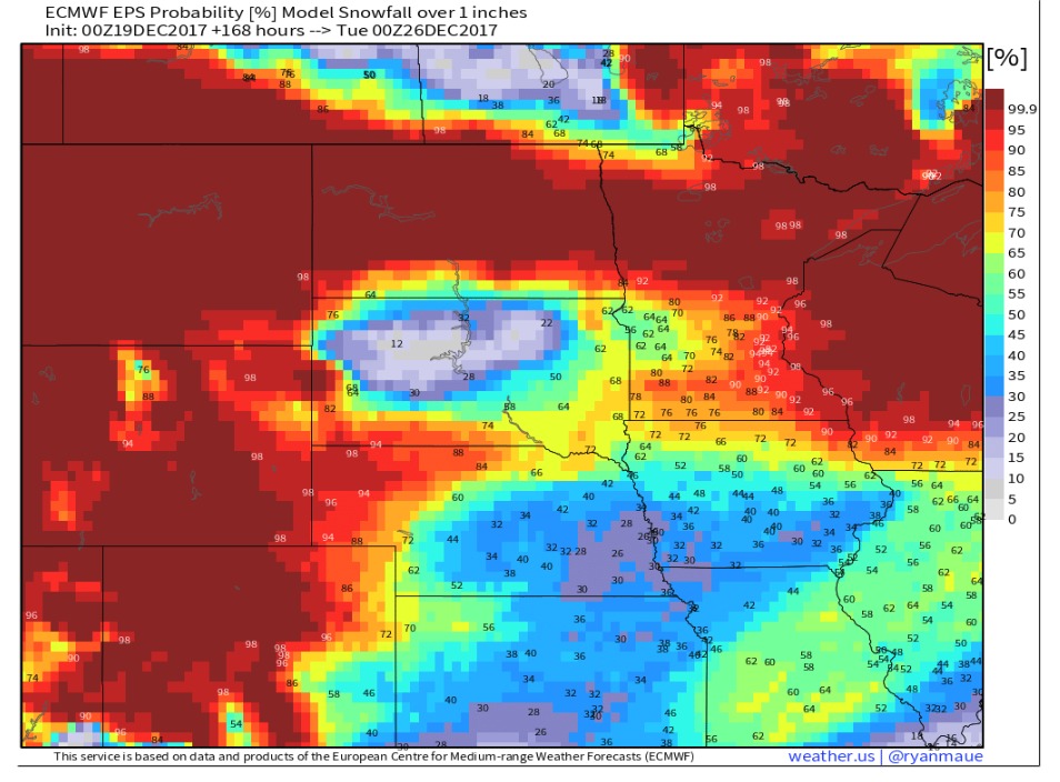
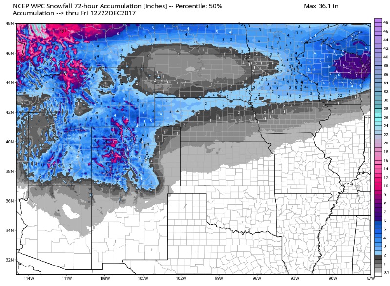
Here is a look at the probability of at least 1″ of snow on the ground by Christmas: