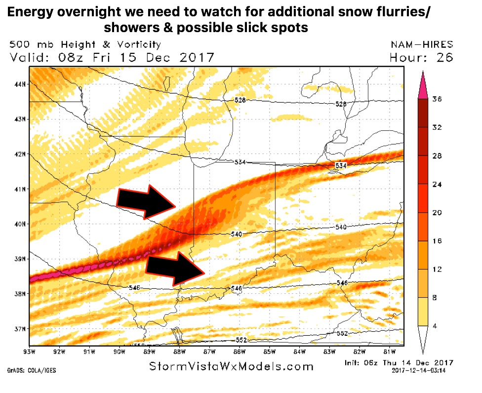
*In the video we note there’s energy moving into the state later this evening into overnight that simulated radar guidance isn’t picking up on, but we need to watch for additional snow showers and possible slick spots…will touch more in this afternoon’s update*
Today’s video (7 min):
Here’s the energy we are referring to that nothing is picking up on the surface later this evening into the overnight…watching this closely so we aren’t caught off guard with temps being in the low to mid 20s:
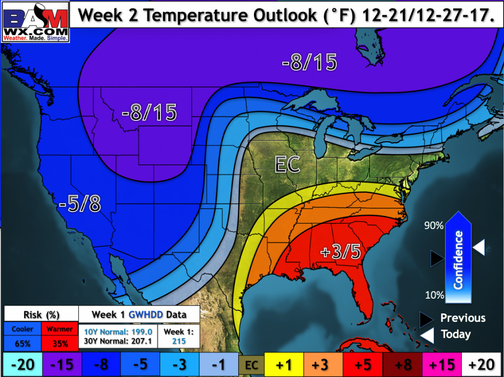
We continue to trend colder with the forecast getting into Christmas week…depending on the strength of the southeast ridge is whether the system between the 23-25th will be rain vs snow…details in the video:

