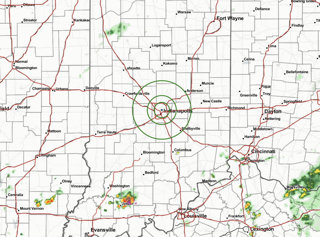
12:15 PM Update:
Nowcast:
Current radar looks quiet at the moment. Cells have already fired well to the south. No cell is being tracked as an immediate threat. Chances will tick up a bit later this afternoon (see below).
Current radar as of 12:09 PM:

Favored Thinking Ahead:
Overall, no major change in thinking vs the AM forecast. After 2 PM, some hit-and-miss. slow moving showers/ storms will be possible (~30%). Any storm will be capable of heavy rain and lightning. If caught directly under a cell, a stronger wind gusts of 30+MPH cannot be ruled out (low end risk). As we approach sundown, coverage and intensity should start to wane.